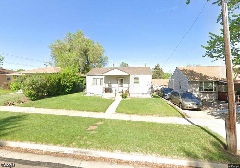
112 Farragut Ave Colorado Springs, CO 80909
Hillside NeighborhoodEstimated Value: $397,000 - $424,314
3
Beds
2
Baths
821
Sq Ft
$497/Sq Ft
Est. Value
About This Home
This home is located at 112 Farragut Ave, Colorado Springs, CO 80909 and is currently estimated at $407,829, approximately $496 per square foot. 112 Farragut Ave is a home located in El Paso County with nearby schools including Columbia Elementary School, North Middle School, and William J. Palmer High School.
Ownership History
Date
Name
Owned For
Owner Type
Purchase Details
Closed on
Jan 29, 2010
Sold by
Andrews Joyce A
Bought by
Kessler Michael G
Current Estimated Value
Purchase Details
Closed on
Jul 23, 1991
Bought by
Kessler Michael G
Purchase Details
Closed on
Jun 1, 1990
Bought by
Kessler Michael G
Purchase Details
Closed on
Oct 1, 1985
Bought by
Kessler Michael G
Purchase Details
Closed on
Jan 1, 1978
Bought by
Kessler Michael G
Create a Home Valuation Report for This Property
The Home Valuation Report is an in-depth analysis detailing your home's value as well as a comparison with similar homes in the area
Home Values in the Area
Average Home Value in this Area
Purchase History
| Date | Buyer | Sale Price | Title Company |
|---|---|---|---|
| Kessler Michael G | $158,000 | None Available | |
| Kessler Michael G | -- | -- | |
| Kessler Michael G | -- | -- | |
| Kessler Michael G | -- | -- | |
| Kessler Michael G | -- | -- |
Source: Public Records
Tax History Compared to Growth
Tax History
| Year | Tax Paid | Tax Assessment Tax Assessment Total Assessment is a certain percentage of the fair market value that is determined by local assessors to be the total taxable value of land and additions on the property. | Land | Improvement |
|---|---|---|---|---|
| 2025 | $1,433 | $32,750 | -- | -- |
| 2024 | $1,319 | $30,210 | $4,930 | $25,280 |
| 2022 | $1,099 | $19,640 | $4,570 | $15,070 |
| 2021 | $1,192 | $20,200 | $4,700 | $15,500 |
| 2020 | $1,129 | $16,630 | $3,620 | $13,010 |
| 2019 | $1,123 | $16,630 | $3,620 | $13,010 |
| 2018 | $1,016 | $13,850 | $2,970 | $10,880 |
| 2017 | $963 | $13,850 | $2,970 | $10,880 |
| 2016 | $740 | $12,760 | $2,740 | $10,020 |
| 2015 | $737 | $12,760 | $2,740 | $10,020 |
| 2014 | $731 | $12,150 | $2,630 | $9,520 |
Source: Public Records
Map
Nearby Homes
- 106 Farragut Ave
- 107 N Logan Ave
- 31 N Meade Ave
- 1418 E Pikes Peak Ave
- 208 N Foote Ave
- 1326 E Platte Ave
- 1220 E Bijou St
- 1302 E Platte Ave
- 105 Bonfoy Ave
- 1220 E Platte Ave
- 27 Bonfoy Ave
- 228 N Hancock Ave
- 230 N Hancock Ave
- 18 Swope Ave
- 1905 E Saint Vrain St
- 237 N Cedar St
- 503 Bonfoy Ave
- 1908 E Saint Vrain St
- 223 Custer Ave
- 225 Custer Ave
- 114 Farragut Ave
- 120 Farragut Ave
- 104 Farragut Ave
- 124 Farragut Ave
- 1512 E Kiowa St
- 111 N Logan Ave
- 113 N Logan Ave
- 119 N Logan Ave
- 1525 E Bijou St
- 107 Farragut Ave
- 1506 E Kiowa St
- 1517 E Bijou St
- 1517 E Bijou St Unit 1517
- 1517 E Bijou St Unit 1519
- 111 Farragut Ave
- 1509 E Bijou St
- 113 Farragut Ave
- 32 Farragut Ave
- 119 Farragut Ave
- 123 N Logan Ave