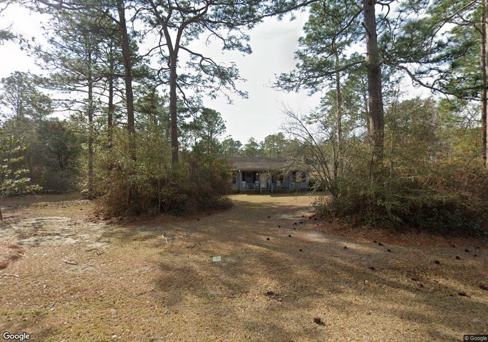
112 Flint Dr Moultrie, GA 31788
Estimated Value: $223,000 - $316,000
--
Bed
2
Baths
1,708
Sq Ft
$158/Sq Ft
Est. Value
About This Home
This home is located at 112 Flint Dr, Moultrie, GA 31788 and is currently estimated at $269,263, approximately $157 per square foot. 112 Flint Dr is a home located in Colquitt County with nearby schools including Sunset Elementary School, Willie J. Williams Middle School, and C.A. Gray Junior High School.
Ownership History
Date
Name
Owned For
Owner Type
Purchase Details
Closed on
Jan 21, 2004
Sold by
Demott Larry
Bought by
Wood Kenneth D
Current Estimated Value
Purchase Details
Closed on
Jun 30, 2000
Sold by
Kitchens Linda C
Bought by
Demott Larry
Purchase Details
Closed on
Dec 20, 1996
Bought by
Kitchens Linda C
Purchase Details
Closed on
Aug 4, 1993
Bought by
Whitfield Laverne H
Create a Home Valuation Report for This Property
The Home Valuation Report is an in-depth analysis detailing your home's value as well as a comparison with similar homes in the area
Purchase History
| Date | Buyer | Sale Price | Title Company |
|---|---|---|---|
| Wood Kenneth D | $91,000 | -- | |
| Demott Larry | $86,500 | -- | |
| Kitchens Linda C | $79,900 | -- | |
| Whitfield Laverne H | $62,000 | -- |
Source: Public Records
Tax History
| Year | Tax Paid | Tax Assessment Tax Assessment Total Assessment is a certain percentage of the fair market value that is determined by local assessors to be the total taxable value of land and additions on the property. | Land | Improvement |
|---|---|---|---|---|
| 2025 | $1,863 | $93,682 | $9,200 | $84,482 |
| 2024 | $1,863 | $89,981 | $9,200 | $80,781 |
| 2023 | $1,898 | $61,252 | $9,200 | $52,052 |
| 2022 | $1,332 | $55,960 | $9,200 | $46,760 |
| 2021 | $1,092 | $51,206 | $9,200 | $42,006 |
| 2020 | $1,046 | $48,562 | $9,200 | $39,362 |
| 2019 | $1,145 | $47,901 | $9,200 | $38,701 |
| 2018 | $1,225 | $47,901 | $9,200 | $38,701 |
| 2017 | $1,133 | $47,901 | $9,200 | $38,701 |
| 2016 | $1,149 | $47,901 | $9,200 | $38,701 |
| 2015 | $1,158 | $47,901 | $9,200 | $38,701 |
| 2014 | $1,394 | $53,046 | $9,200 | $43,846 |
| 2013 | -- | $53,045 | $9,200 | $43,845 |
Source: Public Records
Map
Nearby Homes
- 144 Flint Dr
- 3208 Tallokas Rd
- 0 Tallokas Rd Unit 11663248
- 31 31st Ave SE
- 72 Packer Pride Dr SE
- 264 Cobblestone Blvd SE
- 69 Packer Pride Dr SE
- 85 Cobblestone Blvd SE
- 151 Upper Trail
- 80 Cobblestone Blvd SE
- 35 Cobblestone Blvd SE
- 2754 Tallokas Rd
- 150 Friendship Trail
- 36 Cobblestone Blvd SE
- 0 Old Timey Trail
- 410 Indian Trail
- 104 Inner Cir
- 96 Baell Trace Ct SE
- 110 Baell Trace Ct SE
- 206 Baell Trace Ct
- 153 Suwanee Rd
- 101 Bull Creek Rd
- 103 Bull Creek Rd
- 113 Flint Dr
- 149 Suwanee Rd
- 117 Flint Dr
- 102 Bull Creek Rd
- 107 Bull Creek Rd
- 109 Flint Dr
- 145 Suwanee Rd
- 104 Bull Creek Rd
- 200 Suwanee Rd
- 122 Flint Dr
- 205 Suwanee Rd
- 112 Reedy Rd
- 108 Bull Creek Rd
- 111 Bull Creek Rd
- 140 Suwanee Rd
- 105 Flint Dr
- 209 Suwanee Rd
Your Personal Tour Guide
Ask me questions while you tour the home.