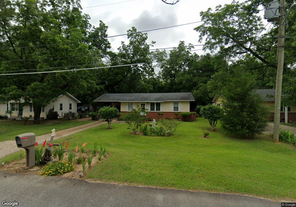
112 Force Dr Albany, GA 31705
Estimated Value: $45,000 - $58,000
2
Beds
1
Bath
875
Sq Ft
$60/Sq Ft
Est. Value
About This Home
This home is located at 112 Force Dr, Albany, GA 31705 and is currently estimated at $52,281, approximately $59 per square foot. 112 Force Dr is a home located in Dougherty County with nearby schools including Turner Elementary School, Albany Middle School, and Radium Springs Middle School.
Ownership History
Date
Name
Owned For
Owner Type
Purchase Details
Closed on
Aug 5, 2025
Sold by
Greenleo Residential Rental Llc
Bought by
Guerrero Roxann
Current Estimated Value
Purchase Details
Closed on
Oct 5, 2016
Sold by
Cohen Barry M
Bought by
Marshall Thomas James
Purchase Details
Closed on
Jan 1, 2002
Sold by
Wellman Robert A U/W By Exec
Bought by
Wellman Frances R
Purchase Details
Closed on
Nov 6, 1997
Sold by
Twitty Willie C
Bought by
Wellman Frances R and Wellman Robert A
Purchase Details
Closed on
Nov 5, 1956
Bought by
Twitty William C
Create a Home Valuation Report for This Property
The Home Valuation Report is an in-depth analysis detailing your home's value as well as a comparison with similar homes in the area
Home Values in the Area
Average Home Value in this Area
Purchase History
| Date | Buyer | Sale Price | Title Company |
|---|---|---|---|
| Guerrero Roxann | -- | -- | |
| Marshall Thomas James | -- | -- | |
| Wellman Frances R | -- | -- | |
| Wellman Frances R | -- | -- | |
| Twitty William C | -- | -- |
Source: Public Records
Tax History Compared to Growth
Tax History
| Year | Tax Paid | Tax Assessment Tax Assessment Total Assessment is a certain percentage of the fair market value that is determined by local assessors to be the total taxable value of land and additions on the property. | Land | Improvement |
|---|---|---|---|---|
| 2024 | $674 | $14,120 | $2,000 | $12,120 |
| 2023 | $658 | $14,120 | $2,000 | $12,120 |
| 2022 | $660 | $14,120 | $2,000 | $12,120 |
| 2021 | $612 | $14,120 | $2,000 | $12,120 |
| 2020 | $614 | $14,120 | $2,000 | $12,120 |
| 2019 | $616 | $14,120 | $2,000 | $12,120 |
| 2018 | $619 | $14,120 | $2,000 | $12,120 |
| 2017 | $576 | $14,120 | $2,000 | $12,120 |
| 2016 | $577 | $14,120 | $2,000 | $12,120 |
| 2015 | $578 | $14,120 | $2,000 | $12,120 |
| 2014 | $571 | $14,120 | $2,000 | $12,120 |
Source: Public Records
Map
Nearby Homes
- 148 Force Dr
- 2731 Yorktown Ave
- 308 Forrestal Ln
- 2802 Banks Ave
- 3625 Sylvester Rd
- 2529 Cherokee Dr
- 2523 Cherokee Dr
- 100 Gurr Dr
- 410 Johnson Rd
- 513 Johnson Rd
- 0 Lumpkin St
- 234 Cone St
- 306 Elsom St
- 307 Acorn St
- 309 Acorn St
- 2006 Keystone Ave
- 2004 Keystone Ave
- 3431 Gladys Ct
- 2221 Duitman Rd
- 1618 Beverly Ave