112 Gail Dr Weatherford, TX 76085
Estimated Value: $424,039 - $636,000
--
Bed
--
Bath
2,292
Sq Ft
$221/Sq Ft
Est. Value
About This Home
This home is located at 112 Gail Dr, Weatherford, TX 76085 and is currently estimated at $507,010, approximately $221 per square foot. 112 Gail Dr is a home located in Parker County with nearby schools including Martin Elementary School, Tison Middle School, and Weatherford High School.
Ownership History
Date
Name
Owned For
Owner Type
Purchase Details
Closed on
Sep 3, 2014
Sold by
Cross D Land And Cattle Co
Bought by
Baker Joseph Herbert
Current Estimated Value
Purchase Details
Closed on
Jun 25, 2007
Sold by
Jury Donald K
Bought by
Baker Joseph Herbert
Purchase Details
Closed on
Jul 18, 2002
Sold by
San Juan T Fredrick and San Kristie
Bought by
Baker Joseph Herbert
Purchase Details
Closed on
Jun 26, 2000
Sold by
Berschig Barbara N
Bought by
Baker Joseph Herbert
Create a Home Valuation Report for This Property
The Home Valuation Report is an in-depth analysis detailing your home's value as well as a comparison with similar homes in the area
Home Values in the Area
Average Home Value in this Area
Purchase History
| Date | Buyer | Sale Price | Title Company |
|---|---|---|---|
| Baker Joseph Herbert | -- | -- | |
| Baker Joseph Herbert | -- | -- | |
| Baker Joseph Herbert | -- | -- | |
| Baker Joseph Herbert | -- | -- |
Source: Public Records
Tax History Compared to Growth
Tax History
| Year | Tax Paid | Tax Assessment Tax Assessment Total Assessment is a certain percentage of the fair market value that is determined by local assessors to be the total taxable value of land and additions on the property. | Land | Improvement |
|---|---|---|---|---|
| 2025 | $4,359 | $286,400 | $38,220 | $248,180 |
| 2024 | $4,359 | $331,155 | -- | -- |
| 2023 | $4,359 | $301,050 | $0 | $0 |
| 2022 | $5,096 | $273,690 | $31,080 | $242,610 |
| 2021 | $5,026 | $273,690 | $31,080 | $242,610 |
| 2020 | $4,591 | $226,360 | $24,620 | $201,740 |
| 2019 | $4,683 | $226,360 | $24,620 | $201,740 |
| 2018 | $4,279 | $199,120 | $18,700 | $180,420 |
| 2017 | $4,420 | $199,120 | $18,700 | $180,420 |
| 2016 | $3,609 | $162,590 | $14,890 | $147,700 |
| 2015 | $3,561 | $162,590 | $14,890 | $147,700 |
| 2014 | $3,122 | $154,200 | $25,760 | $128,440 |
Source: Public Records
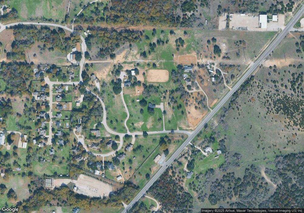
Map
Nearby Homes
- 1201 Azle Hwy
- Big Cypress II Plan at Waterford Park
- San Gabriel II Plan at Waterford Park
- Cascade II Plan at Waterford Park
- Lavon Plan at Waterford Park
- Nueces Plan at Waterford Park
- Verbena V2 Plan at Waterford Park
- San Saba III Plan at Waterford Park
- Bluebonnet Plan at Waterford Park
- Havasu III Plan at Waterford Park
- Navasota Plan at Waterford Park
- Neches Plan at Waterford Park
- 707 Gail Dr
- 719 Gail Dr
- 544 Waterford Park Blvd
- 2300 Shamrock Ln
- 557 Waterford Park Blvd
- 2313 Shamrock Ln
- 2317 Shamrock Ln
- 540 Waterford Park Blvd
- 101 Timaaron Ct
- 180 Gail Dr
- 1015 Azle Hwy
- 901 Azle Hwy
- 102 Timaaron Ct
- 105 Timaaron Ct
- 261 Gail Dr
- 201 Gail Dr
- 1002 Azle Hwy
- 106 Timaaron Ct
- 266 Gail Dr
- 1000 Azle Hwy
- 109 Timaaron Ct
- 110 Timaaron Ct
- 113 Timaaron Ct
- 103 Meadow Creek Dr
- 117 Timaaron Ct
- 125 Timaaron Ct
- 121 Timaaron Ct
- 104 Meadow Creek Dr