112 Gillis Rd Adrian, GA 31002
Estimated Value: $265,000 - $312,000
--
Bed
3
Baths
2,279
Sq Ft
$123/Sq Ft
Est. Value
About This Home
This home is located at 112 Gillis Rd, Adrian, GA 31002 and is currently estimated at $281,397, approximately $123 per square foot. 112 Gillis Rd is a home located in Johnson County with nearby schools including Johnson County Elementary School, Johnson County Middle School, and Johnson County High School.
Ownership History
Date
Name
Owned For
Owner Type
Purchase Details
Closed on
Oct 25, 2023
Sold by
Irvin Francis
Bought by
Francis Irvin L and Francis Taasha Simone
Current Estimated Value
Purchase Details
Closed on
Sep 24, 2020
Sold by
Platt Benjamin Ellis
Bought by
Britt Marjorie
Purchase Details
Closed on
Sep 5, 2018
Sold by
Britt Marjorie
Bought by
Platt Benjamin Ellis and Britt Marjorie
Purchase Details
Closed on
Mar 21, 2012
Sold by
Britt James Howard
Bought by
Britt Marjorie Pryor
Purchase Details
Closed on
Nov 4, 2008
Sold by
Coleman Deborah M and Anderson Horace
Bought by
Mortgage Electronic Registration Sys
Create a Home Valuation Report for This Property
The Home Valuation Report is an in-depth analysis detailing your home's value as well as a comparison with similar homes in the area
Home Values in the Area
Average Home Value in this Area
Purchase History
| Date | Buyer | Sale Price | Title Company |
|---|---|---|---|
| Francis Irvin L | -- | -- | |
| Francis Irvin | $250,000 | -- | |
| Britt Marjorie | -- | -- | |
| Platt Benjamin Ellis | -- | -- | |
| Britt Marjorie Pryor | -- | -- | |
| Mortgage Electronic Registration Sys | -- | -- |
Source: Public Records
Tax History Compared to Growth
Tax History
| Year | Tax Paid | Tax Assessment Tax Assessment Total Assessment is a certain percentage of the fair market value that is determined by local assessors to be the total taxable value of land and additions on the property. | Land | Improvement |
|---|---|---|---|---|
| 2024 | $2,288 | $73,798 | $3,624 | $70,174 |
| 2023 | $2,288 | $73,798 | $3,624 | $70,174 |
| 2022 | $2,104 | $73,798 | $3,624 | $70,174 |
| 2021 | $1,716 | $58,532 | $3,624 | $54,908 |
| 2020 | $1,779 | $58,532 | $3,624 | $54,908 |
| 2019 | $1,773 | $58,292 | $3,624 | $54,668 |
| 2018 | $1,709 | $58,292 | $3,624 | $54,668 |
| 2017 | $1,780 | $58,292 | $3,624 | $54,668 |
| 2016 | $1,738 | $59,250 | $3,624 | $55,626 |
| 2015 | -- | $62,428 | $3,624 | $58,804 |
| 2014 | -- | $62,428 | $3,624 | $58,804 |
| 2013 | -- | $62,428 | $3,624 | $58,803 |
Source: Public Records
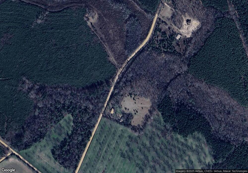
Map
Nearby Homes
- 0 Pendleton Creek Rd Unit SA340356
- 499 Smith Chapel Rd
- 2618 Georgia 86
- 2373 U S 80
- Pendleton Rreek Rd
- NA Rd
- 250 Archers Pond Smith Rd
- 0 Eugene Ward Rd Unit 10652768
- 907 Orianna Rd
- 0 Walden Way Unit 10601502
- 0 Muskogee Trail Unit LOT 84
- 0 Muskogee Trail Unit 30570
- 0 Muskogee Trail Unit 25917
- 0 Muskogee Trail Unit LOT 78 20128125
- 509 Maddox Rd
- 117 Lovett Scott Rd
- 177 Lovett Scott Rd
- 84 J D Garnto Rd
- 0 Lake Helen Loop Unit 10640271
- 859 Silver Rd
- 274 Gillis Rd
- 784 Perry Horton Rd
- 517 County Line Rd
- 426 Gillis Rd
- 00 Poplar Springs Church Rd
- 400 Poplar Springs Church Rd
- 621 Poplar Springs Church Rd
- 00 Rt 1 Box 68k
- 00 Rt 1 Box 80
- 00 Rt 1 Box 61-B
- 00 Rt 1 Box 206
- 0
- 396 Poplar Springs Church Rd
- 0 Perry Horton Rd
- 64 Perry Horton Rd
- 785 Rufus Youmans Rd