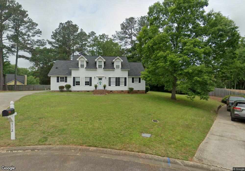
112 Graylock Ct Columbia, SC 29212
Northwest Columbia NeighborhoodEstimated Value: $252,000 - $258,000
3
Beds
3
Baths
1,571
Sq Ft
$162/Sq Ft
Est. Value
About This Home
This home is located at 112 Graylock Ct, Columbia, SC 29212 and is currently estimated at $255,147, approximately $162 per square foot. 112 Graylock Ct is a home located in Lexington County with nearby schools including Irmo Middle, Irmo High, and Green Charter School Of The Midlands.
Ownership History
Date
Name
Owned For
Owner Type
Purchase Details
Closed on
Mar 22, 2013
Sold by
Robinson C Stephen
Bought by
Robinson Bonnie N
Current Estimated Value
Home Financials for this Owner
Home Financials are based on the most recent Mortgage that was taken out on this home.
Original Mortgage
$115,000
Outstanding Balance
$62,516
Interest Rate
3.57%
Mortgage Type
Future Advance Clause Open End Mortgage
Estimated Equity
$192,631
Purchase Details
Closed on
Sep 9, 2005
Sold by
The Estate Of Leslie Melvin Franz
Bought by
Robinson Bonnie N and Stephen Robinson C
Home Financials for this Owner
Home Financials are based on the most recent Mortgage that was taken out on this home.
Original Mortgage
$127,000
Interest Rate
5.77%
Mortgage Type
New Conventional
Create a Home Valuation Report for This Property
The Home Valuation Report is an in-depth analysis detailing your home's value as well as a comparison with similar homes in the area
Home Values in the Area
Average Home Value in this Area
Purchase History
| Date | Buyer | Sale Price | Title Company |
|---|---|---|---|
| Robinson Bonnie N | -- | -- | |
| Robinson Bonnie N | $127,000 | -- |
Source: Public Records
Mortgage History
| Date | Status | Borrower | Loan Amount |
|---|---|---|---|
| Open | Robinson Bonnie N | $115,000 | |
| Closed | Robinson Bonnie N | $127,000 |
Source: Public Records
Tax History
| Year | Tax Paid | Tax Assessment Tax Assessment Total Assessment is a certain percentage of the fair market value that is determined by local assessors to be the total taxable value of land and additions on the property. | Land | Improvement |
|---|---|---|---|---|
| 2024 | $1,016 | $6,135 | $1,340 | $4,795 |
| 2023 | $941 | $6,135 | $1,340 | $4,795 |
| 2022 | $961 | $6,135 | $1,340 | $4,795 |
| 2020 | $1,001 | $6,135 | $1,340 | $4,795 |
| 2019 | $886 | $5,334 | $1,400 | $3,934 |
| 2018 | $778 | $5,334 | $1,400 | $3,934 |
| 2017 | $757 | $5,334 | $1,400 | $3,934 |
| 2016 | $778 | $5,334 | $1,400 | $3,934 |
| 2014 | $863 | $5,868 | $1,400 | $4,468 |
| 2013 | -- | $5,870 | $1,400 | $4,470 |
Source: Public Records
Map
Nearby Homes
- 123 Brent Ford Rd
- 124 Melville Rd
- 1 Brittany Way
- 170 Cannon Dale Rd
- 130 Ripley Station Rd
- 307 Heatherstone Rd
- 100 Ripley Station Rd
- 132 Laurel Branch Way
- 346 Heatherstone Rd
- 344 Redstone Way
- 110 Thornhill Rd
- 2141 Lake Murray Blvd
- 209 Doulton Way
- 525 Smiths Market Rd
- 110 Bilton Rd
- 215 Wilton Hill Rd
- 1720 Lake Murray Blvd
- 140 Old Pond Ln
- 123 Stephenson Ln
- 125 Old Pond Ln
- 110 Graylock Ct
- 117 Barnsley Rd
- 113 Graylock Ct
- 123 Barnsley Rd
- 129 Barnsley Rd
- 111 Graylock Ct
- 133 Barnsley Rd
- 105 Barnsley Rd
- 135 Melville Rd
- 139 Melville Rd
- 107 Graylock Ct
- 143 Melville Rd
- 118 Barnsley Rd
- 130 Barnsley Rd
- 116 Brentford Rd
- 114 Barnsley Rd
- 126 Barnsley Rd
- 120 Brent Ford Rd
- 122 Barnsley Rd
- 128 Brentford Rd
Your Personal Tour Guide
Ask me questions while you tour the home.