Estimated Value: $453,000 - $542,000
4
Beds
4
Baths
3,514
Sq Ft
$145/Sq Ft
Est. Value
About This Home
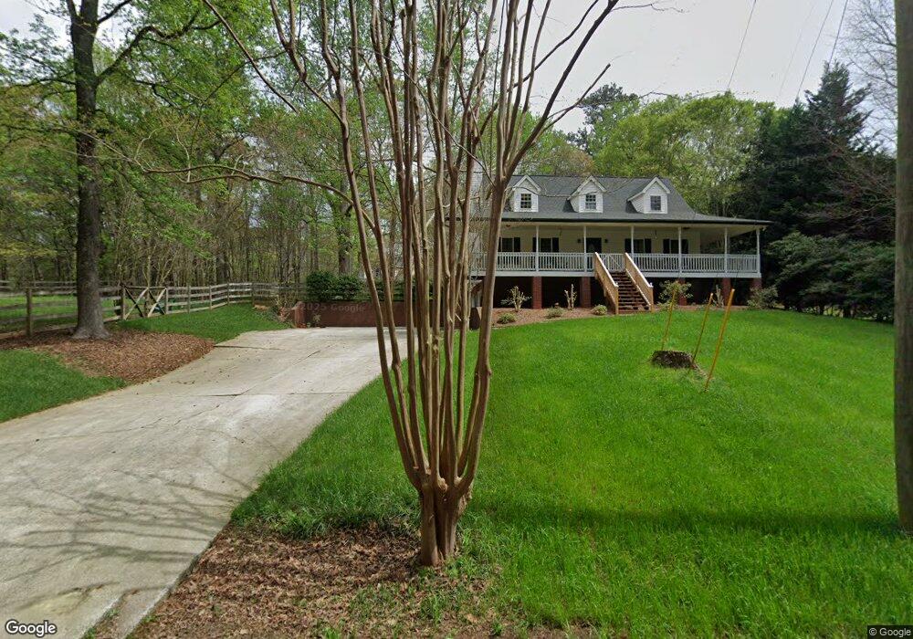
This home is located at 112 Hightower Rd, Hiram, GA 30141 and is currently estimated at $510,133, approximately $145 per square foot. 112 Hightower Rd is a home located in Paulding County with nearby schools including Sam D. Panter Elementary School, J. A. Dobbins Middle School, and Hiram High School.
Ownership History
Date
Name
Owned For
Owner Type
Purchase Details
Closed on
Jan 31, 2022
Sold by
Silverstone Residential Ga Llc
Bought by
Suggs Rosario Vivian
Current Estimated Value
Home Financials for this Owner
Home Financials are based on the most recent Mortgage that was taken out on this home.
Original Mortgage
$371,734
Outstanding Balance
$343,908
Interest Rate
3.56%
Mortgage Type
FHA
Estimated Equity
$166,225
Purchase Details
Closed on
Mar 28, 2019
Sold by
Wm Sub Grgn Llc
Bought by
Silverstone Residential Ga Llc
Create a Home Valuation Report for This Property
The Home Valuation Report is an in-depth analysis detailing your home's value as well as a comparison with similar homes in the area
Home Values in the Area
Average Home Value in this Area
Purchase History
| Date | Buyer | Sale Price | Title Company |
|---|---|---|---|
| Suggs Rosario Vivian | $378,592 | -- | |
| Silverstone Residential Ga Llc | -- | -- |
Source: Public Records
Mortgage History
| Date | Status | Borrower | Loan Amount |
|---|---|---|---|
| Open | Suggs Rosario Vivian | $371,734 |
Source: Public Records
Tax History Compared to Growth
Tax History
| Year | Tax Paid | Tax Assessment Tax Assessment Total Assessment is a certain percentage of the fair market value that is determined by local assessors to be the total taxable value of land and additions on the property. | Land | Improvement |
|---|---|---|---|---|
| 2024 | $4,179 | $171,240 | $22,360 | $148,880 |
| 2023 | $4,103 | $159,920 | $21,760 | $138,160 |
| 2022 | $3,736 | $145,200 | $17,720 | $127,480 |
| 2021 | $3,266 | $114,240 | $14,080 | $100,160 |
| 2020 | $3,022 | $103,600 | $13,280 | $90,320 |
| 2019 | $2,834 | $95,920 | $14,080 | $81,840 |
| 2018 | $2,746 | $93,000 | $13,040 | $79,960 |
| 2017 | $2,507 | $83,920 | $12,480 | $71,440 |
| 2016 | $1,867 | $63,600 | $12,480 | $51,120 |
| 2015 | $1,809 | $60,640 | $12,240 | $48,400 |
| 2014 | $1,688 | $55,320 | $11,240 | $44,080 |
| 2013 | -- | $48,040 | $12,360 | $35,680 |
Source: Public Records
Map
Nearby Homes
- 115 Ashley Pointe Dr
- 2010 Laird Rd
- 7131 Ridge Rd
- 81 Lawanda Ln
- 6488 Nebo Rd
- 232 Bethel Church Rd
- 18 Thorntree Pass
- 6652 Ridge Rd
- 288 Valerie Cir
- 493 Kyles Cir
- 6994 Ridge Rd
- 7012 Nebo Rd
- 64 Cove Dr
- 67 Haley Ct
- 617 Kyles Cir
- 74 Bonds Ct
- 1616 Mcclung Rd
- 261 Township Dr
- 245 London Ln
- 642 Crestworth Crossing
- 82 Hightower Rd
- 1822 Laird Rd
- 1758 Laird Rd
- 1724 Laird Rd
- 16 Ashley Pointe Dr
- 9 Hightower Rd
- 127 Hightower Rd
- 204 Hightower Rd
- 1702 Laird Rd
- 11 Ashley Pointe Dr
- 30 Ashley Pointe Dr
- 0 Hightower Rd Unit 3192939
- 0 Hightower Rd Unit 7074476
- 0 Hightower Rd Unit 4296128
- 00 Hightower Rd
- 0 Hightower Rd Unit 9042961
- 0 Hightower Rd Unit 6937121
- 131 Hightower Rd
- 121 Hightower Rd
- 44 Ashley Pointe Dr