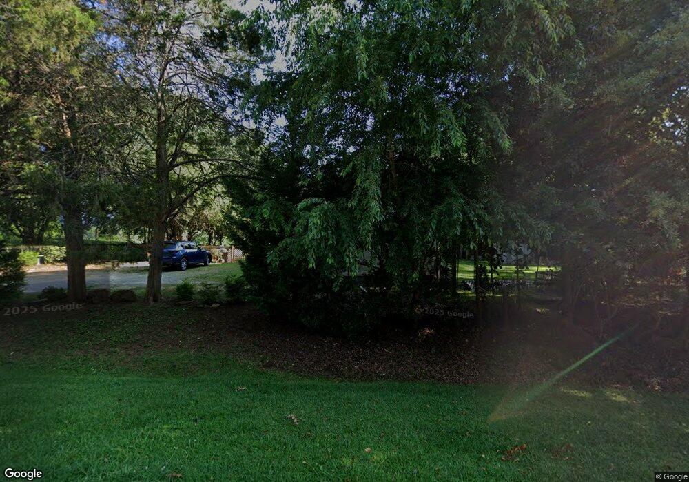
112 Highway 11 Landrum, SC 29356
Estimated Value: $178,000 - $192,000
2
Beds
1
Bath
1,178
Sq Ft
$158/Sq Ft
Est. Value
About This Home
This home is located at 112 Highway 11, Landrum, SC 29356 and is currently estimated at $185,845, approximately $157 per square foot. 112 Highway 11 is a home located in Greenville County with nearby schools including O.P. Earle Elementary School, Landrum Middle School, and Landrum High School.
Ownership History
Date
Name
Owned For
Owner Type
Purchase Details
Closed on
Jun 13, 2025
Sold by
Thornton Eve P
Bought by
Somero Cammie and Somero Joe
Current Estimated Value
Purchase Details
Closed on
Oct 13, 2005
Sold by
Thornton Eve P
Bought by
Thornton Eve P
Purchase Details
Closed on
Sep 22, 2004
Sold by
Price Inez G
Bought by
Thornton Eve P
Purchase Details
Closed on
Feb 13, 2003
Sold by
Price Louie
Bought by
Price Inez G
Create a Home Valuation Report for This Property
The Home Valuation Report is an in-depth analysis detailing your home's value as well as a comparison with similar homes in the area
Home Values in the Area
Average Home Value in this Area
Purchase History
| Date | Buyer | Sale Price | Title Company |
|---|---|---|---|
| Somero Cammie | $189,000 | None Listed On Document | |
| Somero Cammie | $189,000 | None Listed On Document | |
| Thornton Eve P | $46,000 | -- | |
| Thornton Eve P | -- | -- | |
| Price Inez G | -- | -- |
Source: Public Records
Tax History Compared to Growth
Tax History
| Year | Tax Paid | Tax Assessment Tax Assessment Total Assessment is a certain percentage of the fair market value that is determined by local assessors to be the total taxable value of land and additions on the property. | Land | Improvement |
|---|---|---|---|---|
| 2024 | $1,683 | $4,230 | $4,230 | $0 |
| 2023 | $1,683 | $4,230 | $4,230 | $0 |
| 2022 | $1,730 | $4,230 | $4,230 | $0 |
| 2021 | $1,722 | $4,230 | $4,230 | $0 |
| 2020 | $1,530 | $3,670 | $3,670 | $0 |
| 2019 | $1,529 | $3,670 | $3,670 | $0 |
| 2018 | $1,524 | $3,670 | $3,670 | $0 |
| 2017 | $2,454 | $6,060 | $2,580 | $3,480 |
| 2016 | $2,435 | $101,060 | $61,200 | $39,860 |
| 2015 | $2,431 | $101,060 | $61,200 | $39,860 |
| 2014 | $2,172 | $90,491 | $50,410 | $40,081 |
Source: Public Records
Map
Nearby Homes
- 3 Pleasant Hill Rd
- 7 15th Vantage
- 5411 S Carolina 14
- 11585 New Cut Rd
- 11573 New Cut Rd
- 11555 New Cut Rd
- 203 Muirfield Dr
- 1 Carnoustie Ct
- 350 Royal Burgess Dr
- 105 Smith Rd
- 10490 New Cut Rd
- 312 Lister Rd
- 510 Pleasant Hill Rd
- 313 Arledge Rd
- 128 Goodjoin Rd
- 707 Lister Rd
- 207 Lister Rd
- 100 Pardo Rd
- 127 Pardo Rd
- 108 Highway 11
- 107 Highway 11
- 124 Highway 11
- 123 Highway 11
- 5589 N Highway 14
- 5585 N Highway 14
- 5581 N Highway 14
- 5629 N Highway 14
- 14095 Highway 11
- 5509 N Highway 14
- 2 Royal Troon
- 5631 N Highway 14
- 5513 N Highway 14
- 0 Royal Troon Unit 1291765
- 0 Royal Troon Unit 1334483
- 5505 N Highway 14
- 5505 N Highway 14
- 6 Royal Troon
- 8 Royal Troon
- 5501 S Carolina 14
