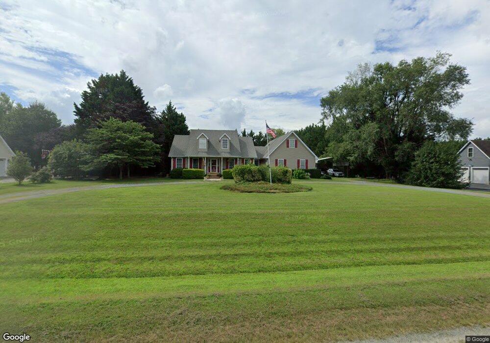
112 Hilltop Dr Chestertown, MD 21620
Estimated Value: $430,072 - $478,000
--
Bed
2
Baths
1,941
Sq Ft
$232/Sq Ft
Est. Value
About This Home
This home is located at 112 Hilltop Dr, Chestertown, MD 21620 and is currently estimated at $450,268, approximately $231 per square foot. 112 Hilltop Dr is a home located in Queen Anne's County with nearby schools including Church Hill Elementary School, Sudlersville Middle School, and Queen Anne's County High School.
Ownership History
Date
Name
Owned For
Owner Type
Purchase Details
Closed on
Aug 15, 2007
Sold by
Droter James M
Bought by
Vanzant Keith E and Vanzant Sharon E
Current Estimated Value
Home Financials for this Owner
Home Financials are based on the most recent Mortgage that was taken out on this home.
Original Mortgage
$337,250
Outstanding Balance
$214,075
Interest Rate
6.71%
Mortgage Type
Purchase Money Mortgage
Estimated Equity
$236,193
Purchase Details
Closed on
Jan 9, 2001
Sold by
Droter James M and Droter John A
Bought by
Droter James M
Purchase Details
Closed on
May 19, 2000
Sold by
Michael J Bozek Inc
Bought by
Droter James M and Droter John A
Create a Home Valuation Report for This Property
The Home Valuation Report is an in-depth analysis detailing your home's value as well as a comparison with similar homes in the area
Home Values in the Area
Average Home Value in this Area
Purchase History
| Date | Buyer | Sale Price | Title Company |
|---|---|---|---|
| Vanzant Keith E | $355,000 | -- | |
| Vanzant Keith E | $355,000 | -- | |
| Droter James M | -- | -- | |
| Droter James M | $26,000 | -- |
Source: Public Records
Mortgage History
| Date | Status | Borrower | Loan Amount |
|---|---|---|---|
| Open | Vanzant Keith E | $337,250 | |
| Closed | Vanzant Keith E | $337,250 | |
| Closed | Droter James M | -- |
Source: Public Records
Tax History Compared to Growth
Tax History
| Year | Tax Paid | Tax Assessment Tax Assessment Total Assessment is a certain percentage of the fair market value that is determined by local assessors to be the total taxable value of land and additions on the property. | Land | Improvement |
|---|---|---|---|---|
| 2025 | $3,057 | $361,600 | $90,000 | $271,600 |
| 2024 | $2,897 | $331,067 | $0 | $0 |
| 2023 | $2,746 | $300,533 | $0 | $0 |
| 2022 | $2,603 | $270,000 | $75,000 | $195,000 |
| 2021 | $2,596 | $267,200 | $0 | $0 |
| 2020 | $2,596 | $264,400 | $0 | $0 |
| 2019 | $2,569 | $261,600 | $75,000 | $186,600 |
| 2018 | $2,553 | $259,967 | $0 | $0 |
| 2017 | $2,538 | $258,333 | $0 | $0 |
| 2016 | -- | $256,700 | $0 | $0 |
| 2015 | $1,353 | $256,700 | $0 | $0 |
| 2014 | $1,353 | $256,700 | $0 | $0 |
Source: Public Records
Map
Nearby Homes
- 216 Blakefield Dr
- 247 Blakefield Dr
- 109 Wilton Rd
- 213 Central Dr
- 222 Dutchess Rd
- 492 Pear Tree Point Rd
- 0 East St
- 26933 Mallard Rd
- 121 Primrose Rd
- 105 High St
- 228 S Water St
- 206 S Water St
- 101 Birch Run Rd
- 108 Little Harbor Way
- 104 Little Harbor Way
- 0 Little Harbor Way Unit 1
- 0 Little Harbor Way Unit 1 MDKE2004992
- 102 Little Harbor Way
- 118 Little Harbor Way Unit 202
- 206 Cannon St