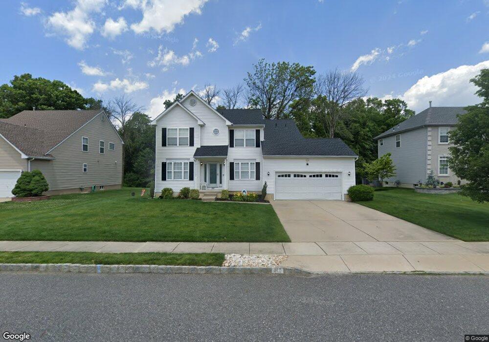
112 Independence Dr Woodbury, NJ 08096
Deptford Township NeighborhoodEstimated Value: $464,205 - $531,000
--
Bed
--
Bath
2,379
Sq Ft
$208/Sq Ft
Est. Value
About This Home
This home is located at 112 Independence Dr, Woodbury, NJ 08096 and is currently estimated at $495,301, approximately $208 per square foot. 112 Independence Dr is a home located in Gloucester County with nearby schools including Deptford Township High School, St. Teresa Regional School, and Holy Angels Catholic School.
Ownership History
Date
Name
Owned For
Owner Type
Purchase Details
Closed on
Sep 19, 2002
Sold by
Paparone At Patriots Ridge Llc
Bought by
Nilsen Joseph J and Nilsen Beverly A
Current Estimated Value
Home Financials for this Owner
Home Financials are based on the most recent Mortgage that was taken out on this home.
Original Mortgage
$165,000
Outstanding Balance
$69,077
Interest Rate
6.27%
Mortgage Type
Purchase Money Mortgage
Estimated Equity
$426,224
Create a Home Valuation Report for This Property
The Home Valuation Report is an in-depth analysis detailing your home's value as well as a comparison with similar homes in the area
Home Values in the Area
Average Home Value in this Area
Purchase History
| Date | Buyer | Sale Price | Title Company |
|---|---|---|---|
| Nilsen Joseph J | $230,905 | Fidelity National Title |
Source: Public Records
Mortgage History
| Date | Status | Borrower | Loan Amount |
|---|---|---|---|
| Open | Nilsen Joseph J | $165,000 |
Source: Public Records
Tax History Compared to Growth
Tax History
| Year | Tax Paid | Tax Assessment Tax Assessment Total Assessment is a certain percentage of the fair market value that is determined by local assessors to be the total taxable value of land and additions on the property. | Land | Improvement |
|---|---|---|---|---|
| 2025 | $9,210 | $256,900 | $46,500 | $210,400 |
| 2024 | $8,914 | $256,900 | $46,500 | $210,400 |
| 2023 | $8,914 | $256,900 | $46,500 | $210,400 |
| 2022 | $8,850 | $256,900 | $46,500 | $210,400 |
| 2021 | $7,873 | $256,900 | $46,500 | $210,400 |
| 2020 | $8,624 | $256,900 | $46,500 | $210,400 |
| 2019 | $8,460 | $256,900 | $46,500 | $210,400 |
| 2018 | $8,270 | $256,900 | $46,500 | $210,400 |
| 2017 | $8,049 | $256,900 | $46,500 | $210,400 |
| 2016 | $7,884 | $256,900 | $46,500 | $210,400 |
| 2015 | $7,640 | $256,900 | $46,500 | $210,400 |
| 2014 | $7,442 | $256,900 | $46,500 | $210,400 |
Source: Public Records
Map
Nearby Homes
- 341 Chancellor Dr
- 208 Chancellor Dr
- 622 Sweetgum Ln Unit 145
- 128 Pennsbury Ln
- 416 Dogwood Dr
- 431 Dogwood Dr
- 162 Liberty Way
- 140 Liberty Way
- 1287 Clements Bridge Rd
- 13 Yorktown Ct
- 103 Carriage Way
- 222 Steeplechase Ct Unit 22/G
- 265 Steeplechase Ct Unit B265
- 340 Arline Ave
- 305 Steeplechase Ct
- 409 Steeplechase Ct Unit M409
- 460 Steeplechase Ct Unit L460
- 1228 Burlington Ave
- 301 Castlewood Way
- 702 N Brooke Dr
- 114 Independence Dr
- 110 Independence Dr
- 116 Independence Dr
- 108 Independence Dr
- 111 Independence Dr
- 109 Independence Dr
- 113 Independence Dr
- 2 Freedom Ct
- 106 Independence Dr
- 115 Independence Dr
- 148 Betsy Ross Way
- 146 Betsy Ross Way
- 144 Betsy Ross Way
- 4 Freedom Ct
- 104 Independence Dr
- 119 Independence Dr
- 142 Betsy Ross Way
- 120 Independence Dr
- 6 Freedom Ct
- 101 Sansom Ln