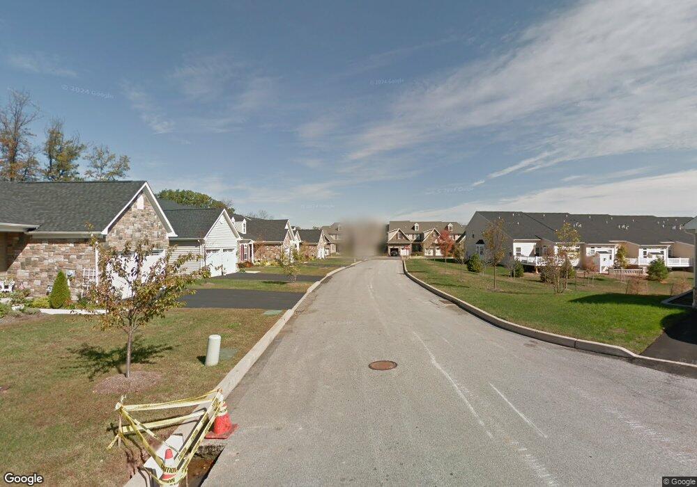
112 Jasper Ct Norristown, PA 19403
Estimated Value: $551,852 - $630,000
3
Beds
3
Baths
2,288
Sq Ft
$261/Sq Ft
Est. Value
About This Home
This home is located at 112 Jasper Ct, Norristown, PA 19403 and is currently estimated at $596,213, approximately $260 per square foot. 112 Jasper Ct is a home located in Montgomery County with nearby schools including Worcester Elementary School, Skyview Upper Elementary School, and Arcola Intermediate School.
Ownership History
Date
Name
Owned For
Owner Type
Purchase Details
Closed on
Nov 15, 2012
Sold by
Kuhn Kathleen and Kuhn John
Bought by
Brown Veronica
Current Estimated Value
Home Financials for this Owner
Home Financials are based on the most recent Mortgage that was taken out on this home.
Original Mortgage
$200,000
Outstanding Balance
$138,400
Interest Rate
3.42%
Mortgage Type
New Conventional
Estimated Equity
$457,813
Purchase Details
Closed on
Feb 23, 2011
Sold by
Ryan Homes
Bought by
Kuhn Kathleen and Kuhn John
Home Financials for this Owner
Home Financials are based on the most recent Mortgage that was taken out on this home.
Original Mortgage
$220,000
Interest Rate
4.83%
Purchase Details
Closed on
Nov 4, 2010
Sold by
Stony Creek Farms Inc
Bought by
Nvr Inc and Ryan Homes
Create a Home Valuation Report for This Property
The Home Valuation Report is an in-depth analysis detailing your home's value as well as a comparison with similar homes in the area
Home Values in the Area
Average Home Value in this Area
Purchase History
| Date | Buyer | Sale Price | Title Company |
|---|---|---|---|
| Brown Veronica | $345,000 | None Available | |
| Kuhn Kathleen | $308,370 | None Available | |
| Nvr Inc | $458,000 | None Available |
Source: Public Records
Mortgage History
| Date | Status | Borrower | Loan Amount |
|---|---|---|---|
| Open | Brown Veronica | $200,000 | |
| Previous Owner | Kuhn Kathleen | $220,000 |
Source: Public Records
Tax History Compared to Growth
Tax History
| Year | Tax Paid | Tax Assessment Tax Assessment Total Assessment is a certain percentage of the fair market value that is determined by local assessors to be the total taxable value of land and additions on the property. | Land | Improvement |
|---|---|---|---|---|
| 2025 | $5,655 | $149,320 | -- | -- |
| 2024 | $5,655 | $149,320 | -- | -- |
| 2023 | $5,424 | $149,320 | $0 | $0 |
| 2022 | $5,320 | $149,320 | $0 | $0 |
| 2021 | $5,215 | $149,320 | $0 | $0 |
| 2020 | $5,118 | $149,320 | $0 | $0 |
| 2019 | $5,068 | $149,320 | $0 | $0 |
| 2018 | $581 | $149,320 | $0 | $0 |
| 2017 | $4,874 | $149,320 | $0 | $0 |
| 2016 | $4,814 | $149,320 | $0 | $0 |
| 2015 | $4,644 | $149,320 | $0 | $0 |
| 2014 | $4,644 | $149,320 | $0 | $0 |
Source: Public Records
Map
Nearby Homes
- 116 Brindle Ct
- 603 Donna Dr
- 1757 Clearview Ave
- 401 Stony Way
- 3004 N Wales Rd
- 643 Barbara Dr
- 1815 LOT 1 Yost Rd
- 2937 Keenwood Rd
- 242 Brookside Rd
- 1600 Potshop Rd
- 2624 Hawthorn Dr
- 2564 W Skippack Pike
- 3103 Hayes Rd
- 3154 Sycamore Ln
- 1507 Potshop Rd
- 1416 Sullivan Dr
- 1921 Whitehall Rd
- 2648 Hawthorn Dr
- 5 Patterson Ave
- 37 Stuart Dr