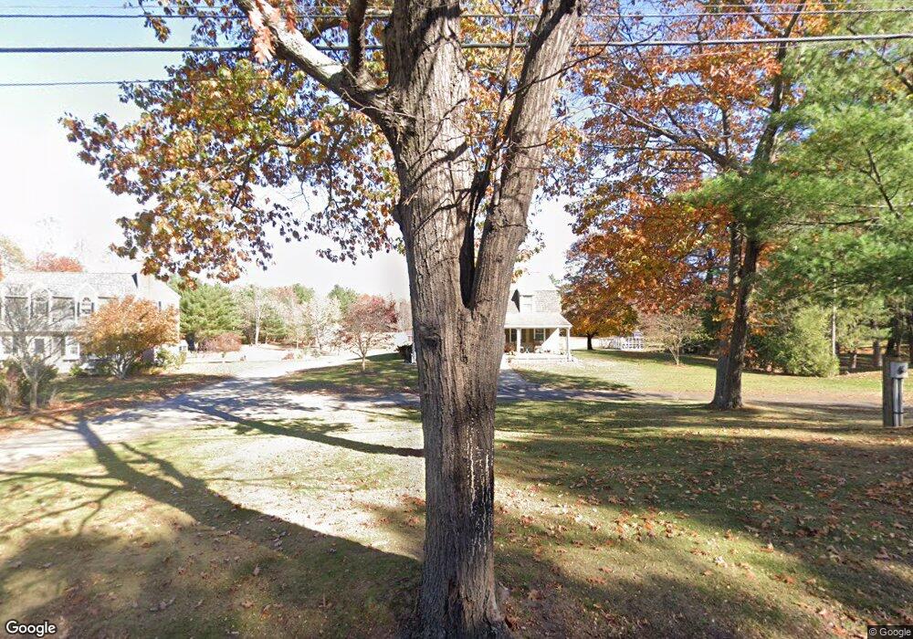
112 Kimball Rd Amesbury, MA 01913
Estimated Value: $757,000 - $897,000
4
Beds
3
Baths
2,388
Sq Ft
$351/Sq Ft
Est. Value
About This Home
This home is located at 112 Kimball Rd, Amesbury, MA 01913 and is currently estimated at $839,184, approximately $351 per square foot. 112 Kimball Rd is a home located in Essex County with nearby schools including Amesbury High School and Amesbury Seventh-Day Adventist School.
Ownership History
Date
Name
Owned For
Owner Type
Purchase Details
Closed on
Oct 23, 2019
Sold by
Gonthier Nancy J
Bought by
Kimball Road T
Current Estimated Value
Create a Home Valuation Report for This Property
The Home Valuation Report is an in-depth analysis detailing your home's value as well as a comparison with similar homes in the area
Home Values in the Area
Average Home Value in this Area
Purchase History
| Date | Buyer | Sale Price | Title Company |
|---|---|---|---|
| Kimball Road T | -- | -- |
Source: Public Records
Tax History Compared to Growth
Tax History
| Year | Tax Paid | Tax Assessment Tax Assessment Total Assessment is a certain percentage of the fair market value that is determined by local assessors to be the total taxable value of land and additions on the property. | Land | Improvement |
|---|---|---|---|---|
| 2025 | $11,854 | $774,800 | $346,500 | $428,300 |
| 2024 | $11,649 | $744,800 | $330,000 | $414,800 |
| 2023 | $10,730 | $656,700 | $287,200 | $369,500 |
| 2022 | $10,442 | $590,300 | $256,300 | $334,000 |
| 2021 | $9,871 | $540,900 | $209,300 | $331,600 |
| 2020 | $8,946 | $520,700 | $203,200 | $317,500 |
| 2019 | $9,200 | $500,800 | $203,200 | $297,600 |
| 2018 | $8,922 | $469,800 | $193,400 | $276,400 |
| 2017 | $9,205 | $461,400 | $193,400 | $268,000 |
| 2016 | $9,227 | $455,000 | $193,400 | $261,600 |
| 2015 | $9,120 | $444,000 | $193,400 | $250,600 |
| 2014 | $9,864 | $470,400 | $193,400 | $277,000 |
Source: Public Records
Map
Nearby Homes
- 1 Tuxbury Ln
- 152 Kimball Rd
- 4 Acadia Kimball Rd
- 1 Acadia Kimball Rd Unit 1
- 3 Greystone Rd
- 20 Hillside Ct
- 1 Bisson Ln
- 160 Haverhill Rd
- 44 Pamela Ln
- 188 Lions Mouth Rd
- 20 Mason Ct
- 10 Sharon Cir
- 10 Mason Ct Unit 10
- 5 Moncrief St Unit 5
- 3 B St
- 6 B St
- 16 Glen Devin St
- 61 E Main St
- 22 Jewell St
- 21 Currier St