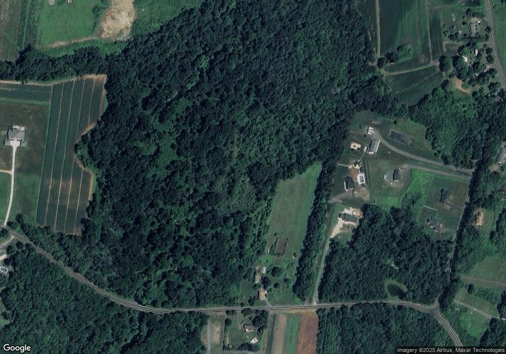
112 King Rd Somers, CT 06071
Estimated Value: $397,000 - $491,089
3
Beds
2
Baths
1,873
Sq Ft
$238/Sq Ft
Est. Value
About This Home
This home is located at 112 King Rd, Somers, CT 06071 and is currently estimated at $446,272, approximately $238 per square foot. 112 King Rd is a home located in Tolland County with nearby schools including Somers Elementary School, Mabelle B. Avery Middle School, and Somers High School.
Ownership History
Date
Name
Owned For
Owner Type
Purchase Details
Closed on
Sep 4, 1979
Bought by
Mccray Robert L and Mccray Margaret D
Current Estimated Value
Create a Home Valuation Report for This Property
The Home Valuation Report is an in-depth analysis detailing your home's value as well as a comparison with similar homes in the area
Home Values in the Area
Average Home Value in this Area
Purchase History
| Date | Buyer | Sale Price | Title Company |
|---|---|---|---|
| Mccray Robert L | $59,000 | -- |
Source: Public Records
Mortgage History
| Date | Status | Borrower | Loan Amount |
|---|---|---|---|
| Closed | Mccray Robert L | $125,000 |
Source: Public Records
Tax History Compared to Growth
Tax History
| Year | Tax Paid | Tax Assessment Tax Assessment Total Assessment is a certain percentage of the fair market value that is determined by local assessors to be the total taxable value of land and additions on the property. | Land | Improvement |
|---|---|---|---|---|
| 2025 | $6,921 | $229,100 | $144,900 | $84,200 |
| 2024 | $6,635 | $229,100 | $144,900 | $84,200 |
| 2023 | $6,486 | $229,100 | $144,900 | $84,200 |
| 2022 | $6,314 | $229,100 | $144,900 | $84,200 |
| 2021 | $2,860 | $229,100 | $144,900 | $84,200 |
| 2020 | $6,243 | $228,100 | $144,900 | $83,200 |
| 2019 | $6,336 | $231,500 | $153,500 | $78,000 |
| 2018 | $6,336 | $231,500 | $153,500 | $78,000 |
| 2017 | $5,896 | $231,500 | $153,500 | $78,000 |
| 2016 | $5,607 | $231,500 | $153,500 | $78,000 |
| 2015 | $5,824 | $249,200 | $161,100 | $88,100 |
| 2014 | $5,824 | $249,200 | $161,100 | $88,100 |
Source: Public Records
Map
Nearby Homes
- 23 Hampden Rd
- 144 Watchaug Rd
- 49 Stafford Rd
- 35 Cantlewood Dr
- 63 Rose Haven Rd
- 200 Hampden Rd
- 175 Stafford Rd
- 169 Stafford Rd
- 557 Hall Hill Rd
- 49 Bridle Path Dr
- 603 Hall Hill Rd
- 64 Potash Hill Ln
- 190 Root Rd
- 64 Bradfield Dr
- 35 Therese Dr
- 41 Martin Farms Rd
- 50 Martin Farms Rd
- 17 Long Hill Dr
- 12 & 16 Haas Rd
- 21 Parson Rd