112 Ledge Dr Beaver Cove, ME 04441
Estimated Value: $593,000 - $604,000
3
Beds
2
Baths
1,500
Sq Ft
$399/Sq Ft
Est. Value
About This Home
This home is located at 112 Ledge Dr, Beaver Cove, ME 04441 and is currently estimated at $598,678, approximately $399 per square foot. 112 Ledge Dr is a home located in Piscataquis County.
Ownership History
Date
Name
Owned For
Owner Type
Purchase Details
Closed on
Feb 28, 2022
Sold by
Dufour Carol
Bought by
Beane Lawrence W and Beane Deanne T
Current Estimated Value
Home Financials for this Owner
Home Financials are based on the most recent Mortgage that was taken out on this home.
Original Mortgage
$256,000
Outstanding Balance
$240,408
Interest Rate
3.55%
Mortgage Type
Purchase Money Mortgage
Estimated Equity
$198,952
Purchase Details
Closed on
Oct 26, 2010
Sold by
Brown Orrin J and Brown Joan L
Bought by
Higgins Scott D and Higgins Carol L
Home Financials for this Owner
Home Financials are based on the most recent Mortgage that was taken out on this home.
Original Mortgage
$156,750
Interest Rate
4.37%
Mortgage Type
FHA
Create a Home Valuation Report for This Property
The Home Valuation Report is an in-depth analysis detailing your home's value as well as a comparison with similar homes in the area
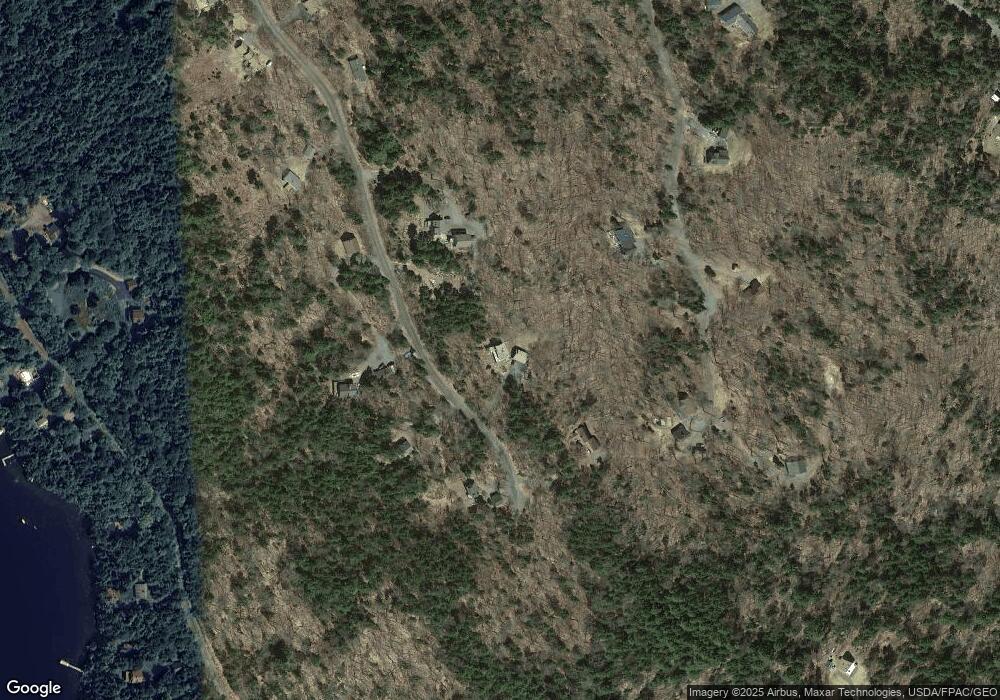
Home Values in the Area
Average Home Value in this Area
Purchase History
Date | Buyer | Sale Price | Title Company |
---|---|---|---|
Beane Lawrence W | $315,000 | None Available | |
Higgins Scott D | -- | -- |
Source: Public Records
Mortgage History
Date | Status | Borrower | Loan Amount |
---|---|---|---|
Open | Beane Lawrence W | $256,000 | |
Previous Owner | Higgins Scott D | $156,750 |
Source: Public Records
Tax History Compared to Growth
Tax History
Year | Tax Paid | Tax Assessment Tax Assessment Total Assessment is a certain percentage of the fair market value that is determined by local assessors to be the total taxable value of land and additions on the property. | Land | Improvement |
---|---|---|---|---|
2023 | $1,546 | $372,600 | $98,100 | $274,500 |
2022 | $1,590 | $265,000 | $81,700 | $183,300 |
2021 | $1,590 | $265,000 | $81,700 | $183,300 |
2020 | $1,633 | $226,800 | $74,500 | $152,300 |
2018 | $1,610 | $226,800 | $74,500 | $152,300 |
2017 | $1,678 | $226,800 | $74,500 | $152,300 |
2016 | $1,701 | $226,800 | $74,500 | $152,300 |
2015 | $1,615 | $226,800 | $74,500 | $152,300 |
2014 | $1,610 | $226,800 | $74,500 | $152,300 |
2013 | $1,667 | $226,800 | $74,500 | $152,300 |
Source: Public Records
Map
Nearby Homes
- 112 Ledge Rd
- 418 Black Point Rd
- Lot 254-3 Westwind Ln
- 684 Black Point Rd
- 10 Virginia Trail
- 9A Hawksholm Trail
- 12A 1 Bay View Dr
- 32 N Mud Cove S
- 33 Bay View Dr
- 260 Allagash Rd
- 13 S Lucy Way
- Lot 3 Hilltop Dr
- 74 Hilltop Dr
- 412 Lily Bay Rd
- Lot 15A-2 Scammon Rd
- 8 Ridge Pkwy
- 7 Ridge Pkwy
- 6 Ridge Pkwy
- 61 Sawyer Pond Rd
- 50 Halls Ave
- 112 Ledge Dr
- 101 Ledge Rd
- 120 Ledge Dr
- 107 Ledge Dr
- 39 N Hemlock Ln
- 51 Hemlock Rd
- 0 Ledge Rd Unit 665401
- 0 Ledge Rd Unit 1457043
- 0 Ledge Rd Unit 1472264
- 0 Ledge Rd Unit 1472310
- 50 N Hemlock Ln
- 26 N Hemlock Ln
- 77 Ledge Dr
- 11 Blackpoint Rd
- Lot 33 Ledge Rd
- 339 Black Point Rd
- Lot 11 Black Point Rd
- L33 Ledge Rd
- 53 Ledge Dr
- 170 N Ridge Rd