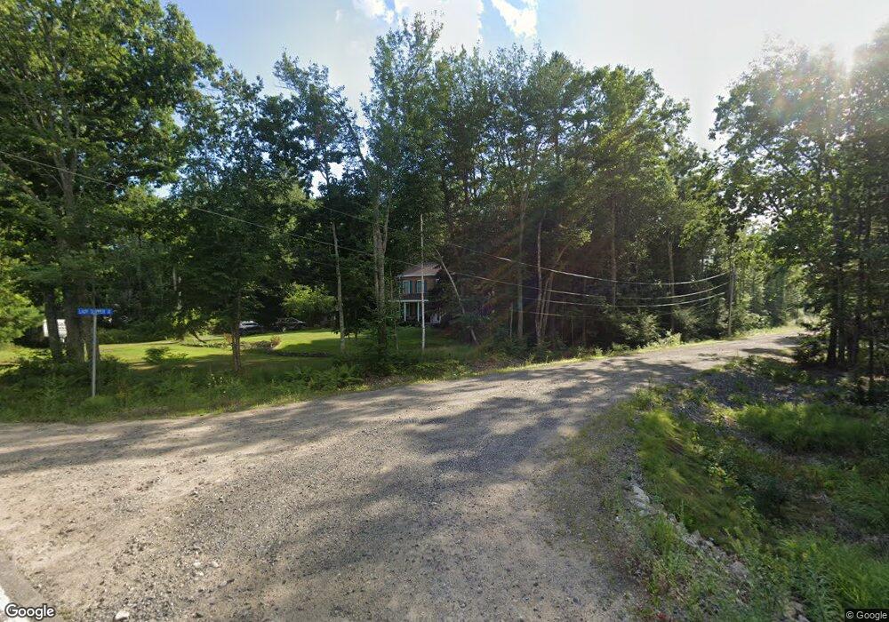
112 Log Cabin Rd Arundel, ME 04046
Estimated Value: $702,000 - $902,000
3
Beds
3
Baths
3,050
Sq Ft
$259/Sq Ft
Est. Value
About This Home
This home is located at 112 Log Cabin Rd, Arundel, ME 04046 and is currently estimated at $790,947, approximately $259 per square foot. 112 Log Cabin Rd is a home located in York County with nearby schools including Kennebunk High School and School Around Us.
Ownership History
Date
Name
Owned For
Owner Type
Purchase Details
Closed on
Aug 23, 2021
Sold by
Wholey John J and Wholey Catherine A
Bought by
Wholey 2021 Ft
Current Estimated Value
Home Financials for this Owner
Home Financials are based on the most recent Mortgage that was taken out on this home.
Original Mortgage
$415,000
Interest Rate
2.86%
Mortgage Type
Purchase Money Mortgage
Purchase Details
Closed on
Feb 23, 2021
Sold by
Wholey John J and Wholey Catherine A
Bought by
Wholey Ft
Create a Home Valuation Report for This Property
The Home Valuation Report is an in-depth analysis detailing your home's value as well as a comparison with similar homes in the area
Home Values in the Area
Average Home Value in this Area
Purchase History
| Date | Buyer | Sale Price | Title Company |
|---|---|---|---|
| Wholey 2021 Ft | -- | None Available | |
| Wholey John J | -- | None Available | |
| Wholey Ft | -- | None Available |
Source: Public Records
Mortgage History
| Date | Status | Borrower | Loan Amount |
|---|---|---|---|
| Previous Owner | Wholey John J | $415,000 |
Source: Public Records
Tax History Compared to Growth
Tax History
| Year | Tax Paid | Tax Assessment Tax Assessment Total Assessment is a certain percentage of the fair market value that is determined by local assessors to be the total taxable value of land and additions on the property. | Land | Improvement |
|---|---|---|---|---|
| 2024 | $5,195 | $305,600 | $45,600 | $260,000 |
| 2023 | $5,195 | $305,600 | $45,600 | $260,000 |
| 2022 | $5,165 | $305,600 | $45,600 | $260,000 |
| 2021 | $5,165 | $305,600 | $45,600 | $260,000 |
| 2020 | $4,623 | $298,300 | $45,600 | $252,700 |
| 2019 | $4,862 | $298,300 | $45,600 | $252,700 |
| 2018 | $4,749 | $298,300 | $45,600 | $252,700 |
| 2017 | $4,624 | $298,300 | $45,600 | $252,700 |
| 2016 | $4,510 | $298,300 | $45,600 | $252,700 |
| 2015 | $4,460 | $298,300 | $45,600 | $252,700 |
| 2014 | $4,325 | $298,300 | $45,600 | $252,700 |
| 2013 | $4,325 | $298,300 | $45,600 | $252,700 |
Source: Public Records
Map
Nearby Homes
- 106 Log Cabin Rd
- 8 Ladysliper Ln
- 83 Log Cabin Rd
- 16 Ladysliper Ln
- 104 Log Cabin Rd
- 117 Log Cabin Rd
- 97 Log Cabin Rd
- 100 Log Cabin Rd
- 115 Log Cabin Rd
- 24 Lady Slipper Ln
- 98 Log Cabin Rd
- 123 Log Cabin Rd
- 128 Log Cabin Rd
- 95 Log Cabin Rd
- 127 Log Cabin Rd
- 90 Log Cabin Rd
- 94 Log Cabin Rd
- 129 Log Cabin Rd
- 20 Fairfield Hill Rd
- 00 Tuckers Way