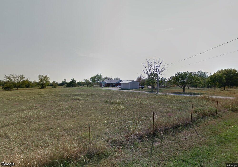
112 Maggies Place Shawnee, OK 74801
Estimated Value: $198,000 - $267,000
3
Beds
2
Baths
1,540
Sq Ft
$147/Sq Ft
Est. Value
About This Home
This home is located at 112 Maggies Place, Shawnee, OK 74801 and is currently estimated at $226,000, approximately $146 per square foot. 112 Maggies Place is a home located in Pottawatomie County with nearby schools including Jefferson Elementary School, Shawnee Middle School, and Shawnee High School.
Ownership History
Date
Name
Owned For
Owner Type
Purchase Details
Closed on
Jan 19, 2018
Sold by
Citizen Potawatomi Nation
Bought by
United States Of America
Current Estimated Value
Purchase Details
Closed on
Mar 13, 2014
Sold by
Lpp Mortgage Ltd
Bought by
Citizen Potawatomi Nation
Purchase Details
Closed on
Dec 3, 2013
Sold by
Zientek Timothy Joseph and Citizen Potawatomi Nation Hous
Bought by
Lpp Mortgage Ltd
Purchase Details
Closed on
Oct 14, 1995
Sold by
Zientek Timothy
Bought by
Zientek Julian and Zientek Delia
Create a Home Valuation Report for This Property
The Home Valuation Report is an in-depth analysis detailing your home's value as well as a comparison with similar homes in the area
Home Values in the Area
Average Home Value in this Area
Purchase History
| Date | Buyer | Sale Price | Title Company |
|---|---|---|---|
| United States Of America | -- | None Available | |
| Citizen Potawatomi Nation | $125,500 | Oklahoma Reo Closing & Title | |
| Lpp Mortgage Ltd | -- | None Available | |
| Zientek Julian | -- | -- |
Source: Public Records
Tax History Compared to Growth
Tax History
| Year | Tax Paid | Tax Assessment Tax Assessment Total Assessment is a certain percentage of the fair market value that is determined by local assessors to be the total taxable value of land and additions on the property. | Land | Improvement |
|---|---|---|---|---|
| 2025 | -- | -- | -- | -- |
| 2024 | -- | -- | -- | -- |
| 2023 | -- | -- | -- | -- |
| 2022 | $0 | $0 | $0 | $0 |
| 2021 | $0 | $0 | $0 | $0 |
| 2020 | $0 | $0 | $0 | $0 |
| 2019 | $296 | $0 | $0 | $0 |
| 2018 | $296 | $2,894 | $284 | $2,610 |
| 2017 | $1,669 | $16,538 | $1,619 | $14,919 |
| 2016 | $1,607 | $15,750 | $1,453 | $14,297 |
| 2015 | $1,500 | $15,000 | $1,440 | $13,560 |
| 2014 | $963 | $9,629 | $1,014 | $8,615 |
Source: Public Records
Map
Nearby Homes
- 19402 Rangeline Rd
- 000 Gordon Cooper Dr
- 0 Rd Unit 1180426
- 19901 Prairieview Rd
- 19910 Gordon Cooper Dr
- 19903 Prairieview Rd
- 00 Gordon Cooper 12 56 Acres Dr
- 19705 Harrison Rd
- 627 W Hayes St
- 803 S Bell Ave
- 42601 Stout Dr
- 1100 Foggy Bottom Rd
- 31902 Hardesty Rd
- 1011 N Rangeline St
- 521 S Louisa Ave
- 628 S Philadelphia Ave
- 00 Sharon South 24 3 Acres Rd
- 00 Sharon North 24 3 Acres Rd
- 18709 N Sharon Rd
- 19301 Sharon Rd
- 106 Maggies Place
- 111 Maggies Place
- 18720 Rangeline
- 0 Rangeline & 67th St Unit 21108043
- 115 Maggies Place
- 18808 Rangeline
- 18902 Rangeline
- 18901 Rangeline
- 18904 Rangeline
- 18603 Marys Rd
- 40908 Benson Park Rd
- 41000 Benson Park Rd
- 41002 Benson Park Rd
- 41008 Benson Park Rd
- 41003 Benson Park Rd
- 41001 Benson Park Rd
- 19004 Rangeline
- 18601 Marys Rd
- 4333 Skyview
- 1900 Gordon Cooper Dr