112 Michael Ln Onalaska, WA 98570
Estimated Value: $549,000 - $573,000
3
Beds
2
Baths
1,884
Sq Ft
$297/Sq Ft
Est. Value
About This Home
This home is located at 112 Michael Ln, Onalaska, WA 98570 and is currently estimated at $559,287, approximately $296 per square foot. 112 Michael Ln is a home located in Lewis County with nearby schools including Onalaska Elementary School and Onalaska High School.
Ownership History
Date
Name
Owned For
Owner Type
Purchase Details
Closed on
Jul 26, 2006
Sold by
Halvessen Lindy Sue
Bought by
Halvorsen Lenard
Current Estimated Value
Purchase Details
Closed on
Sep 9, 2005
Sold by
Worden David E and Worden Annette W
Bought by
Halvorsen Lenard and Halvorsen Liny Sue
Purchase Details
Closed on
Sep 1, 2005
Sold by
Worden David E and Worden Annette W
Bought by
Halvorsen Lenard and Halvorsen Lindy Sue
Create a Home Valuation Report for This Property
The Home Valuation Report is an in-depth analysis detailing your home's value as well as a comparison with similar homes in the area
Purchase History
| Date | Buyer | Sale Price | Title Company |
|---|---|---|---|
| Halvorsen Lenard | -- | None Available | |
| Halvorsen Lenard | -- | None Available | |
| Halvorsen Lenard | -- | None Available | |
| Halvorsen Lenard | -- | None Available | |
| Halvorsen Lenard | -- | None Available |
Source: Public Records
Tax History
| Year | Tax Paid | Tax Assessment Tax Assessment Total Assessment is a certain percentage of the fair market value that is determined by local assessors to be the total taxable value of land and additions on the property. | Land | Improvement |
|---|---|---|---|---|
| 2024 | $3,292 | $521,200 | $121,500 | $399,700 |
| 2023 | $3,292 | $502,400 | $89,500 | $412,900 |
| 2022 | $2,891 | $378,400 | $70,900 | $307,500 |
| 2021 | $2,870 | $378,400 | $70,900 | $307,500 |
| 2020 | $2,889 | $333,500 | $59,100 | $274,400 |
| 2019 | $2,575 | $314,200 | $59,100 | $255,100 |
| 2018 | $2,386 | $275,600 | $51,800 | $223,800 |
| 2017 | $2,191 | $231,800 | $52,100 | $179,700 |
Source: Public Records
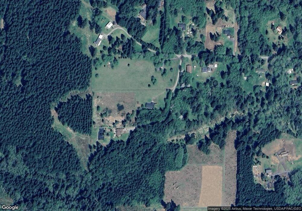
Map
Nearby Homes
- 148 Burnt Ridge Rd
- 378 Burnt Ridge Rd
- 236 Tryon Rd
- 140 Vetter Ln
- 104 Bills Ln
- 997 Burnt Ridge Rd
- 563 Shanklin Rd
- 0 State Hwy 508 Unit NWM2441941
- 409 Shanklin Rd
- 3356 State Highway 508
- 371 Pigeon Springs Rd
- 0 View Ridge Rd Unit NWM2434545
- 0 Shanklin Rd Unit NWM2414157
- 132 Quiet Acres Dr
- 132 Salem Plant Rd
- 260 Stowell Rd
- 115 Cinebar Rd
- 232 Stowell Rd
- 109 View Point Dr
- 4311 State 508
- 131 Michael Ln
- 167 Tillie Rd
- 174 Tillie Rd
- 201 Tillie Rd
- 101 Willie Ln
- 0 L4 Tillie Rd
- 0 Willie Ln
- 134 Tillie Rd
- 591 Burnt Ridge Rd
- 136 Willie Ln
- 110 Tillie Rd
- 266 Smokey Rdg Rd
- 266 Smokey Rdg Rd
- 266 Smokey Ridge
- 109 Tillie Rd
- 631 Burnt Ridge Rd
- 649 Burnt Ridge Rd
- 489 Burnt Ridge Rd
- 582 Burnt Ridge Rd
- 663 Burnt Ridge Rd