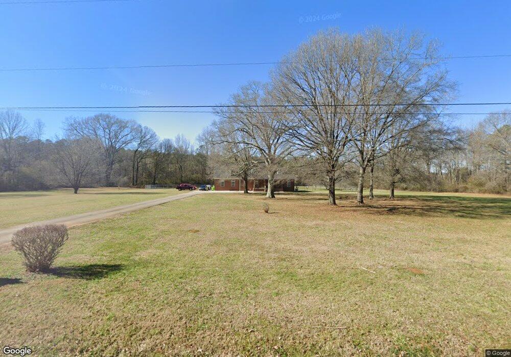
112 Mississippi Dr Cedartown, GA 30125
Estimated Value: $364,000 - $645,060
3
Beds
4
Baths
2,575
Sq Ft
$186/Sq Ft
Est. Value
About This Home
This home is located at 112 Mississippi Dr, Cedartown, GA 30125 and is currently estimated at $478,515, approximately $185 per square foot. 112 Mississippi Dr is a home located in Polk County with nearby schools including Cedar Christian School.
Ownership History
Date
Name
Owned For
Owner Type
Purchase Details
Closed on
Sep 28, 2018
Sold by
Bank Of America Na
Bought by
Thornberry Donald
Current Estimated Value
Purchase Details
Closed on
Sep 27, 2018
Sold by
Thornberry Donald
Bought by
Thornberry Donald and Thornberry Debbie L
Purchase Details
Closed on
Nov 7, 2017
Sold by
Easterwood Gary D
Bought by
Bank Of America Na and C/O Bac Home Loans Servicing L
Purchase Details
Closed on
Jun 7, 1991
Sold by
Moore David J
Bought by
Easterwood Gary D
Purchase Details
Closed on
Nov 3, 1955
Bought by
Moore David Jackson
Create a Home Valuation Report for This Property
The Home Valuation Report is an in-depth analysis detailing your home's value as well as a comparison with similar homes in the area
Home Values in the Area
Average Home Value in this Area
Purchase History
| Date | Buyer | Sale Price | Title Company |
|---|---|---|---|
| Thornberry Donald | $91,500 | -- | |
| Thornberry Donald | -- | -- | |
| Bank Of America Na | $177,300 | -- | |
| Easterwood Gary D | $10,500 | -- | |
| Moore David Jackson | -- | -- |
Source: Public Records
Tax History Compared to Growth
Tax History
| Year | Tax Paid | Tax Assessment Tax Assessment Total Assessment is a certain percentage of the fair market value that is determined by local assessors to be the total taxable value of land and additions on the property. | Land | Improvement |
|---|---|---|---|---|
| 2024 | $4,549 | $232,341 | $25,016 | $207,325 |
| 2023 | $3,456 | $159,035 | $25,016 | $134,019 |
| 2022 | $2,823 | $132,341 | $16,677 | $115,664 |
| 2021 | $3,181 | $132,341 | $16,677 | $115,664 |
| 2020 | $1,887 | $91,724 | $16,677 | $75,047 |
| 2019 | $983 | $85,172 | $16,677 | $68,495 |
| 2018 | $2,202 | $79,930 | $16,677 | $63,253 |
| 2017 | $1,808 | $79,930 | $16,677 | $63,253 |
| 2016 | $2,291 | $86,184 | $26,789 | $59,395 |
| 2015 | $2,313 | $86,730 | $26,789 | $59,941 |
| 2014 | $2,330 | $86,730 | $26,789 | $59,941 |
Source: Public Records
Map
Nearby Homes
- 255 Reynolds Rd
- 382 5th St
- 119 New Harmony Rd
- 293 4th St
- 0 Mountain Home Rd Unit 1020-C 10351948
- 0 Mountain Home Rd Unit 1020-B 10351940
- 0 Mountain Home Rd Unit 1020-A 10351930
- 323 Mountain Home Rd
- 151 Friendship Rd
- 516 Branch St
- 512 Branch St
- 508 Branch St
- 2460 Hidden Creek Rd
- 309 Walnut St
- 325 Fairview Ave
- 605 W Girard Ave
- 0 Old Esom Hill Loop Unit 7654342
- 0 Old Esom Hill Loop Unit 10611077
- 427 Wissahickon Ave
- 43 Mississippi Dr
- 116 Mississippi Dr
- 35 Mississippi Dr
- 435 Prior Station Rd
- 127 Mississippi Dr
- 447 Prior Station Rd
- 447 Prior Station Rd
- 10 Mississippi Dr
- 10 Mississippi Dr
- 10 Mississippi Dr
- 417 Prior Station Rd
- 411 Prior Station Rd
- 401 Prior Station Rd
- 383 Prior Station Rd
- 0 Mississippi Dr Unit 7415900
- 0 Mississippi Dr Unit 2814287
- 0 Mississippi Dr Unit 7016640
- 0 Mississippi Dr Unit 2670325
- 355 Prior Station Rd
- 374 Prior Station Rd