112 Montgomery Ave Conway, MO 65632
Estimated Value: $96,133 - $252,000
2
Beds
--
Bath
1,539
Sq Ft
$103/Sq Ft
Est. Value
About This Home
This home is located at 112 Montgomery Ave, Conway, MO 65632 and is currently estimated at $158,533, approximately $103 per square foot. 112 Montgomery Ave is a home with nearby schools including Ezard Elementary School and Conway High Schools.
Ownership History
Date
Name
Owned For
Owner Type
Purchase Details
Closed on
Mar 26, 2013
Sold by
Ireton Heather and Ireton Steve
Bought by
Burnette Shawn and Burnette Erin
Current Estimated Value
Home Financials for this Owner
Home Financials are based on the most recent Mortgage that was taken out on this home.
Original Mortgage
$30,675
Outstanding Balance
$21,799
Interest Rate
3.62%
Mortgage Type
Future Advance Clause Open End Mortgage
Estimated Equity
$136,734
Create a Home Valuation Report for This Property
The Home Valuation Report is an in-depth analysis detailing your home's value as well as a comparison with similar homes in the area
Home Values in the Area
Average Home Value in this Area
Purchase History
| Date | Buyer | Sale Price | Title Company |
|---|---|---|---|
| Burnette Shawn | -- | None Available |
Source: Public Records
Mortgage History
| Date | Status | Borrower | Loan Amount |
|---|---|---|---|
| Open | Burnette Shawn | $30,675 |
Source: Public Records
Tax History Compared to Growth
Tax History
| Year | Tax Paid | Tax Assessment Tax Assessment Total Assessment is a certain percentage of the fair market value that is determined by local assessors to be the total taxable value of land and additions on the property. | Land | Improvement |
|---|---|---|---|---|
| 2025 | $434 | $10,360 | $0 | $0 |
| 2024 | $434 | $9,480 | $0 | $0 |
| 2023 | $445 | $9,480 | $0 | $0 |
| 2022 | $275 | $6,290 | $0 | $0 |
| 2021 | $295 | $6,289 | $190 | $6,099 |
| 2020 | $298 | $6,289 | $190 | $6,099 |
| 2019 | $301 | $6,290 | $190 | $6,100 |
| 2018 | $297 | $6,290 | $190 | $6,100 |
| 2017 | $269 | $6,290 | $0 | $0 |
| 2016 | $269 | $6,290 | $0 | $0 |
| 2015 | $269 | $6,290 | $0 | $0 |
| 2014 | $269 | $6,290 | $0 | $0 |
| 2013 | -- | $6,290 | $0 | $0 |
Source: Public Records
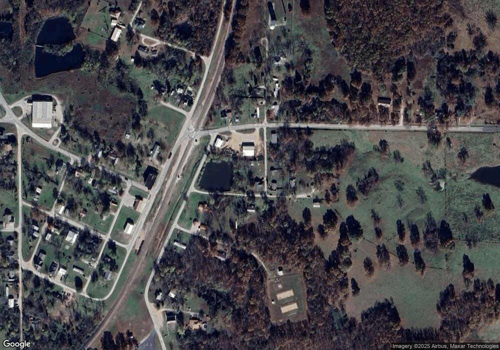
Map
Nearby Homes
- 000 W Pine St
- TBD W Pine St
- TBD Jackson Ave
- 120 W Main St
- Tract 10 Nikon Dr
- 15494 Amethyst Rd
- 15841 Nickel Dr
- 13449 B Highway J
- 13449 Highway J
- Tbd Athens Rd
- 107 W Ruby St
- 411 W Nelson
- 0 Donovan Rd
- 103 S Main St
- 11012 Mohawk Dr
- 211 S Boyd St
- 420 E Beal St
- 450 S Commercial St
- 18007 Norton Dr
- 000 Oak St