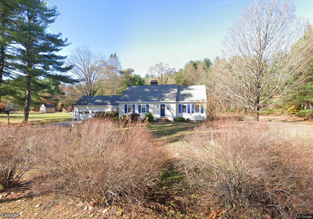
112 Moore Rd Sudbury, MA 01776
Estimated Value: $1,025,000 - $1,174,000
4
Beds
2
Baths
3,087
Sq Ft
$354/Sq Ft
Est. Value
About This Home
This home is located at 112 Moore Rd, Sudbury, MA 01776 and is currently estimated at $1,091,441, approximately $353 per square foot. 112 Moore Rd is a home located in Middlesex County with nearby schools including Peter Noyes Elementary School, Ephraim Curtis Middle School, and Lincoln-Sudbury Regional High School.
Ownership History
Date
Name
Owned For
Owner Type
Purchase Details
Closed on
May 31, 2002
Sold by
Howell William R and Howell Nina M
Bought by
Janigian Warren M and Janigian Charlotte K
Current Estimated Value
Home Financials for this Owner
Home Financials are based on the most recent Mortgage that was taken out on this home.
Original Mortgage
$350,000
Interest Rate
7%
Mortgage Type
Purchase Money Mortgage
Purchase Details
Closed on
Jan 26, 2000
Sold by
Eriss Lawrence and Eriss Barbara
Bought by
Howell William R and Howell Nina M
Purchase Details
Closed on
Jan 26, 1999
Sold by
Eriss Lawrence and Eriss Barbara
Bought by
Howell William R and Howell Nina M
Create a Home Valuation Report for This Property
The Home Valuation Report is an in-depth analysis detailing your home's value as well as a comparison with similar homes in the area
Home Values in the Area
Average Home Value in this Area
Purchase History
| Date | Buyer | Sale Price | Title Company |
|---|---|---|---|
| Janigian Warren M | $528,000 | -- | |
| Howell William R | $339,000 | -- | |
| Howell William R | $339,000 | -- |
Source: Public Records
Mortgage History
| Date | Status | Borrower | Loan Amount |
|---|---|---|---|
| Open | Howell William R | $303,000 | |
| Closed | Janigian Warren M | $350,000 |
Source: Public Records
Tax History
| Year | Tax Paid | Tax Assessment Tax Assessment Total Assessment is a certain percentage of the fair market value that is determined by local assessors to be the total taxable value of land and additions on the property. | Land | Improvement |
|---|---|---|---|---|
| 2025 | $12,889 | $880,400 | $447,800 | $432,600 |
| 2024 | $12,424 | $850,400 | $435,000 | $415,400 |
| 2023 | $12,737 | $807,700 | $403,400 | $404,300 |
| 2022 | $12,400 | $687,000 | $371,000 | $316,000 |
| 2021 | $11,852 | $629,400 | $371,000 | $258,400 |
| 2020 | $11,612 | $629,400 | $371,000 | $258,400 |
| 2019 | $10,058 | $561,600 | $371,000 | $190,600 |
| 2018 | $10,267 | $572,600 | $395,000 | $177,600 |
| 2017 | $9,626 | $542,600 | $376,200 | $166,400 |
| 2016 | $9,276 | $521,100 | $362,200 | $158,900 |
| 2015 | $8,899 | $505,600 | $348,600 | $157,000 |
| 2014 | $8,869 | $491,900 | $338,600 | $153,300 |
Source: Public Records
Map
Nearby Homes
- 21 Summer St
- 557 Dutton Rd Unit 2
- 15 Harness Ln
- 30 Harness Ln
- 30 Kendall Rd
- 45 Webster Cir
- 62 Churchill St
- 788 Main St
- 30 Rolling Ln
- 786 Main St
- 123 Dutton Rd
- 8 Shoreline Dr Unit 11
- 14 Old County Rd Unit 21
- 3 Shore Line Dr Unit 15
- 10 Old County Rd Unit 19
- 1 Town Line Rd
- 1 Town Line Rd Unit 18
- 34 Hallock Point Rd
- 54 Stone Rd
- 8 Town Line Rd Unit 4
Your Personal Tour Guide
Ask me questions while you tour the home.