Estimated Value: $146,511
--
Bed
--
Bath
2,250
Sq Ft
$65/Sq Ft
Est. Value
About This Home
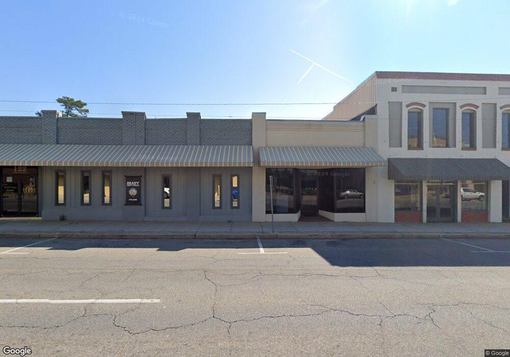
This home is located at 112 N Broad St, Cairo, GA 39828 and is currently estimated at $146,511, approximately $65 per square foot. 112 N Broad St is a home located in Grady County with nearby schools including Cairo High School.
Ownership History
Date
Name
Owned For
Owner Type
Purchase Details
Closed on
May 7, 2025
Sold by
Grady County Board Of Education
Bought by
Leeks Brittany Jeanette
Current Estimated Value
Home Financials for this Owner
Home Financials are based on the most recent Mortgage that was taken out on this home.
Original Mortgage
$150,589
Outstanding Balance
$131,414
Interest Rate
6.62%
Mortgage Type
New Conventional
Estimated Equity
$15,097
Purchase Details
Closed on
Jun 1, 2021
Sold by
Calvary Corp
Bought by
Grady County Board Of Education
Purchase Details
Closed on
May 24, 2007
Sold by
Jones Charles M
Bought by
The Calvary Corp
Purchase Details
Closed on
Aug 22, 1978
Bought by
Consolidated Loan Co
Create a Home Valuation Report for This Property
The Home Valuation Report is an in-depth analysis detailing your home's value as well as a comparison with similar homes in the area
Home Values in the Area
Average Home Value in this Area
Purchase History
| Date | Buyer | Sale Price | Title Company |
|---|---|---|---|
| Leeks Brittany Jeanette | $148,000 | -- | |
| Grady County Board Of Education | $110,000 | -- | |
| The Calvary Corp | $36,000 | -- | |
| Consolidated Loan Co | -- | -- |
Source: Public Records
Mortgage History
| Date | Status | Borrower | Loan Amount |
|---|---|---|---|
| Open | Leeks Brittany Jeanette | $150,589 |
Source: Public Records
Tax History Compared to Growth
Tax History
| Year | Tax Paid | Tax Assessment Tax Assessment Total Assessment is a certain percentage of the fair market value that is determined by local assessors to be the total taxable value of land and additions on the property. | Land | Improvement |
|---|---|---|---|---|
| 2024 | -- | $19,416 | $3,052 | $16,364 |
| 2023 | $0 | $17,214 | $2,952 | $14,262 |
| 2022 | $617 | $17,214 | $2,952 | $14,262 |
| 2021 | $665 | $17,214 | $2,952 | $14,262 |
| 2020 | $666 | $17,214 | $2,952 | $14,262 |
| 2019 | $666 | $17,214 | $2,952 | $14,262 |
| 2018 | $633 | $17,214 | $2,952 | $14,262 |
| 2017 | $609 | $17,214 | $2,952 | $14,262 |
| 2016 | $623 | $17,214 | $2,952 | $14,262 |
| 2015 | $617 | $17,214 | $2,952 | $14,262 |
| 2014 | $617 | $17,214 | $2,952 | $14,262 |
| 2013 | -- | $17,213 | $2,952 | $14,261 |
Source: Public Records
Map
Nearby Homes
- X 1st St
- 00 Hwy 111 South Tract 1
- 316,322 NW 1st St + Lot
- 0 1st St
- 4761 Hadley Ferry Rd
- 125 6th Ave NW
- 309 3rd St SE
- 00 00 Hwy 111 South Tract 2
- Lot #15, 3 64 Acres Oakbend Cir
- 000 S Broad St
- 000 Hwy 111 South 20 59 Acres
- 40 5th Ave SW
- 117 6th St SW
- 471 4th St SE
- 2975 U S 84
- 220 8th Ave NW
- 481 4th St SE
- 711 2nd Ave NE
- 460 2nd St SW
- 27 6th Ave SW
- 17 1st Ave NE
- 1234 N Not A Street Bend NE
- 8.98 Ac. Holton Ln
- MEADOWBR Meadow Brook Dr
- 2 N Broad St
- 00 1st Ave NE
- 22 1st Ave NE
- 203 N Broad St
- 4 S Broad St
- N Georgia 111
- 80 1st Ave NE
- 2.5ACR Long Leaf Lane (Parcel0094a006001)
- 7 1st Ave SW
- 305 N Broad St
- 124 S Broad St
- 110 1st Ave NE
- 206 1st St NE
- 126 S Broad St
- 0 2nd Ave Unit 298565
- 109 2nd Ave NE