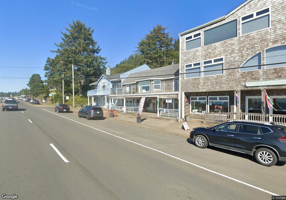
112 N Highway 101 Depoe Bay, OR 97341
Estimated Value: $1,014,330 - $1,046,000
2
Beds
4
Baths
2,856
Sq Ft
$361/Sq Ft
Est. Value
About This Home
This home is located at 112 N Highway 101, Depoe Bay, OR 97341 and is currently estimated at $1,030,165, approximately $360 per square foot. 112 N Highway 101 is a home located in Lincoln County with nearby schools including Taft Elementary School, Oceanlake Elementary School, and Taft High School.
Ownership History
Date
Name
Owned For
Owner Type
Purchase Details
Closed on
Jan 13, 2021
Sold by
Blodgette Karry
Bought by
Daniels Tara and Daniels Mathew
Current Estimated Value
Home Financials for this Owner
Home Financials are based on the most recent Mortgage that was taken out on this home.
Original Mortgage
$521,250
Outstanding Balance
$465,217
Interest Rate
2.71%
Mortgage Type
Commercial
Estimated Equity
$564,948
Purchase Details
Closed on
Sep 15, 2017
Sold by
Dental Gary L
Bought by
Blodgette Karry
Purchase Details
Closed on
Sep 5, 2017
Sold by
Dental Gary L
Bought by
Blodgette Karry
Purchase Details
Closed on
Jul 18, 2016
Sold by
Laverty James M and Laverty Carolyn J
Bought by
Dental Gary L
Create a Home Valuation Report for This Property
The Home Valuation Report is an in-depth analysis detailing your home's value as well as a comparison with similar homes in the area
Home Values in the Area
Average Home Value in this Area
Purchase History
| Date | Buyer | Sale Price | Title Company |
|---|---|---|---|
| Daniels Tara | $695,000 | Western Title & Escrow | |
| Blodgette Karry | $440,000 | Multiple | |
| Blodgette Karry | -- | Fidelity Natl Ttl Co Of Or | |
| Dental Gary L | $400,000 | Western Title & Escrow |
Source: Public Records
Mortgage History
| Date | Status | Borrower | Loan Amount |
|---|---|---|---|
| Open | Daniels Tara | $521,250 | |
| Closed | Blodgette Karry | $0 |
Source: Public Records
Tax History Compared to Growth
Tax History
| Year | Tax Paid | Tax Assessment Tax Assessment Total Assessment is a certain percentage of the fair market value that is determined by local assessors to be the total taxable value of land and additions on the property. | Land | Improvement |
|---|---|---|---|---|
| 2024 | $7,055 | $542,930 | -- | -- |
| 2023 | $6,740 | $527,120 | $0 | $0 |
| 2022 | $6,545 | $511,770 | $0 | $0 |
| 2021 | $6,604 | $496,870 | $0 | $0 |
| 2020 | $6,437 | $482,400 | $0 | $0 |
| 2019 | $6,078 | $468,350 | $0 | $0 |
| 2018 | $5,902 | $454,710 | $0 | $0 |
| 2017 | $5,751 | $441,470 | $0 | $0 |
Source: Public Records
Map
Nearby Homes
- 25 NE Clarke St
- 25 Clarke St
- 34 NE Williams Ave
- 318 U S 101
- 318 N Highway 101
- 315 NE Vista Terrace Ave
- 100 BLK NE Vista Terrace Ave
- 340 NE Vista Terrace Ave
- 100 Blk NE Vista Terrace Lots 3&4
- 340 NE Harbor View Place
- 350 NE Harbor View Place
- 60 SE Cook Ave
- 8900 NE Harbor View Place
- Lot 19 NE Spring Ave
- 140 Bayview Ave
- 0 SE Elsie St
- Lot 5 SE Elsie St
- 7200 NE Sea Star Dr
- 250 SE Coast Guard Dr Unit 2
- 520 NW Spencer Ave
- 112 U S 101 Unit 114
- 112 U S 101 Unit 3
- 112 U S 101
- 116 N Highway 101
- 116 U S 101
- 116 N Highway 101
- TL 3301 Bradford St
- TL 3400 Bradford St
- 20 Bradford St
- TL3600 NE Bradford St
- 104 N Highway 101
- 104 U S 101
- 25 NE Clark St
- 30 Bradford St
- 100 NE Williams Ave Unit 3301
- 100 NE Hwy 101 Tl 3301 and 3400
- 0 Hwy 101 & Sunset
- 45 Clarke St
- 45 NE Clarke St
- 70 U S 101