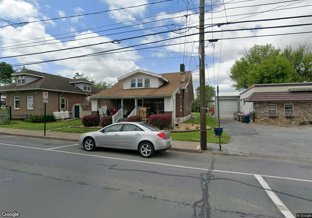
112 N Main St Alburtis, PA 18011
Lower Macungie Township West NeighborhoodEstimated Value: $316,000 - $371,000
3
Beds
1
Bath
1,878
Sq Ft
$182/Sq Ft
Est. Value
About This Home
This home is located at 112 N Main St, Alburtis, PA 18011 and is currently estimated at $341,077, approximately $181 per square foot. 112 N Main St is a home located in Lehigh County with nearby schools including Alburtis Elementary School, Lower Macungie Middle School, and Emmaus High School.
Ownership History
Date
Name
Owned For
Owner Type
Purchase Details
Closed on
Oct 22, 1999
Sold by
Kells Michael D and Kells Judy Ann
Bought by
Shook Barry L and Shook Ii Barry L
Current Estimated Value
Purchase Details
Closed on
Feb 14, 1995
Sold by
Kells Michael D
Bought by
Kells Michael D and Judy Ann
Purchase Details
Closed on
Nov 11, 1994
Sold by
Kells Blanche L
Bought by
Kells Michael D
Purchase Details
Closed on
Jun 23, 1989
Sold by
Bailey Annabelle
Bought by
Kells Harold D and Kells Blanche L
Create a Home Valuation Report for This Property
The Home Valuation Report is an in-depth analysis detailing your home's value as well as a comparison with similar homes in the area
Home Values in the Area
Average Home Value in this Area
Purchase History
| Date | Buyer | Sale Price | Title Company |
|---|---|---|---|
| Shook Barry L | $106,000 | -- | |
| Kells Michael D | -- | -- | |
| Kells Michael D | -- | -- | |
| Kells Harold D | $89,000 | -- |
Source: Public Records
Tax History Compared to Growth
Tax History
| Year | Tax Paid | Tax Assessment Tax Assessment Total Assessment is a certain percentage of the fair market value that is determined by local assessors to be the total taxable value of land and additions on the property. | Land | Improvement |
|---|---|---|---|---|
| 2025 | $4,979 | $169,600 | $35,000 | $134,600 |
| 2024 | $4,852 | $169,600 | $35,000 | $134,600 |
| 2023 | $4,628 | $169,600 | $35,000 | $134,600 |
| 2022 | $4,531 | $169,600 | $134,600 | $35,000 |
| 2021 | $4,445 | $169,600 | $35,000 | $134,600 |
| 2020 | $4,408 | $169,600 | $35,000 | $134,600 |
| 2019 | $4,384 | $169,600 | $35,000 | $134,600 |
| 2018 | $4,334 | $169,600 | $35,000 | $134,600 |
| 2017 | $4,268 | $169,600 | $35,000 | $134,600 |
| 2016 | -- | $169,600 | $35,000 | $134,600 |
| 2015 | -- | $169,600 | $35,000 | $134,600 |
| 2014 | -- | $169,600 | $35,000 | $134,600 |
Source: Public Records
Map
Nearby Homes
- 121 S Main St Unit 123
- 241 Flint Hill Rd
- 354 W 2nd St
- 317 Lockridge Ln
- 428 Thomas St
- 3371 Mathews Ln
- 8312 Mertztown Rd
- 8975 Mertztown Rd
- 31 Barbara Dr
- 7318 Sauerkraut Ln Unit E
- 1716 Brookstone Dr
- 7528 Buttercup Rd
- 8051 Heritage Dr
- 7699 Catalpa Dr
- 7687 Catalpa Dr
- 1108 S Barbara Dr
- 7501 Spring Creek Rd
- 7678 Catalpa Dr
- 0 Clauss Hunt Knight Dr Unit 10 Units 763578
- 1649 Thorndale Rd
- 116 N Main St
- 1831 Main St
- 108 N Main St
- 108 N Main St Unit 4C
- 108 N Main St Unit 4B
- 108 N Main St Unit 4A
- 108 N Main St Unit 3D
- 108 N Main St Unit 3C
- 108 N Main St Unit 3B
- 108 N Main St Unit 3A
- 108 N Main St Unit 2C
- 108 N Main St Unit 2A
- 12 N Main St
- 121 N Main St
- 113 N Main St
- 10 W Penn Ave
- 45 W Penn Ave
- 109 N Main St
- 119 N Main St
- 49 W Penn Ave