Estimated Value: $2,141,000 - $3,090,593
2
Beds
3
Baths
2,754
Sq Ft
$950/Sq Ft
Est. Value
About This Home
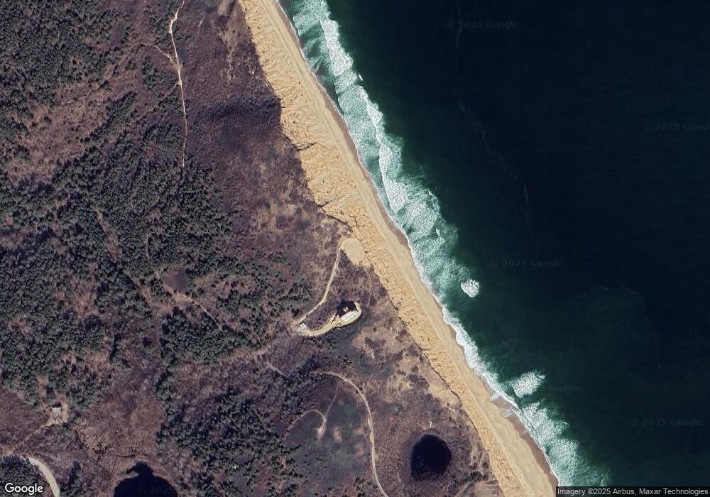
This home is located at 112 N Pamet Rd, Truro, MA 2666 and is currently estimated at $2,615,797, approximately $949 per square foot. 112 N Pamet Rd is a home located in Barnstable County.
Ownership History
Date
Name
Owned For
Owner Type
Purchase Details
Closed on
Jan 7, 2016
Sold by
Qpr A Labouisse Peretz and Labouisse-Peretz Anne
Bought by
Dune House Nt and Burdick William T
Current Estimated Value
Purchase Details
Closed on
Feb 24, 2010
Sold by
Peretz Martin
Bought by
Peretz Anne Labouisse and Peretz Martin
Purchase Details
Closed on
Mar 22, 2001
Sold by
Carr George V Est and Carr Paul D
Bought by
Shortsleeve C C and Shortsleeve Elizabeth
Home Financials for this Owner
Home Financials are based on the most recent Mortgage that was taken out on this home.
Original Mortgage
$150,000
Interest Rate
6.93%
Mortgage Type
Purchase Money Mortgage
Create a Home Valuation Report for This Property
The Home Valuation Report is an in-depth analysis detailing your home's value as well as a comparison with similar homes in the area
Home Values in the Area
Average Home Value in this Area
Purchase History
| Date | Buyer | Sale Price | Title Company |
|---|---|---|---|
| Dune House Nt | -- | -- | |
| Peretz Anne Labouisse | -- | -- | |
| Shortsleeve C C | $187,500 | -- |
Source: Public Records
Mortgage History
| Date | Status | Borrower | Loan Amount |
|---|---|---|---|
| Previous Owner | Shortsleeve C C | $150,000 |
Source: Public Records
Tax History Compared to Growth
Tax History
| Year | Tax Paid | Tax Assessment Tax Assessment Total Assessment is a certain percentage of the fair market value that is determined by local assessors to be the total taxable value of land and additions on the property. | Land | Improvement |
|---|---|---|---|---|
| 2025 | $19,311 | $3,124,700 | $2,816,500 | $308,200 |
| 2024 | $27,502 | $4,591,300 | $2,613,900 | $1,977,400 |
| 2023 | $25,826 | $3,949,000 | $2,272,500 | $1,676,500 |
| 2022 | $24,817 | $3,210,500 | $1,958,900 | $1,251,600 |
| 2021 | $24,096 | $3,265,100 | $1,958,900 | $1,306,200 |
| 2020 | $23,108 | $3,152,500 | $1,939,400 | $1,213,100 |
| 2019 | $23,094 | $3,099,900 | $1,939,400 | $1,160,500 |
| 2018 | $22,137 | $3,003,700 | $1,939,400 | $1,064,300 |
| 2017 | $22,442 | $3,215,200 | $2,198,000 | $1,017,200 |
| 2016 | $21,579 | $3,187,400 | $2,176,600 | $1,010,800 |
| 2015 | $20,493 | $3,090,900 | $2,155,200 | $935,700 |
Source: Public Records
Map
Nearby Homes