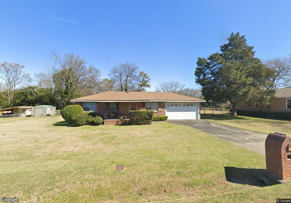
112 Napier Ave Warner Robins, GA 31093
Estimated Value: $108,000 - $136,000
3
Beds
1
Bath
1,025
Sq Ft
$124/Sq Ft
Est. Value
About This Home
This home is located at 112 Napier Ave, Warner Robins, GA 31093 and is currently estimated at $127,009, approximately $123 per square foot. 112 Napier Ave is a home located in Houston County with nearby schools including Westside Elementary School, Northside Middle School, and Northside High School.
Ownership History
Date
Name
Owned For
Owner Type
Purchase Details
Closed on
Oct 5, 2022
Sold by
Hollingsworth Dorothy W
Bought by
Phillips Patrice Renee Watson
Current Estimated Value
Purchase Details
Closed on
Oct 13, 1981
Sold by
Gray David M and Gray Deborah G
Bought by
Hollingsworth Hollingsworth J and Hollingsworth Dorothy W
Purchase Details
Closed on
Apr 7, 1980
Sold by
Gabbard David E and Gabbard Benita C
Bought by
Gray David M and Gray Deborah G
Purchase Details
Closed on
Sep 28, 1976
Sold by
Mcduffie Christine B
Bought by
Gabbard David E and Gabbard Benita C
Purchase Details
Closed on
Aug 11, 1960
Bought by
Mcduffie Christine B
Create a Home Valuation Report for This Property
The Home Valuation Report is an in-depth analysis detailing your home's value as well as a comparison with similar homes in the area
Home Values in the Area
Average Home Value in this Area
Purchase History
| Date | Buyer | Sale Price | Title Company |
|---|---|---|---|
| Phillips Patrice Renee Watson | -- | -- | |
| Hollingsworth Hollingsworth J | $32,500 | -- | |
| Gray David M | -- | -- | |
| Gabbard David E | -- | -- | |
| Mcduffie Christine B | -- | -- |
Source: Public Records
Tax History
| Year | Tax Paid | Tax Assessment Tax Assessment Total Assessment is a certain percentage of the fair market value that is determined by local assessors to be the total taxable value of land and additions on the property. | Land | Improvement |
|---|---|---|---|---|
| 2024 | $744 | $31,120 | $6,200 | $24,920 |
| 2023 | $570 | $23,600 | $3,440 | $20,160 |
| 2022 | $481 | $21,920 | $3,440 | $18,480 |
| 2021 | $418 | $19,200 | $3,440 | $15,760 |
| 2020 | $431 | $19,640 | $3,440 | $16,200 |
| 2019 | $431 | $19,640 | $3,440 | $16,200 |
| 2018 | $431 | $19,640 | $3,440 | $16,200 |
| 2017 | $431 | $19,640 | $3,440 | $16,200 |
| 2016 | $432 | $19,640 | $3,440 | $16,200 |
| 2015 | $433 | $19,640 | $3,440 | $16,200 |
| 2014 | -- | $19,640 | $3,440 | $16,200 |
| 2013 | -- | $21,480 | $3,440 | $18,040 |
Source: Public Records
Map
Nearby Homes
- 108 Madison Ave
- 209 Knodishall Dr
- 112 Holt Ave
- 225 Woodland Trail
- 111 Hawthorne Rd
- 318 Somerset Dr
- 321 Somerset Dr
- 301 Millside Dr
- 102 Hemlock St
- 112 Peacock Dr
- 1728 Green St
- 707 Wilmington Dr
- 303 Pinecrest Dr
- 725 B East Side Dr
- 221 Gilchrist Dr
- 103 Shannon Ln
- 103 Westcliff Cir Unit A
- 103 Westcliff Cir Unit A
- 1716 Green St
- 110 Wray St