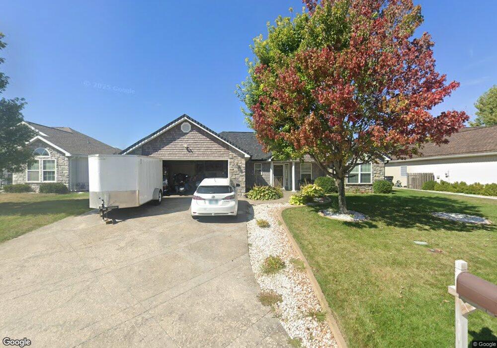
112 NW Michael Dr Grain Valley, MO 64029
Estimated Value: $324,463 - $353,000
3
Beds
2
Baths
1,745
Sq Ft
$196/Sq Ft
Est. Value
About This Home
This home is located at 112 NW Michael Dr, Grain Valley, MO 64029 and is currently estimated at $341,616, approximately $195 per square foot. 112 NW Michael Dr is a home located in Jackson County with nearby schools including Grain Valley High School.
Ownership History
Date
Name
Owned For
Owner Type
Purchase Details
Closed on
Nov 9, 2006
Sold by
Underwood Jeremy and Underwood Jack
Bought by
Reichl Justin E and Reichl Donna
Current Estimated Value
Home Financials for this Owner
Home Financials are based on the most recent Mortgage that was taken out on this home.
Original Mortgage
$174,000
Outstanding Balance
$113,534
Interest Rate
8.12%
Mortgage Type
Purchase Money Mortgage
Estimated Equity
$228,082
Purchase Details
Closed on
Mar 16, 2006
Sold by
Rick Lafal Construction Inc
Bought by
Underwood Jeremy and Underwood Jack
Home Financials for this Owner
Home Financials are based on the most recent Mortgage that was taken out on this home.
Original Mortgage
$136,000
Interest Rate
6.21%
Mortgage Type
Construction
Create a Home Valuation Report for This Property
The Home Valuation Report is an in-depth analysis detailing your home's value as well as a comparison with similar homes in the area
Home Values in the Area
Average Home Value in this Area
Purchase History
We collect this data history from publicly available records. To have your information removed, we recommend requesting removal directly through your county’s website.
| Date | Buyer | Sale Price | Title Company |
|---|---|---|---|
| Reichl Justin E | -- | Ctic | |
| Underwood Jeremy | -- | Stewart Title Of Kansas City |
Source: Public Records
Mortgage History
We collect this data history from publicly available records. To have your information removed, we recommend requesting removal directly through your county’s website.
| Date | Status | Borrower | Loan Amount |
|---|---|---|---|
| Open | Reichl Justin E | $174,000 | |
| Previous Owner | Underwood Jeremy | $136,000 |
Source: Public Records
Tax History
| Year | Tax Paid | Tax Assessment Tax Assessment Total Assessment is a certain percentage of the fair market value that is determined by local assessors to be the total taxable value of land and additions on the property. | Land | Improvement |
|---|---|---|---|---|
| 2025 | $4,487 | $44,225 | $5,615 | $38,610 |
| 2024 | $4,319 | $54,473 | $5,295 | $49,178 |
| 2023 | $4,319 | $54,473 | $7,528 | $46,945 |
| 2022 | $3,031 | $33,440 | $4,788 | $28,652 |
| 2021 | $2,960 | $33,440 | $4,788 | $28,652 |
| 2020 | $3,003 | $33,462 | $4,788 | $28,674 |
| 2019 | $2,942 | $33,462 | $4,788 | $28,674 |
| 2018 | $3,122 | $33,178 | $7,018 | $26,160 |
| 2017 | $3,000 | $33,178 | $7,018 | $26,160 |
| 2016 | $3,000 | $31,901 | $7,638 | $24,263 |
| 2014 | $2,877 | $30,362 | $7,144 | $23,218 |
Source: Public Records
Map
Nearby Homes
- 110 NW Lindsey Ln
- 1821 SE Kenwood Dr
- 309 S Minter Rd
- 6205 Chiles Rd
- 521 S Minter Rd
- 545 S Minter Rd
- 2700 NE Wheatley Dr
- 2701 NE Wheatley Dr
- 2512 NE Wheatley Dr
- 2601 NE Wheatley Dr
- 2604 NE Crestview St
- 2512 NE Crestview St
- 2605 NE Crestview St
- 2609 NE Crestview St
- 2700 NE Crestview St
- 2701 NE Crestview St
- 1308 NW Ashley Dr
- 708 Pavillion Dr
- 2600 NE Amanda Ln
- 501 SW Whitestone Dr
- 110 NW Michael Dr
- 114 NW Michael Dr
- 108 NW Michael Dr
- 111 NW Michael Dr
- 109 NW Michael Dr
- 106 NW Michael Dr
- 107 NW Michael Dr
- 202 NW Michael Dr
- 201 NW Michael Dr
- 105 NW Michael Dr
- 110 NW Jackie Ave
- 203 NW Michael Dr
- 104 NW Michael Dr
- 204 NW Michael Dr
- 108 NW Jackie Ave
- 112 NW Jackie Ave
- 106 NW Jackie Ave
- 205 NW Michael Dr
- 103 NW Michael Dr
- 102 NW Michael Dr
Your Personal Tour Guide
Ask me questions while you tour the home.