112 Old McDonald Rd Cumberland, MD 21502
Estimated Value: $229,000 - $751,632
--
Bed
4
Baths
4,728
Sq Ft
$104/Sq Ft
Est. Value
About This Home
This home is located at 112 Old McDonald Rd, Cumberland, MD 21502 and is currently estimated at $490,316, approximately $103 per square foot. 112 Old McDonald Rd is a home located in Allegany County with nearby schools including Parkside Elementary School, Braddock Middle School, and Allegany High School.
Ownership History
Date
Name
Owned For
Owner Type
Purchase Details
Closed on
Mar 20, 2002
Sold by
Jenkins W Stephen
Bought by
Jenkins W Stephen Christine
Current Estimated Value
Purchase Details
Closed on
Oct 21, 1998
Sold by
Jenkins W Stephen
Bought by
Jenkins W Stephen
Purchase Details
Closed on
May 31, 1995
Sold by
Jenkins W Stephen
Bought by
Durst Joseph R and Durst John
Purchase Details
Closed on
May 1, 1995
Sold by
Jenkins W Stephen
Bought by
Boroff Jenkins W and Boroff Jane Ann
Create a Home Valuation Report for This Property
The Home Valuation Report is an in-depth analysis detailing your home's value as well as a comparison with similar homes in the area
Home Values in the Area
Average Home Value in this Area
Purchase History
| Date | Buyer | Sale Price | Title Company |
|---|---|---|---|
| Jenkins W Stephen Christine | -- | -- | |
| Jenkins W Stephen | $1,875 | -- | |
| Durst Joseph R | -- | -- | |
| Boroff Jenkins W | -- | -- | |
| Jenkins W Stephen | -- | -- |
Source: Public Records
Tax History Compared to Growth
Tax History
| Year | Tax Paid | Tax Assessment Tax Assessment Total Assessment is a certain percentage of the fair market value that is determined by local assessors to be the total taxable value of land and additions on the property. | Land | Improvement |
|---|---|---|---|---|
| 2025 | $6,999 | $568,100 | $72,800 | $495,300 |
| 2024 | $6,567 | $533,000 | $0 | $0 |
| 2023 | $5,412 | $497,900 | $0 | $0 |
| 2022 | $5,702 | $462,800 | $70,100 | $392,700 |
| 2021 | $5,653 | $459,333 | $0 | $0 |
| 2020 | $7,422 | $597,567 | $0 | $0 |
| 2019 | $7,327 | $594,700 | $212,400 | $382,300 |
| 2018 | $7,267 | $594,700 | $212,400 | $382,300 |
| 2017 | $7,261 | $594,700 | $0 | $0 |
| 2016 | $0 | $604,000 | $0 | $0 |
| 2015 | -- | $591,967 | $0 | $0 |
| 2014 | -- | $579,933 | $0 | $0 |
Source: Public Records
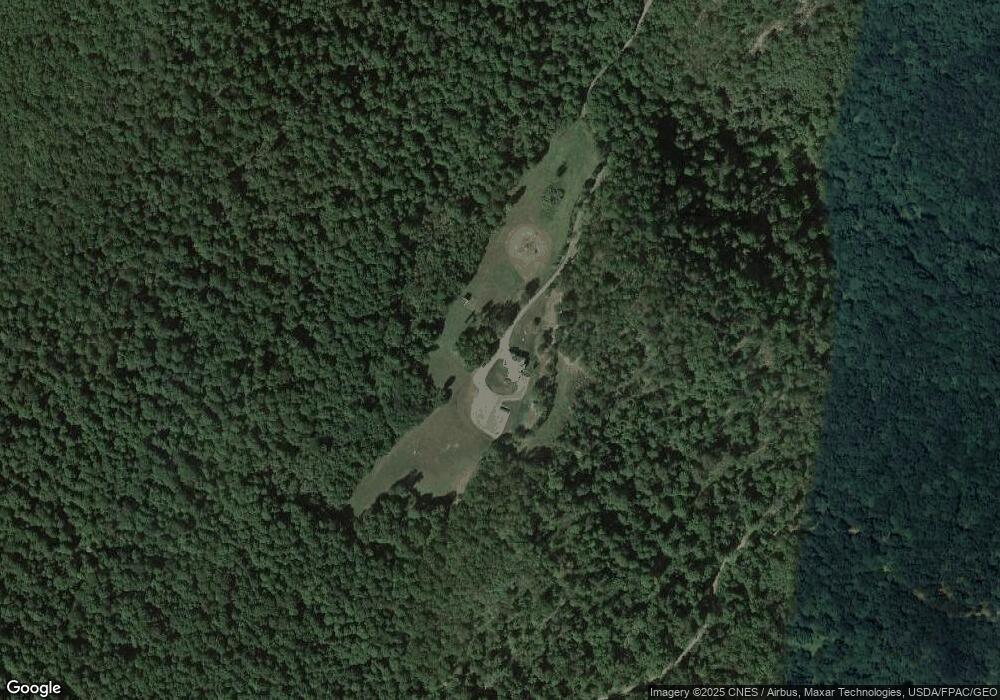
Map
Nearby Homes
- 12223 Summit Cir
- 15800 Sprucewood Dr
- 1320 National Hwy
- 12215 Barbers Hill Rd SW
- 12305 Barbers Hill Rd SW
- 0 Winchester Rd Unit MDAL2012680
- 16723 Loartown Rd SW
- 14 Clubhouse Rd
- 12419 Vale Summit Rd SW
- 0 Fir Tree Ln Unit MDAL2012106
- 14619 Redwood St
- 11813 Illinois Ave
- 14620 Redwood St
- 14801 Connecticut Ave
- 15509 Burton Park
- 14129 Louise Dr SW
- 15008 Laurel Ridge Rd SW
- 1073 National Hwy
- 14804 Bell St
- 1064 Pine St
- 90 Old McDonald Rd
- 85 Old McDonald Rd
- 12363 Summit Cir
- 12409 Summit Cir
- 12403 Summit Cir
- 12413 Summit Cir
- 12351 Summit Cir
- 15201 Running Bear Ln
- 20 LOT 20 Summit Cir
- 19 LOT # 19 Simmit Cir
- 60 Old McDonald Rd
- 18 LOT # 18 Summit Cir
- 12443 Summit Cir
- 12312 Summit Cir
- LOT 26 Summit Cir
- 12450 Summit Cir
- LOT 25 Summit Cir
- 16 LOT # 16 Summit Cir
- 17 LOT #17 Summit Cir
- 0 Brant Rd Unit 1003919121