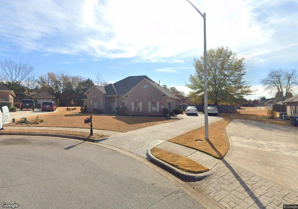
112 Old Pointe Way Huntsville, AL 35806
Research Park NeighborhoodEstimated Value: $387,804 - $451,000
4
Beds
3
Baths
2,378
Sq Ft
$173/Sq Ft
Est. Value
About This Home
This home is located at 112 Old Pointe Way, Huntsville, AL 35806 and is currently estimated at $411,201, approximately $172 per square foot. 112 Old Pointe Way is a home located in Madison County with nearby schools including Monrovia Elementary School, Monrovia Middle School, and Sparkman High School.
Ownership History
Date
Name
Owned For
Owner Type
Purchase Details
Closed on
Nov 6, 2018
Sold by
Holman Judy A
Bought by
Holman Judy A and Holman Nicholas Brandy
Current Estimated Value
Purchase Details
Closed on
Jan 30, 2009
Sold by
Dean Jason W and Dean Lynn
Bought by
Holman Judy A
Home Financials for this Owner
Home Financials are based on the most recent Mortgage that was taken out on this home.
Original Mortgage
$243,409
Interest Rate
5.23%
Mortgage Type
FHA
Create a Home Valuation Report for This Property
The Home Valuation Report is an in-depth analysis detailing your home's value as well as a comparison with similar homes in the area
Home Values in the Area
Average Home Value in this Area
Purchase History
| Date | Buyer | Sale Price | Title Company |
|---|---|---|---|
| Holman Judy A | $43,000 | None Available | |
| Holman Judy A | -- | -- |
Source: Public Records
Mortgage History
| Date | Status | Borrower | Loan Amount |
|---|---|---|---|
| Previous Owner | Holman Judy A | $243,409 |
Source: Public Records
Tax History Compared to Growth
Tax History
| Year | Tax Paid | Tax Assessment Tax Assessment Total Assessment is a certain percentage of the fair market value that is determined by local assessors to be the total taxable value of land and additions on the property. | Land | Improvement |
|---|---|---|---|---|
| 2024 | $1,133 | $32,760 | $5,000 | $27,760 |
| 2023 | $1,133 | $29,860 | $3,320 | $26,540 |
| 2022 | $925 | $26,920 | $3,320 | $23,600 |
| 2021 | $925 | $26,920 | $3,320 | $23,600 |
| 2020 | $832 | $24,370 | $3,320 | $21,050 |
| 2019 | $806 | $23,650 | $3,320 | $20,330 |
| 2018 | $752 | $22,200 | $0 | $0 |
| 2017 | $752 | $22,200 | $0 | $0 |
| 2016 | $752 | $22,200 | $0 | $0 |
| 2015 | $752 | $22,200 | $0 | $0 |
| 2014 | $741 | $21,900 | $0 | $0 |
Source: Public Records
Map
Nearby Homes
- 115 Misty Hollow Way
- 120 Arbery Dr NW
- 2031 Blake Bottom Rd NW Unit 15
- 2031 Blake Bottom Rd NW
- 2031 Blake Bottom Rd NW Unit 2
- 1.4 acres Jeff Rd NW
- 10.4 acres Jeff Rd NW
- 229 Brooklet Ct
- 104 Raymon Cir
- 131 Fairington Rd NW
- 1 ACRE EASEMENT Jeff Rd NW
- 124 Huston Ct
- 989 Jeff Rd NW
- 113 Thomas Woods Ct
- 140 Lovvorn Ln NW
- 122 Kingswood Dr
- 108 Holbrook Dr
- 100 Gordy Dr
- 109 Sarah Jane Dr
- 102 Kretzer Ct
- 114 Old Pointe Way
- 110 Old Pointe Way
- 203 Pearlewood Ct
- 201 Pearlewood Ct
- 113 Old Pointe Way
- 205 Pearlewood Ct
- 242 Homeplace Ln NW
- 108 Old Pointe Way
- 179 Summer Pointe Ln NW
- 111 Old Pointe Way
- 109 Old Pointe Way
- 207 Pearlewood Ct
- 106 Old Pointe Way
- 200 Pearlewood Ct
- 224 Homeplace Ln NW
- 266 Homeplace Ln NW
- 107 Old Pointe Way
- 202 Pearlewood Ct
- 209 Pearle Wood Ct
- 209 Pearlewood Ct