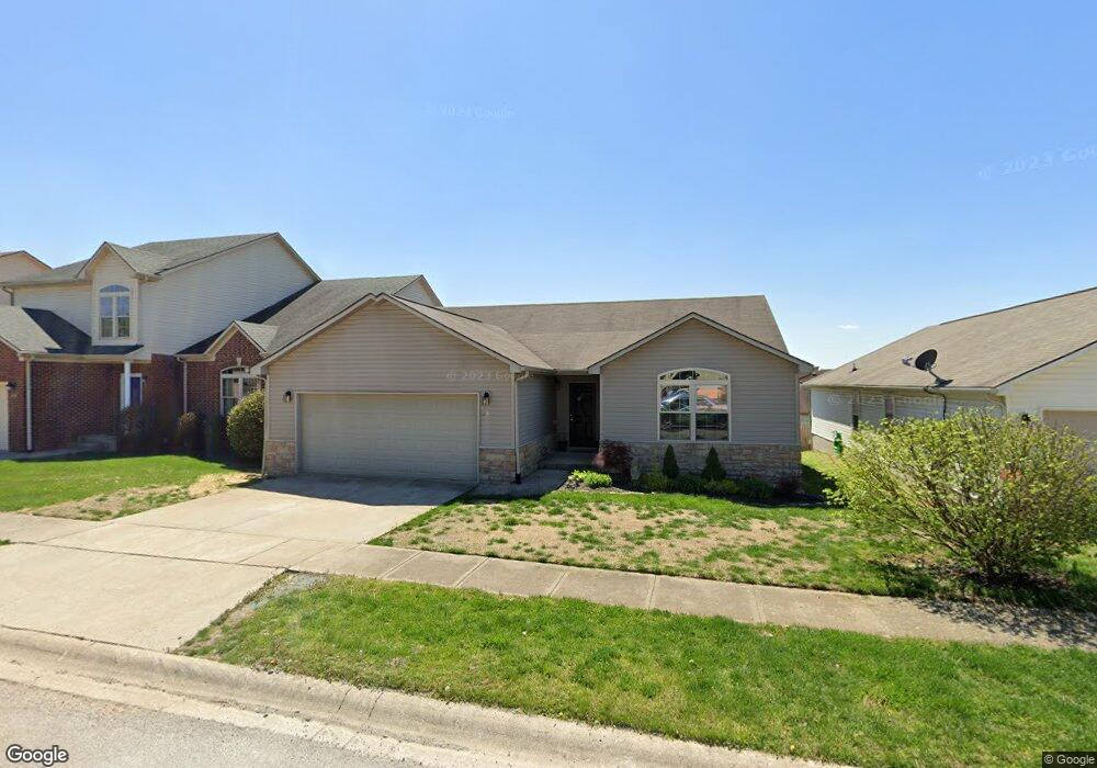
112 Palmer Dr Frankfort, KY 40601
Estimated Value: $250,886 - $279,000
3
Beds
2
Baths
1,547
Sq Ft
$174/Sq Ft
Est. Value
About This Home
This home is located at 112 Palmer Dr, Frankfort, KY 40601 and is currently estimated at $268,472, approximately $173 per square foot. 112 Palmer Dr is a home located in Franklin County with nearby schools including Hearn Elementary School, Elkhorn Middle School, and Franklin County High School.
Ownership History
Date
Name
Owned For
Owner Type
Purchase Details
Closed on
Feb 12, 2017
Sold by
Moore Earl Edsel and Moore Katherine Akers
Bought by
Bussell Darlene K
Current Estimated Value
Home Financials for this Owner
Home Financials are based on the most recent Mortgage that was taken out on this home.
Original Mortgage
$145,299
Outstanding Balance
$118,455
Interest Rate
3.75%
Mortgage Type
FHA
Estimated Equity
$150,017
Purchase Details
Closed on
Jul 31, 2009
Sold by
Leach Andrew J and Leach Rebecca
Bought by
Thompson Robert E and Thompson Tammy S
Purchase Details
Closed on
Sep 2, 2000
Sold by
Brester Homes Of Kentucky Llc
Bought by
Leach Andrew J
Home Financials for this Owner
Home Financials are based on the most recent Mortgage that was taken out on this home.
Original Mortgage
$141,695
Interest Rate
5.71%
Mortgage Type
VA
Create a Home Valuation Report for This Property
The Home Valuation Report is an in-depth analysis detailing your home's value as well as a comparison with similar homes in the area
Home Values in the Area
Average Home Value in this Area
Purchase History
| Date | Buyer | Sale Price | Title Company |
|---|---|---|---|
| Bussell Darlene K | $155,000 | Kentuckiana Title Agency Llc | |
| Thompson Robert E | $135,000 | None Available | |
| Leach Andrew J | -- | -- |
Source: Public Records
Mortgage History
| Date | Status | Borrower | Loan Amount |
|---|---|---|---|
| Open | Bussell Darlene K | $145,299 | |
| Previous Owner | Leach Andrew J | $141,695 |
Source: Public Records
Tax History Compared to Growth
Tax History
| Year | Tax Paid | Tax Assessment Tax Assessment Total Assessment is a certain percentage of the fair market value that is determined by local assessors to be the total taxable value of land and additions on the property. | Land | Improvement |
|---|---|---|---|---|
| 2025 | $1,857 | $155,000 | $0 | $0 |
| 2024 | $1,871 | $155,000 | $0 | $0 |
| 2023 | $1,852 | $155,000 | $0 | $0 |
| 2022 | $1,835 | $155,000 | $0 | $0 |
| 2021 | $1,821 | $155,000 | $0 | $0 |
| 2020 | $1,837 | $155,000 | $22,000 | $133,000 |
| 2019 | $1,875 | $155,000 | $22,000 | $133,000 |
| 2018 | $1,871 | $155,000 | $22,000 | $133,000 |
| 2017 | -- | $124,000 | $22,000 | $102,000 |
| 2016 | $1,414 | $124,000 | $22,000 | $102,000 |
| 2015 | $1,347 | $124,000 | $22,000 | $102,000 |
Source: Public Records
Map
Nearby Homes
- 220 Palmer Dr
- 326 Mallard Dr
- 118 Wood Duck Dr
- 125 Buena Vista Dr
- 209 Farmbrook Cir
- 200 Mallard Dr
- 107 Buena Vista Dr
- 116 Muirfield Ct
- 1120 Duckers Rd
- 107 Blue Spruce Dr
- 304 Blue Spruce Dr
- 116 Wisteria Ln
- 145 Bobby Jones Blvd
- 101 Buttonwood Way
- Tract Robert M Green Blvd
- 318 Blue Spruce Dr
- 143 Whispering Pines Dr
- 404 S Scruggs
- 800 A S Scruggs
- 113 Metcalf Dr