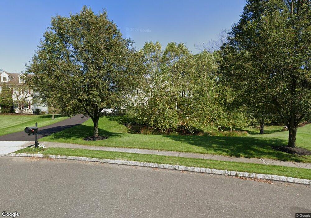
112 Poe Ct North Wales, PA 19454
Estimated Value: $995,000 - $1,133,000
4
Beds
3
Baths
2,916
Sq Ft
$357/Sq Ft
Est. Value
About This Home
This home is located at 112 Poe Ct, North Wales, PA 19454 and is currently estimated at $1,040,725, approximately $356 per square foot. 112 Poe Ct is a home located in Montgomery County with nearby schools including Montgomery Elementary School, Pennbrook Middle School, and North Penn Senior High School.
Ownership History
Date
Name
Owned For
Owner Type
Purchase Details
Closed on
Mar 27, 2012
Sold by
Mccartney Richard and Mccartney Laurie
Bought by
Mccartney Lauri and Mccartney Richard
Current Estimated Value
Home Financials for this Owner
Home Financials are based on the most recent Mortgage that was taken out on this home.
Original Mortgage
$210,000
Outstanding Balance
$145,049
Interest Rate
3.91%
Estimated Equity
$895,676
Purchase Details
Closed on
Jul 11, 2002
Sold by
The Cutler Group Inc
Bought by
Mccartney Richard and Mccartney Laurie
Create a Home Valuation Report for This Property
The Home Valuation Report is an in-depth analysis detailing your home's value as well as a comparison with similar homes in the area
Home Values in the Area
Average Home Value in this Area
Purchase History
| Date | Buyer | Sale Price | Title Company |
|---|---|---|---|
| Mccartney Lauri | -- | None Available | |
| Mccartney Richard | $436,860 | -- |
Source: Public Records
Mortgage History
| Date | Status | Borrower | Loan Amount |
|---|---|---|---|
| Open | Mccartney Lauri | $210,000 |
Source: Public Records
Tax History Compared to Growth
Tax History
| Year | Tax Paid | Tax Assessment Tax Assessment Total Assessment is a certain percentage of the fair market value that is determined by local assessors to be the total taxable value of land and additions on the property. | Land | Improvement |
|---|---|---|---|---|
| 2025 | $11,487 | $307,920 | -- | -- |
| 2024 | $11,487 | $307,920 | -- | -- |
| 2023 | $10,959 | $307,920 | $0 | $0 |
| 2022 | $10,574 | $307,920 | $0 | $0 |
| 2021 | $9,942 | $307,920 | $0 | $0 |
| 2020 | $9,679 | $307,920 | $0 | $0 |
| 2019 | $9,499 | $307,920 | $0 | $0 |
| 2018 | $1,599 | $307,920 | $0 | $0 |
| 2017 | $9,092 | $307,920 | $0 | $0 |
| 2016 | $8,972 | $307,920 | $0 | $0 |
| 2015 | $8,289 | $297,920 | $104,870 | $193,050 |
| 2014 | $8,289 | $297,920 | $104,870 | $193,050 |
Source: Public Records
Map
Nearby Homes
- 1231 Lower State Rd
- 136 Mallard Dr W
- 109 Kingston Way
- 273 Running Water Ct
- 87 Schreiner Dr
- 635 Stream View Dr
- 272 Mallard Dr E
- 404 Clear Creek Ct
- 214 Grove Valley Ct
- 87 Chestnut Ln
- 222 Grove Valley Ct
- 438 Neshaminy Falls Cir
- 462 Running Brook Rd
- 756 Locust Ct
- 433 Running Brook Rd
- 252 Fawn Valley Ct
- 135 Creeks Edge Ct
- 103 Gordon Ln
- 220 Winding Brook Run
- 219 Winding Brook Run
