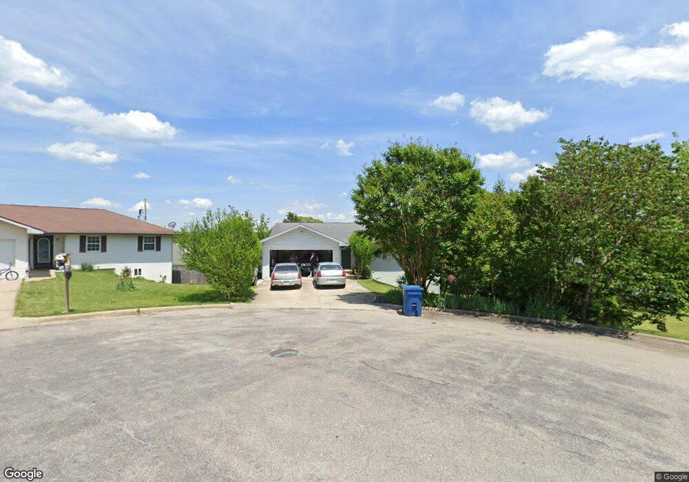
112 Primrose Ln Branson, MO 65616
Estimated Value: $233,000 - $326,000
4
Beds
3
Baths
2,512
Sq Ft
$114/Sq Ft
Est. Value
About This Home
This home is located at 112 Primrose Ln, Branson, MO 65616 and is currently estimated at $285,757, approximately $113 per square foot. 112 Primrose Ln is a home located in Taney County with nearby schools including Cedar Ridge Primary, Cedar Ridge Intermediate School, and Cedar Ridge Elementary School.
Ownership History
Date
Name
Owned For
Owner Type
Purchase Details
Closed on
Mar 30, 2011
Sold by
Miller Robert
Bought by
Anderson Garrett D and Anderson Jeanie M
Current Estimated Value
Home Financials for this Owner
Home Financials are based on the most recent Mortgage that was taken out on this home.
Original Mortgage
$132,500
Outstanding Balance
$92,178
Interest Rate
4.98%
Mortgage Type
New Conventional
Estimated Equity
$193,579
Purchase Details
Closed on
Dec 14, 2010
Sold by
Beneficial Mortgage Company Of Missouri
Bought by
Defined Rgm Discretionary
Create a Home Valuation Report for This Property
The Home Valuation Report is an in-depth analysis detailing your home's value as well as a comparison with similar homes in the area
Home Values in the Area
Average Home Value in this Area
Purchase History
| Date | Buyer | Sale Price | Title Company |
|---|---|---|---|
| Anderson Garrett D | -- | Hogan Land Title | |
| Defined Rgm Discretionary | -- | None Available |
Source: Public Records
Mortgage History
| Date | Status | Borrower | Loan Amount |
|---|---|---|---|
| Open | Anderson Garrett D | $132,500 |
Source: Public Records
Tax History Compared to Growth
Tax History
| Year | Tax Paid | Tax Assessment Tax Assessment Total Assessment is a certain percentage of the fair market value that is determined by local assessors to be the total taxable value of land and additions on the property. | Land | Improvement |
|---|---|---|---|---|
| 2025 | $1,166 | $19,620 | -- | -- |
| 2023 | $1,166 | $22,470 | $0 | $0 |
| 2022 | $1,133 | $22,470 | $0 | $0 |
| 2021 | $1,127 | $22,470 | $0 | $0 |
| 2019 | $1,033 | $20,080 | $0 | $0 |
| 2018 | $1,035 | $20,080 | $0 | $0 |
| 2017 | $936 | $18,340 | $0 | $0 |
| 2016 | $934 | $18,340 | $0 | $0 |
| 2015 | $926 | $18,340 | $0 | $0 |
| 2014 | $852 | $17,650 | $0 | $0 |
Source: Public Records
Map
Nearby Homes
- 2819 Katella Ln
- 132 Maplewood Dr
- 440 Spring Meadow Pkwy
- 218 Windridge Rd
- 297 Kelsi Ln
- 654 Walkington Ln
- 150 Cedarwood Ave
- 128 Knowledge Ave Unit 2
- Lot C-3 Cross Creek Blvd
- 231 Songbird Dr Unit 11
- 193 Honeybee Dr
- 175 W Rockford Dr Unit 11
- 175 W Rockford Dr Unit 9
- 160 W Rockford Dr Unit 4
- 192 W Rockford Dr Unit 4
- 223 North Fork
- 285 Mount Branson Dr
- 301 Woodson Bend Rd
- 150 Woodson Bend Rd
- 182 Woodson Bend Rd
- 116 Primrose Ln
- 104 Primrose Ln
- 442 Sandpiper Dr
- 422 Sandpiper Dr
- 464 Sandpiper Dr
- 223 Spring Meadow Pkwy
- 120 Primrose Ln
- 486 Sandpiper Dr
- 119 Primrose Ln
- 00 Spring Meadow Pkwy
- 0 Spring Meadow Pkwy
- 000 Spring Meadow Pkwy
- 506 Sandpiper Dr
- 124 Primrose Ln
- 216 Spring Meadow Pkwy
- 103 Primrose Ln
- 220 Spring Meadow Pkwy
- 301 Spring Meadow Pkwy
- 526 Sandpiper Dr
- 427 Sandpiper Dr