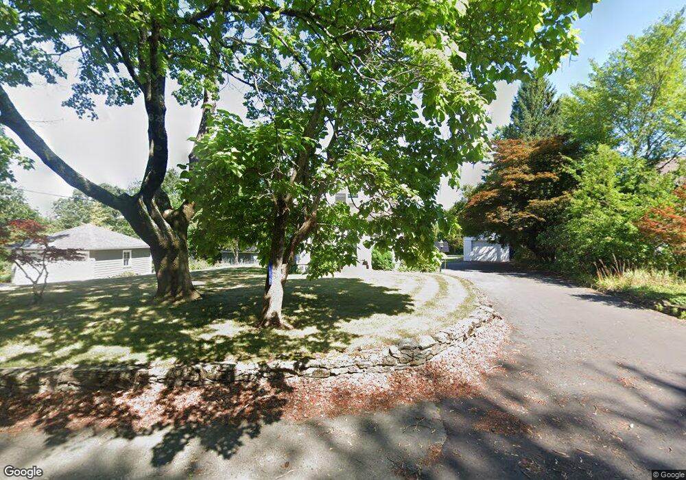
112 Read St Seekonk, MA 02771
Estimated Value: $493,530 - $595,000
3
Beds
2
Baths
1,476
Sq Ft
$361/Sq Ft
Est. Value
About This Home
This home is located at 112 Read St, Seekonk, MA 02771 and is currently estimated at $532,383, approximately $360 per square foot. 112 Read St is a home located in Bristol County with nearby schools including Seekonk High School, St Margaret School, and The Wolf School.
Ownership History
Date
Name
Owned For
Owner Type
Purchase Details
Closed on
Jul 10, 2007
Sold by
Manno Martha R and Gruppuso Philip A
Bought by
Martha R Manno Ret and Manno
Current Estimated Value
Purchase Details
Closed on
Feb 23, 2001
Sold by
Proulx Jacqueline A and Paquette Elizabeth
Bought by
Gruppuso Philip A and Manno Martha R
Create a Home Valuation Report for This Property
The Home Valuation Report is an in-depth analysis detailing your home's value as well as a comparison with similar homes in the area
Home Values in the Area
Average Home Value in this Area
Purchase History
| Date | Buyer | Sale Price | Title Company |
|---|---|---|---|
| Martha R Manno Ret | -- | -- | |
| Gruppuso Philip A | $134,000 | -- |
Source: Public Records
Mortgage History
| Date | Status | Borrower | Loan Amount |
|---|---|---|---|
| Previous Owner | Gruppuso Philip A | $82,000 | |
| Previous Owner | Gruppuso Philip A | $79,000 |
Source: Public Records
Tax History Compared to Growth
Tax History
| Year | Tax Paid | Tax Assessment Tax Assessment Total Assessment is a certain percentage of the fair market value that is determined by local assessors to be the total taxable value of land and additions on the property. | Land | Improvement |
|---|---|---|---|---|
| 2025 | $4,973 | $402,700 | $193,600 | $209,100 |
| 2024 | $4,798 | $388,500 | $193,600 | $194,900 |
| 2023 | $4,413 | $336,600 | $174,000 | $162,600 |
| 2022 | $4,093 | $306,800 | $167,100 | $139,700 |
| 2021 | $3,872 | $285,300 | $148,800 | $136,500 |
| 2020 | $3,726 | $282,900 | $148,900 | $134,000 |
| 2019 | $3,632 | $278,100 | $148,900 | $129,200 |
| 2018 | $3,532 | $264,600 | $148,900 | $115,700 |
| 2017 | $3,389 | $251,800 | $142,500 | $109,300 |
| 2016 | $3,366 | $251,000 | $142,500 | $108,500 |
| 2015 | $3,155 | $238,500 | $132,700 | $105,800 |
Source: Public Records
Map
Nearby Homes
- 116 Read St
- 102 Read St
- 88 Read St
- 43 Talbot Way
- 125 Read St
- 89 Read St
- 113 Read St
- 59 Talbot Way
- 2212 Talbot Way Unit 12212
- 2411 Talbot Way Unit 12411
- 2207 Talbot Way Unit 12207
- 2412 Talbot Way Unit 12412
- 2306 Talbot Way Unit 12306
- 2212 Talbot Way Unit 212
- 2308 Talbot Way Unit 308
- 2407 Talbot Way Unit 407
- 2309 Talbot Way Unit 309
- 34 Talbot Way
- 64 Read St
- 145 Read St