112 Reid Dr Eatonton, GA 31024
Estimated Value: $194,755 - $325,000
--
Bed
--
Bath
1,782
Sq Ft
$151/Sq Ft
Est. Value
About This Home
This home is located at 112 Reid Dr, Eatonton, GA 31024 and is currently estimated at $268,689, approximately $150 per square foot. 112 Reid Dr is a home with nearby schools including Putnam County Primary School, Putnam County Elementary School, and Putnam County Middle School.
Ownership History
Date
Name
Owned For
Owner Type
Purchase Details
Closed on
Jul 6, 2015
Sold by
Maddox John A
Bought by
Peaceful Homes Fam Limited
Current Estimated Value
Purchase Details
Closed on
Mar 11, 2003
Sold by
Farmers & Merchants Bank
Bought by
Maddox John and Maddox Jeff A
Purchase Details
Closed on
Feb 9, 1998
Sold by
Case George Robert
Bought by
Case George Robert
Purchase Details
Closed on
Mar 30, 1994
Sold by
Harrell Jackie Wain
Bought by
Case George Robert
Purchase Details
Closed on
Nov 1, 1993
Sold by
Farmer Farmer and Farmer Merchant
Bought by
Harrell Jackie Wain
Create a Home Valuation Report for This Property
The Home Valuation Report is an in-depth analysis detailing your home's value as well as a comparison with similar homes in the area
Home Values in the Area
Average Home Value in this Area
Purchase History
| Date | Buyer | Sale Price | Title Company |
|---|---|---|---|
| Peaceful Homes Fam Limited | $25,000 | -- | |
| Maddox John A | -- | -- | |
| Maddox John | $42,000 | -- | |
| Case George Robert | -- | -- | |
| Case George Robert | $6,200 | -- | |
| Harrell Jackie Wain | -- | -- |
Source: Public Records
Tax History Compared to Growth
Tax History
| Year | Tax Paid | Tax Assessment Tax Assessment Total Assessment is a certain percentage of the fair market value that is determined by local assessors to be the total taxable value of land and additions on the property. | Land | Improvement |
|---|---|---|---|---|
| 2024 | $483 | $28,052 | $11,000 | $17,052 |
| 2023 | $483 | $22,486 | $7,400 | $15,086 |
| 2022 | $301 | $15,011 | $7,400 | $7,611 |
| 2021 | $315 | $13,830 | $6,000 | $7,830 |
| 2020 | $192 | $7,930 | $5,000 | $2,930 |
| 2019 | $646 | $46,182 | $5,000 | $41,182 |
| 2018 | $665 | $46,542 | $5,360 | $41,182 |
| 2017 | $600 | $46,542 | $5,360 | $41,182 |
| 2016 | $188 | $46,542 | $5,360 | $41,182 |
| 2015 | $362 | $26,624 | $5,360 | $21,265 |
| 2014 | $363 | $26,625 | $5,360 | $21,265 |
Source: Public Records
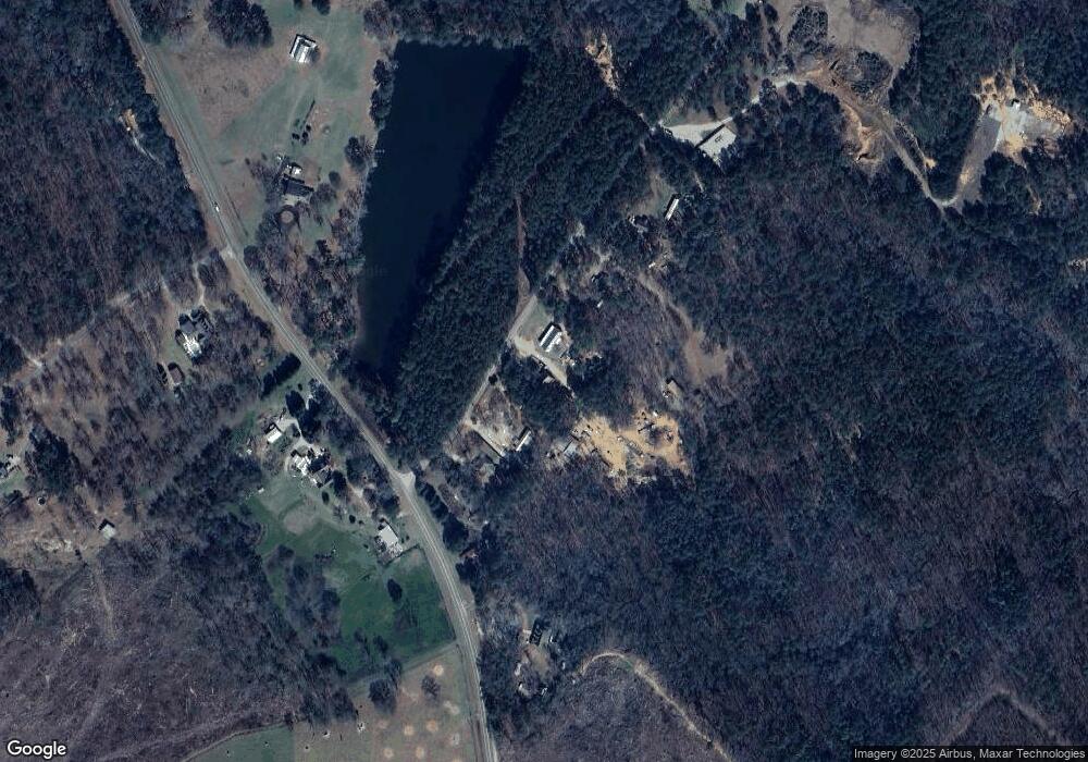
Map
Nearby Homes
- 275 N Wesley Chapel Rd
- 196 Maddox Rd
- 274 Sparta Hwy
- 151 Creekside Rd Unit (LOT 29)
- 153 Creekside Rd Unit (LOT 30)
- 272 A Little River Trail
- 134 Creekside Rd Unit (LOT 42)
- 132 Creekside Rd Unit LOT 43
- TRACT 2 Hwy 129
- Lot 15 Oconee Springs Rd SE
- 469 New Phoenix Rd NE
- Lot 19 L Mc Gehees Trail
- 122 Creekside Rd
- 135 Creekside Rd
- 135 Creekside Rd Unit (LOT 21)
- 129 Creekside Rd
- 131 Creekside Rd
- 131 Creekside Rd Unit (LOT 20)
- 126 Creekside Rd Unit (LOT 46)
- 122 Creekside Rd Unit (LOT 48)
- 106 Reid Dr
- 124 Reid Dr
- 167 N Wesley Chapel Rd
- 160 N Wesley Chapel Rd
- 185 N Wesley Chapel Rd
- 0 Reid Dr
- 135 Reid Dr
- 182 N Wesley Chapel Rd
- 465 Sparta Hwy
- 130 N Wesley Chapel Rd
- 196 N Wesley Chapel Rd
- 121 Country Ln
- 116 Country Ln
- N N Wesley Chapel Rd
- 120 Country Ln
- 125 Country Ln
- 132 Country Ln
- 0 Country Ln Unit 7024548
- 0 Country Ln Unit 7123225
- 129 Country Ln