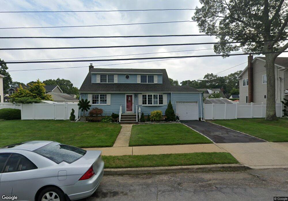
112 Rhode Island Ave Massapequa, NY 11758
Estimated Value: $777,000 - $828,632
--
Bed
2
Baths
1,598
Sq Ft
$502/Sq Ft
Est. Value
About This Home
This home is located at 112 Rhode Island Ave, Massapequa, NY 11758 and is currently estimated at $802,816, approximately $502 per square foot. 112 Rhode Island Ave is a home located in Nassau County with nearby schools including Massapequa High School - Ames Campus, Berner Middle School, and Massapequa High School.
Ownership History
Date
Name
Owned For
Owner Type
Purchase Details
Closed on
Jul 13, 2009
Sold by
Witkowski Joyce T
Bought by
Doumas Keith and Jervas Tabitha
Current Estimated Value
Home Financials for this Owner
Home Financials are based on the most recent Mortgage that was taken out on this home.
Original Mortgage
$409,500
Outstanding Balance
$270,909
Interest Rate
5.58%
Mortgage Type
Purchase Money Mortgage
Estimated Equity
$531,907
Create a Home Valuation Report for This Property
The Home Valuation Report is an in-depth analysis detailing your home's value as well as a comparison with similar homes in the area
Home Values in the Area
Average Home Value in this Area
Purchase History
| Date | Buyer | Sale Price | Title Company |
|---|---|---|---|
| Doumas Keith | $455,000 | -- |
Source: Public Records
Mortgage History
| Date | Status | Borrower | Loan Amount |
|---|---|---|---|
| Open | Doumas Keith | $409,500 |
Source: Public Records
Tax History Compared to Growth
Tax History
| Year | Tax Paid | Tax Assessment Tax Assessment Total Assessment is a certain percentage of the fair market value that is determined by local assessors to be the total taxable value of land and additions on the property. | Land | Improvement |
|---|---|---|---|---|
| 2025 | $13,486 | $507 | $207 | $300 |
| 2024 | $4,016 | $492 | $201 | $291 |
| 2023 | $11,108 | $510 | $208 | $302 |
| 2022 | $11,108 | $514 | $210 | $304 |
| 2021 | $10,191 | $523 | $213 | $310 |
| 2020 | $9,747 | $563 | $562 | $1 |
| 2019 | $8,706 | $604 | $596 | $8 |
| 2018 | $8,678 | $644 | $0 | $0 |
| 2017 | $5,422 | $684 | $600 | $84 |
| 2016 | $8,749 | $724 | $572 | $152 |
| 2015 | $3,336 | $764 | $496 | $268 |
| 2014 | $3,336 | $764 | $496 | $268 |
| 2013 | $3,192 | $804 | $522 | $282 |
Source: Public Records
Map
Nearby Homes
- 121 Ontario Ave
- 102 Boston Ave
- 101 Toronto Ave
- 163 Massachusetts Ave
- 73 Massachusetts Ave
- 86 Cleveland Ave
- 76 Hamilton Ave
- 70 Pittsburgh Ave
- 254 N Richmond Ave
- 136 Euclid Ave
- 20 Boston Ave
- 73 Chicago Ave
- 203 N Manhattan Ave
- 22 Commonwealth Ave
- 11 Pittsburgh Ave
- 104 Clark Ave
- 116 Parkhill Ave
- 598 N Suffolk Ave
- 51 Michigan Ave
- 530 N Hawthorne St
- 114 Rhode Island Ave
- 110 Rhode Island Ave
- 127 Commonwealth Ave
- 125 Commonwealth Ave
- 123 Commonwealth Ave
- 116 Rhode Island Ave
- 129 Commonwealth Ave
- 108 Rhode Island Ave
- 119 Rhode Island Ave
- 123 Rhode Island Ave
- 121 Commonwealth Ave
- 125 Rhode Island Ave
- 117 Rhode Island Ave
- 118 Rhode Island Ave
- 660 Central Ave
- 131 Commonwealth Ave
- 127 Rhode Island Ave
- 656 Central Ave
- 666 Central Ave
- 120 New Hampshire Ave