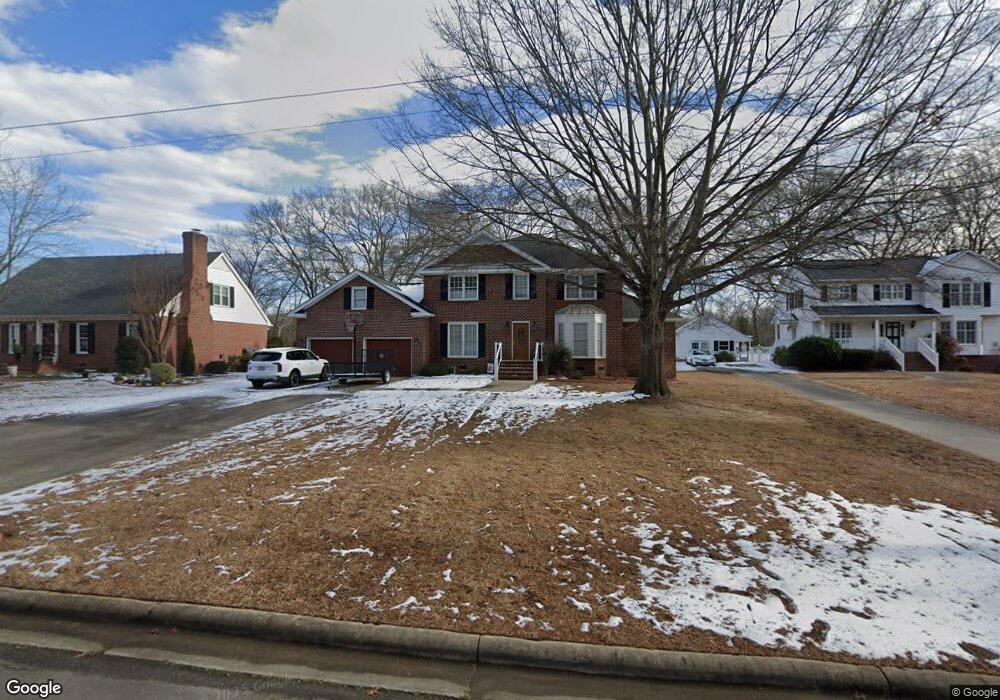
112 River Rd S Roanoke Rapids, NC 27870
Estimated Value: $302,000 - $423,000
4
Beds
4
Baths
3,341
Sq Ft
$108/Sq Ft
Est. Value
About This Home
This home is located at 112 River Rd S, Roanoke Rapids, NC 27870 and is currently estimated at $360,315, approximately $107 per square foot. 112 River Rd S is a home located in Halifax County with nearby schools including Roanoke Rapids High School, Gingerbread House, and Miracle Tabernacle Christian School.
Ownership History
Date
Name
Owned For
Owner Type
Purchase Details
Closed on
Oct 18, 2021
Sold by
Ellis Martha H and Ellis Donald Conrad
Bought by
Hux Matthew G and Hux Nicole Jean
Current Estimated Value
Home Financials for this Owner
Home Financials are based on the most recent Mortgage that was taken out on this home.
Original Mortgage
$300,000
Outstanding Balance
$273,572
Interest Rate
2.8%
Mortgage Type
VA
Estimated Equity
$86,743
Purchase Details
Closed on
Feb 26, 2004
Bought by
Neville Martha H
Create a Home Valuation Report for This Property
The Home Valuation Report is an in-depth analysis detailing your home's value as well as a comparison with similar homes in the area
Home Values in the Area
Average Home Value in this Area
Purchase History
| Date | Buyer | Sale Price | Title Company |
|---|---|---|---|
| Hux Matthew G | $300,000 | None Available | |
| Neville Martha H | -- | -- |
Source: Public Records
Mortgage History
| Date | Status | Borrower | Loan Amount |
|---|---|---|---|
| Open | Hux Matthew G | $300,000 |
Source: Public Records
Tax History Compared to Growth
Tax History
| Year | Tax Paid | Tax Assessment Tax Assessment Total Assessment is a certain percentage of the fair market value that is determined by local assessors to be the total taxable value of land and additions on the property. | Land | Improvement |
|---|---|---|---|---|
| 2025 | $63 | $394,100 | $49,900 | $344,200 |
| 2024 | $63 | $394,100 | $49,900 | $344,200 |
| 2023 | $6,216 | $367,100 | $49,900 | $317,200 |
| 2022 | $6,319 | $367,100 | $49,900 | $317,200 |
| 2021 | $6,167 | $367,100 | $49,900 | $317,200 |
| 2020 | $6,232 | $367,100 | $49,900 | $317,200 |
| 2019 | $5,925 | $344,000 | $49,800 | $294,200 |
| 2018 | $5,921 | $344,000 | $49,800 | $294,200 |
| 2017 | $5,823 | $344,000 | $49,800 | $294,200 |
| 2016 | $5,960 | $344,000 | $49,800 | $294,200 |
| 2015 | $5,671 | $344,000 | $49,800 | $294,200 |
| 2014 | $5,685 | $359,200 | $56,350 | $302,850 |
Source: Public Records
Map
Nearby Homes
- 746 Rivers Edge Pkwy
- 748 Rivers Edge Pkwy
- 738 Rivers Edge Pkwy
- Taft Plan at Canal Walk
- Roosevelt Plan at Canal Walk
- Monroe Plan at Canal Walk
- Jefferson Plan at Canal Walk
- 755 Rivers Edge Pkwy
- 764 Rivers Edge Pkwy
- 766 Rivers Edge Pkwy
- 768 Rivers Edge Pkwy
- 769 Rivers Edge Pkwy
- 779 Rivers Edge Pkwy
- 770 Rivers Edge Pkwy
- 783 Rivers Edge Pkwy
- 772 Rivers Edge Pkwy
- 204 Rollingwood Rd
- 784 Rivers Edge Pkwy
- 786 Rivers Edge Pkwy
- 785 Rivers Edge Pkwy
- 114 River Rd S
- 110 River Rd S
- 110 River Rd S
- 108 River Rd S
- 108 River Rd S
- 116 River Rd S
- 116 River Rd S
- 106 River Rd S
- 118 River Rd S
- 104 River Rd S
- 104 River Rd S
- 105 River Rd S
- 102 River Rd N
- 103 River Rd S
- 100 River Rd S
- 100 River Rd S
- 101 River Rd S
- 742 Rivers Edge Pkwy
- 740 Rivers Edge Pkwy
- 744 Rivers Edge Pkwy