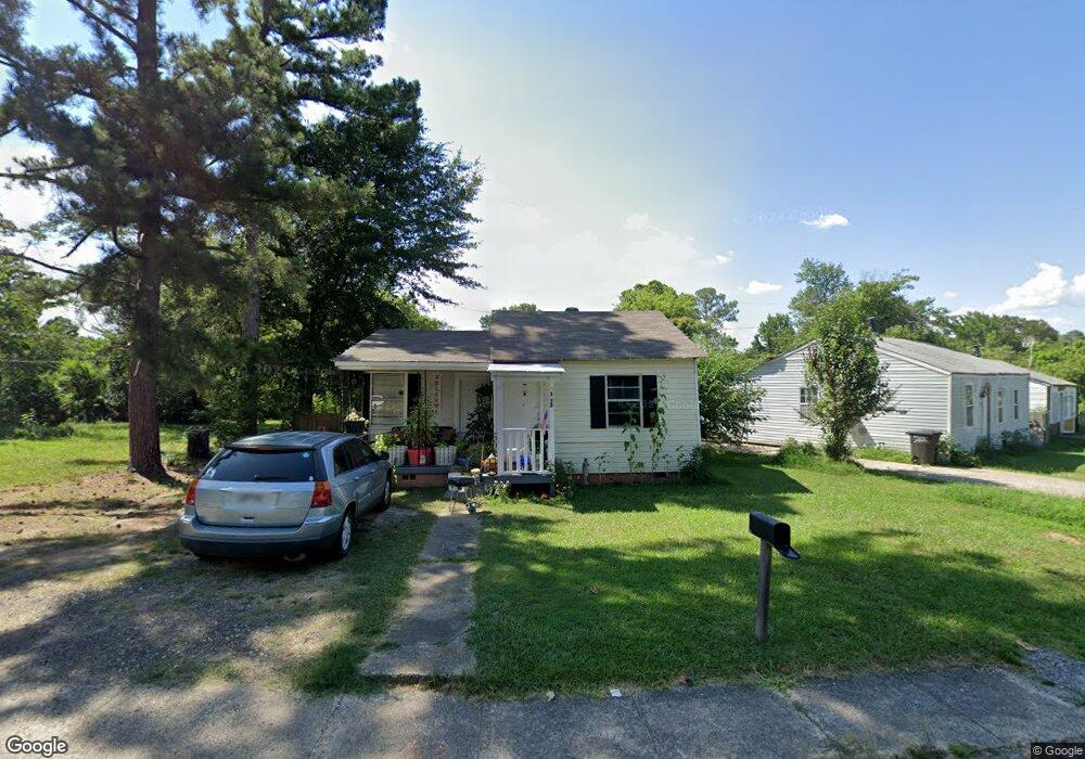
112 Roosevelt Cir Jacksonville, AR 72076
Estimated Value: $48,000 - $84,000
--
Bed
1
Bath
612
Sq Ft
$108/Sq Ft
Est. Value
About This Home
This home is located at 112 Roosevelt Cir, Jacksonville, AR 72076 and is currently estimated at $66,064, approximately $107 per square foot. 112 Roosevelt Cir is a home located in Pulaski County with nearby schools including Jacksonville Elementary School, Jacksonville Middle School, and Jacksonville High School.
Ownership History
Date
Name
Owned For
Owner Type
Purchase Details
Closed on
Jan 24, 2018
Sold by
Mcelrath Milton Ray and Mcelrath Sandra Canas
Bought by
Arkansas United Investment Llc
Current Estimated Value
Purchase Details
Closed on
Apr 21, 2016
Sold by
Crook Margie Faye and Crook Samuel Wesley
Bought by
Mcelrath Sandra Canas
Purchase Details
Closed on
Aug 10, 2005
Sold by
Harvey Robbie
Bought by
Crook Samuel Wesley and Crook Margie Faye
Create a Home Valuation Report for This Property
The Home Valuation Report is an in-depth analysis detailing your home's value as well as a comparison with similar homes in the area
Home Values in the Area
Average Home Value in this Area
Purchase History
| Date | Buyer | Sale Price | Title Company |
|---|---|---|---|
| Arkansas United Investment Llc | -- | None Available | |
| Mcelrath Sandra Canas | $9,000 | United Abstract & Title Co | |
| Crook Samuel Wesley | $9,000 | None Available |
Source: Public Records
Tax History Compared to Growth
Tax History
| Year | Tax Paid | Tax Assessment Tax Assessment Total Assessment is a certain percentage of the fair market value that is determined by local assessors to be the total taxable value of land and additions on the property. | Land | Improvement |
|---|---|---|---|---|
| 2025 | $247 | $4,397 | $240 | $4,157 |
| 2024 | $185 | $4,397 | $240 | $4,157 |
| 2023 | $185 | $4,397 | $240 | $4,157 |
| 2022 | $193 | $4,397 | $240 | $4,157 |
| 2021 | $176 | $2,860 | $200 | $2,660 |
| 2020 | $176 | $2,860 | $200 | $2,660 |
| 2019 | $176 | $2,860 | $200 | $2,660 |
| 2018 | $176 | $2,860 | $200 | $2,660 |
| 2017 | $176 | $2,860 | $200 | $2,660 |
| 2016 | $183 | $3,630 | $680 | $2,950 |
| 2015 | $150 | $2,779 | $680 | $2,099 |
| 2014 | $150 | $2,379 | $680 | $1,699 |
Source: Public Records
Map
Nearby Homes
- 419 Church St
- 134 Pike Ave
- 910 Ray Rd
- 111 Joiner Ave
- 602 Ray Rd
- 127 Wilson St
- 109 Galloway Cir
- 191 Roosevelt Rd
- 305 Smart St
- 1110 Wright St
- 221 Pearl St
- 114 Wilson St
- 1302 King St
- 404 & 406 E Center St
- 114 North Ave
- 400 & 402 E Center St
- 218 & 220 N Elm St
- 105 Smart St
- 29 Collins Rd
- 1401 Tamara Park
- 110 Roosevelt Cir
- 114 Roosevelt Cir
- 107 Roosevelt Cir
- 147 Roosevelt Rd
- 108 Roosevelt Cir
- 118 Roosevelt Cir
- 115 Roosevelt Cir
- 145 Roosevelt Rd
- 117 Roosevelt Cir
- 117 Roosevelt Cir
- 120 Roosevelt Cir
- 151 Roosevelt Rd
- 119 Roosevelt Cir
- 111 Roosevelt Cir
- 143 Roosevelt Rd
- 109 Roosevelt Cir
- 113 Roosevelt Cir
- 124 Roosevelt Cir
- 153 Roosevelt Rd
- 121 Roosevelt Cir