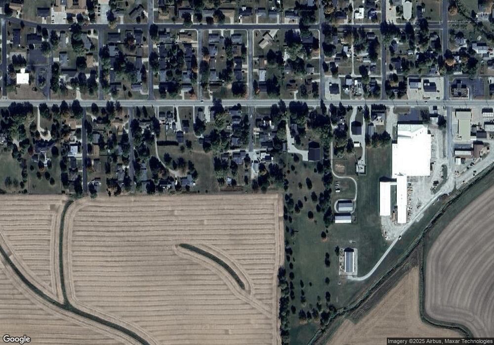
112 S 1st St Unit 303 Roanoke, IL 61561
Estimated Value: $204,000 - $228,000
--
Bed
--
Bath
1,924
Sq Ft
$110/Sq Ft
Est. Value
About This Home
This home is located at 112 S 1st St Unit 303, Roanoke, IL 61561 and is currently estimated at $211,084, approximately $109 per square foot. 112 S 1st St Unit 303 is a home located in Woodford County with nearby schools including Sowers Elementary School, Roanoke-Benson Junior High School, and Roanoke-Benson High School.
Ownership History
Date
Name
Owned For
Owner Type
Purchase Details
Closed on
May 17, 2019
Sold by
Peterson Rohn D and Peterson Karen J
Bought by
Hoffman Nathan J and Hoffman Karel K
Current Estimated Value
Home Financials for this Owner
Home Financials are based on the most recent Mortgage that was taken out on this home.
Original Mortgage
$108,000
Outstanding Balance
$70,485
Interest Rate
4.2%
Mortgage Type
New Conventional
Estimated Equity
$140,599
Create a Home Valuation Report for This Property
The Home Valuation Report is an in-depth analysis detailing your home's value as well as a comparison with similar homes in the area
Home Values in the Area
Average Home Value in this Area
Purchase History
| Date | Buyer | Sale Price | Title Company |
|---|---|---|---|
| Hoffman Nathan J | $148,000 | Woodford County Title |
Source: Public Records
Mortgage History
| Date | Status | Borrower | Loan Amount |
|---|---|---|---|
| Open | Hoffman Nathan J | $108,000 |
Source: Public Records
Tax History Compared to Growth
Tax History
| Year | Tax Paid | Tax Assessment Tax Assessment Total Assessment is a certain percentage of the fair market value that is determined by local assessors to be the total taxable value of land and additions on the property. | Land | Improvement |
|---|---|---|---|---|
| 2024 | $4,550 | $58,562 | $5,760 | $52,802 |
| 2023 | $4,189 | $53,257 | $5,238 | $48,019 |
| 2022 | $3,927 | $48,864 | $4,806 | $44,058 |
| 2021 | $3,784 | $46,141 | $4,538 | $41,603 |
| 2020 | $3,721 | $45,240 | $4,449 | $40,791 |
| 2019 | $4,097 | $51,432 | $5,058 | $46,374 |
| 2018 | $3,992 | $49,459 | $4,864 | $44,595 |
| 2017 | $3,926 | $48,490 | $4,769 | $43,721 |
| 2016 | $3,736 | $46,819 | $4,605 | $42,214 |
| 2015 | $986 | $46,516 | $4,575 | $41,941 |
| 2014 | $986 | $46,986 | $4,621 | $42,365 |
| 2013 | $986 | $47,365 | $4,658 | $42,707 |
Source: Public Records
Map
Nearby Homes
- 203 N Franklin St
- 510 Fletcher St
- 612 N Church St
- 201 Olga St
- 906 Moser Ct
- 1007 N Church St
- 608 N Douglas St
- 105 Placid Dr
- 644 County Road 1800 E
- 644 County Road 1800 E
- 201 E Green St
- 102 N 1st St
- Lot 6 Gilman St
- 111 Gilman St
- 211 N 4th St
- Lot 8 Cruger St
- 1995 County Rd 900 N
- 107 N Darst St
- 989 E James St
- 207 State St
- 112 S 1st St
- 112 S 1st St Unit R
- 110 S 1st St Unit 403
- 111 S 1st St
- 106 N 1st St
- 109 S 1st St
- 107 S 1st St
- 104 S 1st St
- 807 W Front St
- 102 S 1st St
- 711 W Front St
- 901 W Front St
- 707 W Front St
- 101 N 1st St
- 808 W Front St
- 708 W Front St Unit 432
- 903 W Front St
- 3 Southview Dr
- 705 W Front St
- 902 W Front St
