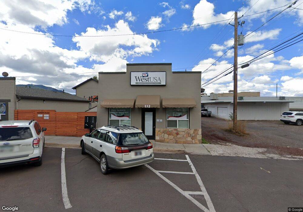
112 S 1st St Williams, AZ 86046
Estimated Value: $438,000
Studio
--
Bath
--
Sq Ft
262,231,200
Sq Ft
About This Home
This home is located at 112 S 1st St, Williams, AZ 86046 and is currently estimated at $438,000. 112 S 1st St is a home located in Coconino County with nearby schools including Williams Elementary/Middle School, Williams High School, and Heritage Elementary - Williams.
Ownership History
Date
Name
Owned For
Owner Type
Purchase Details
Closed on
May 22, 2014
Sold by
Miller Ronald J and Miller Diane M
Bought by
American Syndicated Properties Llc
Current Estimated Value
Home Financials for this Owner
Home Financials are based on the most recent Mortgage that was taken out on this home.
Original Mortgage
$180,000
Outstanding Balance
$135,900
Interest Rate
4.16%
Mortgage Type
Seller Take Back
Estimated Equity
$302,100
Purchase Details
Closed on
Apr 29, 2013
Sold by
Miller Ronald J and Miller Diane M
Bought by
Marcil Jeffrey Rene
Purchase Details
Closed on
Apr 21, 2008
Sold by
A To Z R E Properties Llc
Bought by
Miller R J and Miller Diane M
Home Financials for this Owner
Home Financials are based on the most recent Mortgage that was taken out on this home.
Original Mortgage
$175,000
Interest Rate
5.88%
Mortgage Type
Commercial
Create a Home Valuation Report for This Property
The Home Valuation Report is an in-depth analysis detailing your home's value as well as a comparison with similar homes in the area
Home Values in the Area
Average Home Value in this Area
Purchase History
| Date | Buyer | Sale Price | Title Company |
|---|---|---|---|
| American Syndicated Properties Llc | $220,000 | Pioneer Title Agency Inc | |
| Marcil Jeffrey Rene | $250,000 | Pioneer Title Agency Inc | |
| Miller R J | $375,000 | First American Title Ins Co |
Source: Public Records
Mortgage History
| Date | Status | Borrower | Loan Amount |
|---|---|---|---|
| Open | American Syndicated Properties Llc | $180,000 | |
| Previous Owner | Miller R J | $175,000 |
Source: Public Records
Tax History
| Year | Tax Paid | Tax Assessment Tax Assessment Total Assessment is a certain percentage of the fair market value that is determined by local assessors to be the total taxable value of land and additions on the property. | Land | Improvement |
|---|---|---|---|---|
| 2025 | $22 | $367 | -- | -- |
| 2024 | $22 | $352 | -- | -- |
| 2023 | $22 | $310 | $0 | $0 |
| 2022 | $21 | $252 | $0 | $0 |
| 2021 | $20 | $252 | $0 | $0 |
| 2020 | $20 | $220 | $0 | $0 |
| 2019 | $20 | $220 | $0 | $0 |
| 2018 | $21 | $220 | $0 | $0 |
| 2017 | $20 | $211 | $0 | $0 |
| 2016 | $20 | $211 | $0 | $0 |
| 2015 | $21 | $213 | $0 | $0 |
Source: Public Records
Map
Nearby Homes
- 241 W Grant Ave
- 401 S 1st St
- 344 E Route 66
- 304 S 4th St
- 407 S 4th St
- 500 W Meade Ave
- 218 E Edison Ave
- 215 W Hancock Ave
- 1124 N Grand Canyon Blvd Unit C
- 701 N Airport Rd
- 920 W Sheridan Ave
- 911 W Oak St
- 1105 W Morse Ave
- 1021 W Sheridan Ave
- 118 Pinecrest Trail
- 162 Pinecrest Trail
- 216 Pinecrest Trail
- 1007 W Oak St
- 1111 W Sheridan Ave
- 224 N Morse Ave
- 112 & 116 1st St
- 116 S 1st St
- 76 E Grant Ave Unit 76
- 102 S 1st St Unit D
- 102 S 1st St Unit C
- 102 S 1st St Unit B
- 102 S 1st St Unit A
- 102 S 1st St
- 125 W Route 66
- 100 S 1st St Unit D
- 100 S 1st St Unit C
- 100 S 1st St
- 129 W Route 66
- 113 S 2nd St
- 77 W Grant Ave
- 77 W Grant Ave Unit 77
- 133 W Route 66
- 111 S 2nd St
- 135 W Route 66
- 76 W Grant Ave
Your Personal Tour Guide
Ask me questions while you tour the home.