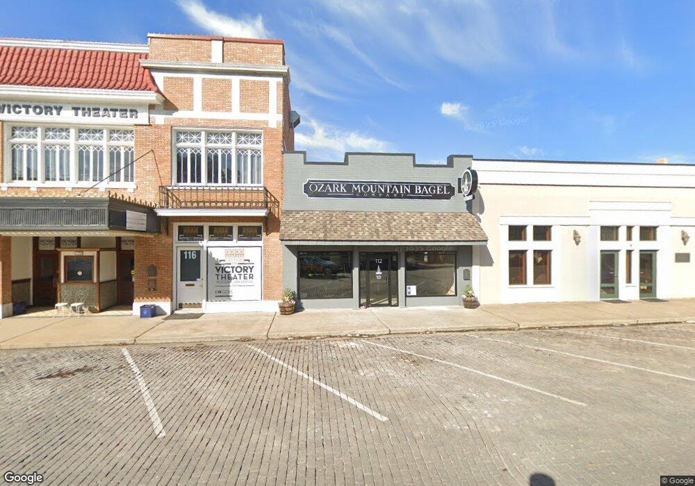
112 S 2nd St Rogers, AR 72756
Estimated Value: $281,105
Studio
--
Bath
2,085
Sq Ft
$135/Sq Ft
Est. Value
About This Home
This home is located at 112 S 2nd St, Rogers, AR 72756 and is currently estimated at $281,105, approximately $134 per square foot. 112 S 2nd St is a home located in Benton County with nearby schools including Frank Tillery Elementary School, Lingle Middle School, and Rogers Heritage High School.
Ownership History
Date
Name
Owned For
Owner Type
Purchase Details
Closed on
Jun 16, 2006
Sold by
West Denver and West Christi
Bought by
Henry David and Henry Shannon
Current Estimated Value
Purchase Details
Closed on
Sep 25, 2002
Bought by
West
Purchase Details
Closed on
Sep 13, 1989
Bought by
Pro Bus Inc
Purchase Details
Closed on
Jan 25, 1984
Bought by
Abshier
Create a Home Valuation Report for This Property
The Home Valuation Report is an in-depth analysis detailing your home's value as well as a comparison with similar homes in the area
Home Values in the Area
Average Home Value in this Area
Purchase History
| Date | Buyer | Sale Price | Title Company |
|---|---|---|---|
| Henry David | $110,000 | None Available | |
| West | $80,000 | -- | |
| Pro Bus Inc | $46,000 | -- | |
| Abshier | $28,000 | -- |
Source: Public Records
Tax History
| Year | Tax Paid | Tax Assessment Tax Assessment Total Assessment is a certain percentage of the fair market value that is determined by local assessors to be the total taxable value of land and additions on the property. | Land | Improvement |
|---|---|---|---|---|
| 2025 | $2,419 | $58,138 | $4,599 | $53,539 |
| 2024 | $2,163 | $58,138 | $4,599 | $53,539 |
| 2023 | $1,966 | $37,170 | $2,970 | $34,200 |
| 2022 | $2,044 | $37,170 | $2,970 | $34,200 |
| 2021 | $2,039 | $37,170 | $2,970 | $34,200 |
| 2020 | $1,554 | $28,310 | $3,320 | $24,990 |
| 2019 | $1,478 | $28,310 | $3,320 | $24,990 |
| 2018 | $1,373 | $28,310 | $3,320 | $24,990 |
| 2017 | $1,099 | $28,310 | $3,320 | $24,990 |
| 2016 | $1,099 | $28,310 | $3,320 | $24,990 |
| 2015 | $1,018 | $19,250 | $3,140 | $16,110 |
| 2014 | $1,018 | $19,250 | $3,140 | $16,110 |
Source: Public Records
Map
Nearby Homes
- 201 E Walnut St
- 220 N C St
- 509 E Walnut St
- 403 6th St
- 525 S 6th St
- 0 E Spring St
- Lot 7 S 3rd St
- Lot 5 S 3rd St
- Lot 6 S 3rd St
- 630 W Poplar St
- 615 & 615 1/2 N 3rd St
- 615 N 3rd St
- 718 W Maple St
- 511 Spring St
- 501 S 7th St
- 0 Sears Unit 1324915
- 803 S 1st St
- 1.47 Acres E Allen St
- 516 E Pearl St
- 707 S 7th St
- 2Nd S 120 2nd St South St
- 110 S 2nd St
- 116 S 2nd St
- 208/208.5 Walnut St
- 206 W Walnut St
- 120 S 2nd St
- 214 W Walnut St
- 205 W Elm St
- 207 W Elm St
- 209 W Elm St
- 211 W Elm St Unit A & B
- 211 W Elm St
- 111 S 2nd St
- 113 S 2nd St
- 124 W Walnut St Unit A
- 124 W Walnut St Unit B
- 124 W Walnut St
- 218 W Walnut St
- 221 W Elm St
- 63 N 2nd St
Your Personal Tour Guide
Ask me questions while you tour the home.