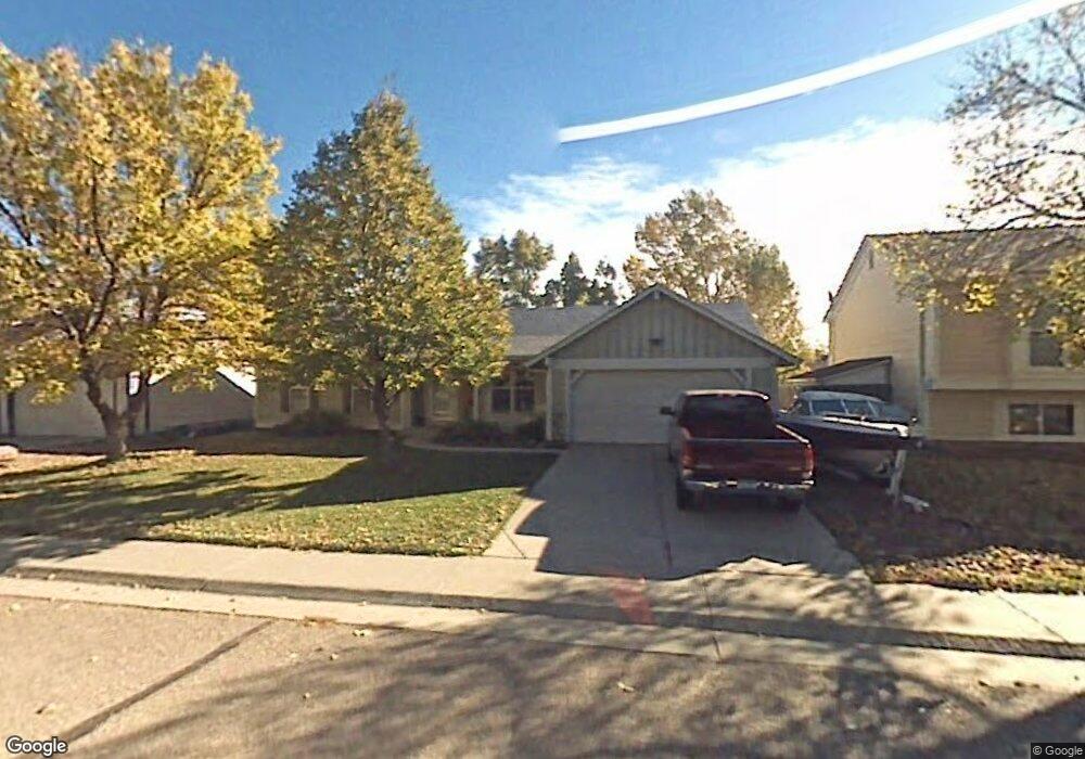
112 S Madison Ave Louisville, CO 80027
Estimated Value: $713,000 - $816,000
2
Beds
1
Bath
1,364
Sq Ft
$553/Sq Ft
Est. Value
About This Home
This home is located at 112 S Madison Ave, Louisville, CO 80027 and is currently estimated at $753,817, approximately $552 per square foot. 112 S Madison Ave is a home located in Boulder County with nearby schools including Fireside Elementary School, Monarch K-8 School, and Monarch High School.
Ownership History
Date
Name
Owned For
Owner Type
Purchase Details
Closed on
Sep 6, 1991
Bought by
Moberg Dale R and Moberg Judith G
Current Estimated Value
Purchase Details
Closed on
May 8, 1984
Bought by
Moberg Dale R and Moberg Judith G
Purchase Details
Closed on
Mar 7, 1983
Bought by
Moberg Dale R and Moberg Judith G
Purchase Details
Closed on
Mar 26, 1982
Bought by
Moberg Dale R and Moberg Judith G
Create a Home Valuation Report for This Property
The Home Valuation Report is an in-depth analysis detailing your home's value as well as a comparison with similar homes in the area
Home Values in the Area
Average Home Value in this Area
Purchase History
| Date | Buyer | Sale Price | Title Company |
|---|---|---|---|
| Moberg Dale R | $99,000 | -- | |
| Moberg Dale R | $91,000 | -- | |
| Moberg Dale R | $79,700 | -- | |
| Moberg Dale R | -- | -- |
Source: Public Records
Tax History Compared to Growth
Tax History
| Year | Tax Paid | Tax Assessment Tax Assessment Total Assessment is a certain percentage of the fair market value that is determined by local assessors to be the total taxable value of land and additions on the property. | Land | Improvement |
|---|---|---|---|---|
| 2025 | $3,267 | $42,994 | $19,819 | $23,175 |
| 2024 | $3,267 | $42,994 | $19,819 | $23,175 |
| 2023 | $3,212 | $43,048 | $21,420 | $25,313 |
| 2022 | $2,638 | $34,361 | $15,909 | $18,452 |
| 2021 | $2,820 | $37,602 | $17,410 | $20,192 |
| 2020 | $2,464 | $33,477 | $14,086 | $19,391 |
| 2019 | $2,429 | $33,477 | $14,086 | $19,391 |
| 2018 | $1,782 | $27,151 | $9,432 | $17,719 |
| 2017 | $1,747 | $30,018 | $10,428 | $19,590 |
| 2016 | $1,717 | $27,470 | $11,383 | $16,087 |
| 2015 | $1,627 | $23,132 | $12,736 | $10,396 |
| 2014 | $1,297 | $23,132 | $12,736 | $10,396 |
Source: Public Records
Map
Nearby Homes
- 159 S Polk Ave
- 408 Fillmore Ct
- 118 S Tanager Ct
- 641 W Dahlia St
- 494 Owl Dr Unit 4
- 812 W Mulberry St
- 592 Spruce Cir
- 279 S Taft Ct Unit 53
- 284 S Taft Ct Unit 76
- 323 S Taft Ct Unit 26
- 362 S Taft Ct Unit 108
- 810 Trail Ridge Dr
- 291 W Sycamore Ln
- 593 Wildrose Way
- 426 W Spruce Ln
- 823 Trail Ridge Dr
- 900 Eldorado Ln
- 848 Trail Ridge Dr
- 749 Apple Ct
- 539 Coal Creek Ln
- 122 S Madison Ave
- 115 S Fillmore Ave
- 129 S Fillmore Ave
- 101 S Fillmore Ave
- 136 S Madison Ave
- 117 S Madison Ave
- 123 S Madison Ave
- 133 S Fillmore Ave
- 105 S Madison Ave
- 131 S Madison Ave
- 144 S Madison Ave
- 635 W Mulberry St
- 641 W Mulberry St
- 615 W Mulberry St
- 145 S Fillmore Ave
- 661 W Mulberry St
- 114 S Fillmore Ave
- 116 S Washington Ave
- 147 S Madison Ave
- 601 W Mulberry St