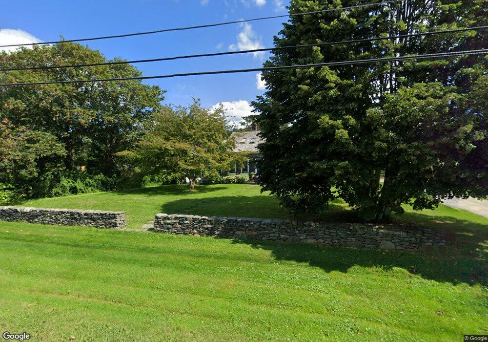
112 S Of Commons Rd Little Compton, RI 02837
Estimated Value: $711,274 - $1,139,000
3
Beds
2
Baths
1,564
Sq Ft
$608/Sq Ft
Est. Value
About This Home
This home is located at 112 S Of Commons Rd, Little Compton, RI 02837 and is currently estimated at $951,069, approximately $608 per square foot. 112 S Of Commons Rd is a home located in Newport County with nearby schools including Wilbur & McMahon School.
Ownership History
Date
Name
Owned For
Owner Type
Purchase Details
Closed on
Sep 12, 2019
Sold by
Gorman Walter and Gorman Sarah M
Bought by
Gorman Ret and Gorman
Current Estimated Value
Purchase Details
Closed on
Nov 1, 1974
Bought by
Gorman Walter and Gorman Sarah M
Create a Home Valuation Report for This Property
The Home Valuation Report is an in-depth analysis detailing your home's value as well as a comparison with similar homes in the area
Home Values in the Area
Average Home Value in this Area
Purchase History
| Date | Buyer | Sale Price | Title Company |
|---|---|---|---|
| Gorman Ret | -- | -- | |
| Gorman Ret | -- | -- | |
| Gorman Walter | -- | -- |
Source: Public Records
Mortgage History
| Date | Status | Borrower | Loan Amount |
|---|---|---|---|
| Previous Owner | Gorman Walter | $115,000 | |
| Previous Owner | Gorman Walter | $411,000 | |
| Previous Owner | Gorman Walter | $263,202 | |
| Previous Owner | Gorman Walter | $75,000 |
Source: Public Records
Tax History Compared to Growth
Tax History
| Year | Tax Paid | Tax Assessment Tax Assessment Total Assessment is a certain percentage of the fair market value that is determined by local assessors to be the total taxable value of land and additions on the property. | Land | Improvement |
|---|---|---|---|---|
| 2025 | $2,462 | $513,900 | $177,100 | $336,800 |
| 2024 | $2,131 | $419,500 | $154,000 | $265,500 |
| 2023 | $2,032 | $409,700 | $154,000 | $255,700 |
| 2022 | $2,008 | $409,700 | $154,000 | $255,700 |
| 2021 | $1,822 | $301,700 | $128,800 | $172,900 |
| 2020 | $1,807 | $301,700 | $128,800 | $172,900 |
| 2019 | $1,789 | $301,700 | $128,800 | $172,900 |
| 2018 | $1,787 | $299,800 | $128,800 | $171,000 |
| 2016 | $1,700 | $299,800 | $128,800 | $171,000 |
| 2015 | $1,657 | $288,100 | $117,100 | $171,000 |
| 2014 | $1,625 | $288,100 | $117,100 | $171,000 |
Source: Public Records
Map
Nearby Homes
- 141 S Of Commons Rd
- 128 Maple Ave
- 536 W Main Rd
- 18 Old Barn Rd
- 0 Willow Ave
- 441 W Main Rd
- 505 Long Hwy
- 189 Brayton Point Rd
- 304 Brayton Point Rd
- 255 John Dyer Rd
- 180 W Main Rd
- 19 Seabury Ln
- 17 Ferolbink Way
- 155 W Main Rd
- 245 John Dyer Rd
- 6 June Way
- 83 Long Hwy
- 55 W Main Rd
- 116 Amy Hart Path
- 515 Indian Ave
- 116 S Of Commons Rd
- 110 S Of Commons Rd
- 114F S Of Commons Rd
- 114 S Of Commons Rd
- 114 S Of Commons Rd
- 114C S Of Commons Rd
- 125 S Of Commons Rd
- 120 S Of Commons Rd
- 104 S Of Commons Rd
- 124 S Of Commons Rd
- 10 N Tupelo Dr
- 16 N Tupelo Dr
- 128 S Of Commons Rd
- 99 S Of Commons Rd
- 15 N Tupelo Dr
- 92 S Of Commons Rd
- 135 S Of Commons Rd
- 0 S Of Commons Rd Unit 957397
- 0 S Of Commons Rd Unit 957400
- 0 S Of Commons Rd Unit 957403