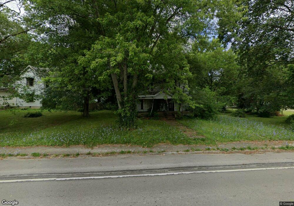
112 S Range St Newtown, IN 47969
Estimated Value: $66,436 - $225,000
--
Bed
2
Baths
1,892
Sq Ft
$80/Sq Ft
Est. Value
About This Home
This home is located at 112 S Range St, Newtown, IN 47969 and is currently estimated at $150,859, approximately $79 per square foot. 112 S Range St is a home located in Fountain County with nearby schools including Southeast Fountain Elementary School and Fountain Central High School.
Create a Home Valuation Report for This Property
The Home Valuation Report is an in-depth analysis detailing your home's value as well as a comparison with similar homes in the area
Home Values in the Area
Average Home Value in this Area
Tax History Compared to Growth
Tax History
| Year | Tax Paid | Tax Assessment Tax Assessment Total Assessment is a certain percentage of the fair market value that is determined by local assessors to be the total taxable value of land and additions on the property. | Land | Improvement |
|---|---|---|---|---|
| 2024 | $277 | $17,700 | $7,300 | $10,400 |
| 2023 | $258 | $14,400 | $5,100 | $9,300 |
| 2022 | $1,461 | $92,500 | $5,500 | $87,000 |
| 2021 | $1,447 | $77,200 | $5,500 | $71,700 |
| 2020 | $1,416 | $76,900 | $5,500 | $71,400 |
| 2019 | $1,261 | $72,700 | $5,500 | $67,200 |
| 2018 | $1,259 | $73,000 | $5,600 | $67,400 |
| 2017 | $1,193 | $76,600 | $5,600 | $71,000 |
| 2016 | $1,068 | $78,200 | $5,600 | $72,600 |
| 2014 | $1,050 | $75,300 | $5,600 | $69,700 |
| 2013 | $1,050 | $75,300 | $5,600 | $69,700 |
Source: Public Records
Map
Nearby Homes
- 315 W Main St
- 301 S East St
- 2587 E State Road 55
- 207 N Main St
- 104 & 108 N Main St
- 12325 S County Line Rd W
- 3334 E Grain Bin Rd
- 108 E High St
- 444 N Dry Run Rd
- 216 E Wabash St
- 413 E Shawnee Ln
- 106 W Lucas St
- 506 Park Ave
- 203 N Cross St
- 4520 N Ruppert Rd
- 6085 N 750 W
- 102 David Dr
- 901 Ravine Park Blvd
- 301 E Sycamore St
- 1202 S McDonald St
- 116 S Range St
- 113 S Range St
- 1103 W Washington Ave
- 206 S Range St
- 201 S Adams St
- 113 E Washington Ave
- 110 E Clay St
- 500 E Indiana 55
- 110 S Adams St
- 207 S Range St
- 106 S Adams St
- 104 E Ridge St
- 108 N Shawnee St
- 102 S Adams St
- 211 S Range St
- 110 S Shawnee St
- 209 S Adams St
- 214 S Range St
- 107 N Range St
- 215 S Range St