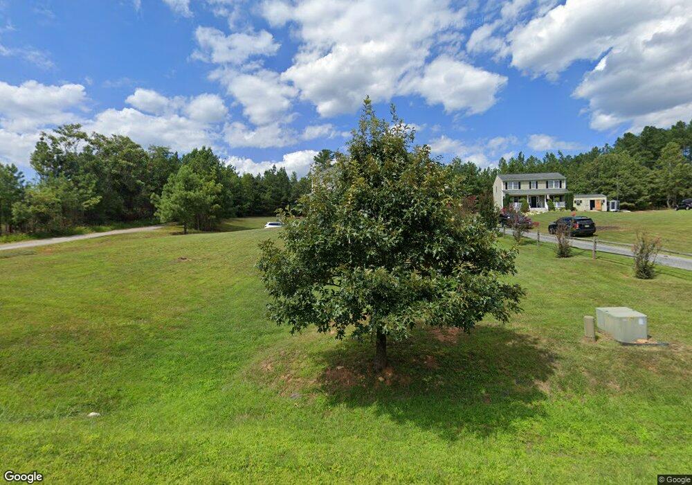
112 Shadwell Rd Madison Heights, VA 24572
Estimated Value: $388,077 - $431,000
3
Beds
3
Baths
2,160
Sq Ft
$189/Sq Ft
Est. Value
About This Home
This home is located at 112 Shadwell Rd, Madison Heights, VA 24572 and is currently estimated at $407,269, approximately $188 per square foot. 112 Shadwell Rd is a home located in Amherst County with nearby schools including Central Elementary School, Amherst Middle School, and Amherst County High School.
Ownership History
Date
Name
Owned For
Owner Type
Purchase Details
Closed on
Jun 14, 2024
Sold by
Brown Derrick R and Brown Samantha W
Bought by
Adkins Robert B and Adkins Lisa
Current Estimated Value
Home Financials for this Owner
Home Financials are based on the most recent Mortgage that was taken out on this home.
Original Mortgage
$189,900
Outstanding Balance
$180,057
Interest Rate
6.38%
Mortgage Type
New Conventional
Estimated Equity
$227,212
Purchase Details
Closed on
Nov 24, 2009
Sold by
Pleasant Ridge Inc
Bought by
Brown Derrick R and Brown Samantha W
Home Financials for this Owner
Home Financials are based on the most recent Mortgage that was taken out on this home.
Original Mortgage
$248,979
Interest Rate
5%
Mortgage Type
New Conventional
Create a Home Valuation Report for This Property
The Home Valuation Report is an in-depth analysis detailing your home's value as well as a comparison with similar homes in the area
Home Values in the Area
Average Home Value in this Area
Purchase History
| Date | Buyer | Sale Price | Title Company |
|---|---|---|---|
| Adkins Robert B | $384,900 | Commonwealth Land Title | |
| Brown Derrick R | $244,000 | None Available |
Source: Public Records
Mortgage History
| Date | Status | Borrower | Loan Amount |
|---|---|---|---|
| Open | Adkins Robert B | $189,900 | |
| Previous Owner | Brown Derrick R | $248,979 |
Source: Public Records
Tax History Compared to Growth
Tax History
| Year | Tax Paid | Tax Assessment Tax Assessment Total Assessment is a certain percentage of the fair market value that is determined by local assessors to be the total taxable value of land and additions on the property. | Land | Improvement |
|---|---|---|---|---|
| 2025 | $1,709 | $280,100 | $22,500 | $257,600 |
| 2024 | $1,709 | $280,100 | $22,500 | $257,600 |
| 2023 | $1,709 | $280,100 | $22,500 | $257,600 |
| 2022 | $1,709 | $280,100 | $22,500 | $257,600 |
| 2021 | $1,709 | $280,100 | $22,500 | $257,600 |
| 2020 | $1,709 | $280,100 | $22,500 | $257,600 |
| 2019 | $1,357 | $222,500 | $28,500 | $194,000 |
| 2018 | $1,357 | $222,500 | $28,500 | $194,000 |
| 2017 | $1,357 | $222,500 | $28,500 | $194,000 |
| 2016 | $1,357 | $222,500 | $28,500 | $194,000 |
| 2015 | $1,246 | $222,500 | $28,500 | $194,000 |
| 2014 | $1,246 | $222,500 | $28,500 | $194,000 |
Source: Public Records
Map
Nearby Homes
- 15 Cambridge Ct
- 17 Cambridge Ct
- 1170 Izaak Walton Rd
- 2.11 AC Izaak Walton Rd
- 180-Lot 2 Kentmoor Farm Rd
- Lot 1 Kentmoor Farm Rd
- 172 Stoney Creek Dr
- 11 Stoney Creek Dr
- 10 Stoney Creek Dr
- 0 Izaak Walton Rd
- 366 Kentmoor Farm Rd
- 1769 Izaak Walton Rd
- 250 S Wood Duck Dr
- 0 Commonwealth Dr Unit 361760
- 178 Covey Rd
- 255 Glade Rd
- 164 Glade Rd
- 1358 S Coolwell Rd
- 571 Dixie Airport Rd
- 121 Crestwood Dr
- 112 Shadwell Ln
- 186 Pleasant Ridge Dr
- 176 Pleasant Ridge Dr
- 172 Pleasant Ridge Dr
- 131 Northridge Place
- 121 Northridge Place
- 139 Northridge Place
- 143 Northridge Place
- 158 Cambridge Ct
- 159 Northridge Place
- 168 Cambridge Ct
- 142 Pleasant Ridge Dr
- 114 Cambridge Ct
- 176 Cambridge Ct
- 163 Northridge Place
- 124 Northridge Place
- 132 Northridge Place
- 128 Northridge Place
- 184 Cambridge Ct
- 150 Northridge Place