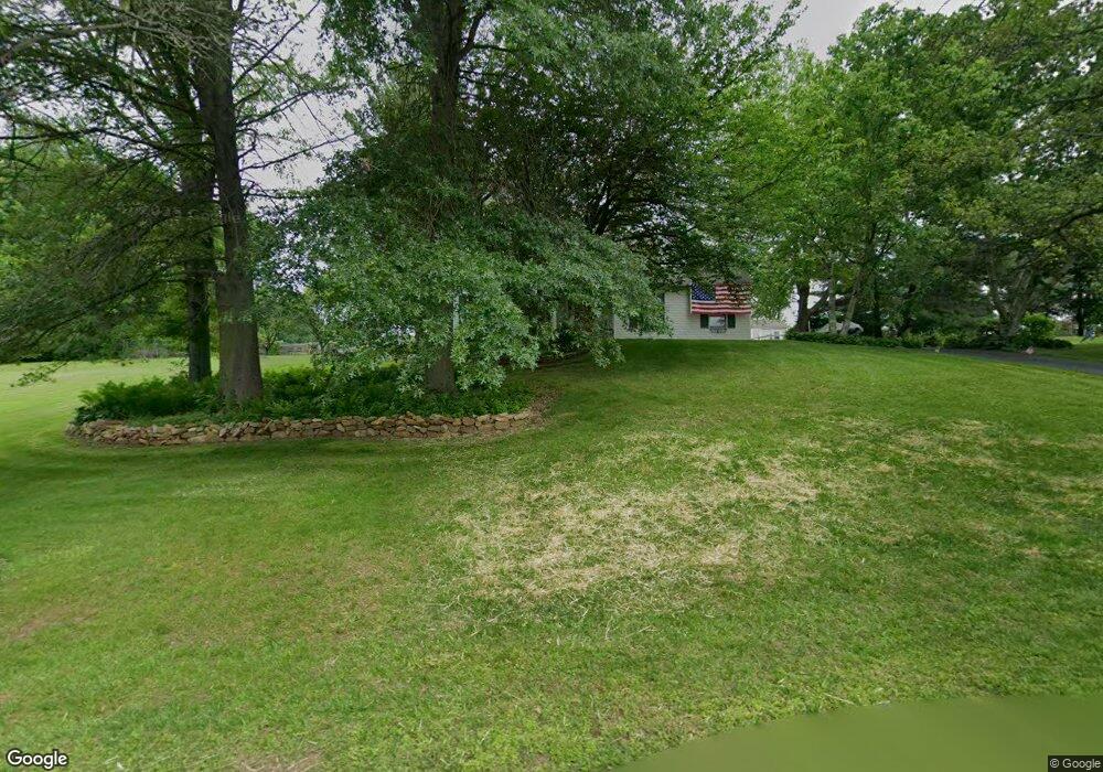
112 Shepherd Ln Lincoln University, PA 19352
Estimated Value: $493,819 - $570,000
3
Beds
3
Baths
2,196
Sq Ft
$242/Sq Ft
Est. Value
About This Home
This home is located at 112 Shepherd Ln, Lincoln University, PA 19352 and is currently estimated at $531,205, approximately $241 per square foot. 112 Shepherd Ln is a home located in Chester County with nearby schools including Penn London Elementary School, Avon Grove Intermediate School, and Fred S Engle Middle School.
Ownership History
Date
Name
Owned For
Owner Type
Purchase Details
Closed on
May 30, 1997
Sold by
Leake Robert B and Leake Cindy L
Bought by
Stock Paul C and Stock Joan P
Current Estimated Value
Home Financials for this Owner
Home Financials are based on the most recent Mortgage that was taken out on this home.
Original Mortgage
$156,750
Outstanding Balance
$22,644
Interest Rate
8.09%
Estimated Equity
$508,561
Create a Home Valuation Report for This Property
The Home Valuation Report is an in-depth analysis detailing your home's value as well as a comparison with similar homes in the area
Home Values in the Area
Average Home Value in this Area
Purchase History
| Date | Buyer | Sale Price | Title Company |
|---|---|---|---|
| Stock Paul C | $165,000 | -- |
Source: Public Records
Mortgage History
| Date | Status | Borrower | Loan Amount |
|---|---|---|---|
| Open | Stock Paul C | $156,750 |
Source: Public Records
Tax History Compared to Growth
Tax History
| Year | Tax Paid | Tax Assessment Tax Assessment Total Assessment is a certain percentage of the fair market value that is determined by local assessors to be the total taxable value of land and additions on the property. | Land | Improvement |
|---|---|---|---|---|
| 2025 | $6,136 | $151,510 | $38,070 | $113,440 |
| 2024 | $6,136 | $151,510 | $38,070 | $113,440 |
| 2023 | $5,932 | $151,510 | $38,070 | $113,440 |
| 2022 | $5,920 | $151,510 | $38,070 | $113,440 |
| 2021 | $5,797 | $151,510 | $38,070 | $113,440 |
| 2020 | $5,603 | $151,510 | $38,070 | $113,440 |
| 2019 | $5,463 | $151,510 | $38,070 | $113,440 |
| 2018 | $5,324 | $151,510 | $38,070 | $113,440 |
| 2017 | $5,213 | $151,510 | $38,070 | $113,440 |
| 2016 | $4,189 | $151,510 | $38,070 | $113,440 |
| 2015 | $4,189 | $151,510 | $38,070 | $113,440 |
| 2014 | $4,189 | $151,510 | $38,070 | $113,440 |
Source: Public Records
Map
Nearby Homes
- 12 Owenwood Dr
- 200 Armitage Ct
- 570 Lewisville Rd
- 1005 Oxford Rd
- 132 Hess Mill Rd
- 229 Saginaw Rd
- Sebastian Plan at Lexington Point
- Savannah Plan at Lexington Point
- Nottingham Plan at Lexington Point
- Covington Plan at Lexington Point
- Arcadia Plan at Lexington Point
- Ethan Plan at Lexington Point
- Magnolia Plan at Lexington Point
- Caldwell Plan at Lexington Point
- Andrews Plan at Lexington Point
- Kipling Plan at Lexington Point
- Lachlan Plan at Lexington Point
- Devonshire Plan at Lexington Point
- Hawthorne Plan at Lexington Point
- Augusta Plan at Lexington Point