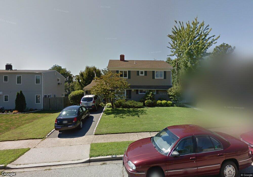
112 Stirrup Ln Levittown, NY 11756
Estimated Value: $728,947 - $772,000
--
Bed
2
Baths
1,964
Sq Ft
$382/Sq Ft
Est. Value
About This Home
This home is located at 112 Stirrup Ln, Levittown, NY 11756 and is currently estimated at $750,474, approximately $382 per square foot. 112 Stirrup Ln is a home located in Nassau County with nearby schools including Gardiners Avenue School, Jonas E. Salk Middle School, and Gen. Douglas MacArthur Senior High School.
Ownership History
Date
Name
Owned For
Owner Type
Purchase Details
Closed on
Jul 19, 2010
Sold by
Whitacre William and Whitacre Alice
Bought by
Powers Luke and Powers Allison
Current Estimated Value
Home Financials for this Owner
Home Financials are based on the most recent Mortgage that was taken out on this home.
Original Mortgage
$340,000
Outstanding Balance
$226,047
Interest Rate
4.73%
Mortgage Type
Purchase Money Mortgage
Estimated Equity
$524,427
Create a Home Valuation Report for This Property
The Home Valuation Report is an in-depth analysis detailing your home's value as well as a comparison with similar homes in the area
Home Values in the Area
Average Home Value in this Area
Purchase History
| Date | Buyer | Sale Price | Title Company |
|---|---|---|---|
| Powers Luke | $378,000 | -- |
Source: Public Records
Mortgage History
| Date | Status | Borrower | Loan Amount |
|---|---|---|---|
| Open | Powers Luke | $340,000 |
Source: Public Records
Tax History Compared to Growth
Tax History
| Year | Tax Paid | Tax Assessment Tax Assessment Total Assessment is a certain percentage of the fair market value that is determined by local assessors to be the total taxable value of land and additions on the property. | Land | Improvement |
|---|---|---|---|---|
| 2025 | $15,912 | $529 | $223 | $306 |
| 2024 | $4,273 | $529 | $223 | $306 |
| 2023 | $15,677 | $529 | $223 | $306 |
| 2022 | $15,677 | $529 | $223 | $306 |
| 2021 | $22,319 | $503 | $212 | $291 |
| 2020 | $17,107 | $929 | $554 | $375 |
| 2019 | $17,710 | $929 | $554 | $375 |
| 2018 | $16,842 | $929 | $0 | $0 |
| 2017 | $10,611 | $929 | $554 | $375 |
| 2016 | $15,105 | $929 | $554 | $375 |
| 2015 | $4,113 | $929 | $554 | $375 |
| 2014 | $4,113 | $929 | $554 | $375 |
| 2013 | $3,770 | $929 | $554 | $375 |
Source: Public Records
Map
Nearby Homes
- 267 Sprucewood Dr
- 59 Springtime Ln S
- 201 Sprucewood Dr
- 693 Wantagh Ave
- 341 Red Maple Dr S
- 39 Stirrup Ln
- 3651 Woodbridge Ln N
- 181 Springtime Ln N
- 146 Springtime Ln W
- 25 Red Maple Dr N
- 37 Star Ln
- 126 Swan Ln
- 3621 Regent Ln
- 63 Anchor Ln
- 685 Gardiners Ave
- 88 Anchor Ln
- 3641 Sarah Dr
- 3715 Regent Ln
- 3678 Bernard Dr
- 244 Water Ln S
- 110 Stirrup Ln
- 116 Stirrup Ln
- 259 Sprucewood Dr
- 263 Sprucewood Dr
- 106 Stirrup Ln
- 257 Sprucewood Dr
- 120 Stirrup Ln
- 111 Stirrup Ln
- 115 Stirrup Ln
- 109 Stirrup Ln
- 253 Sprucewood Dr
- 119 Stirrup Ln
- 104 Stirrup Ln
- 105 Stirrup Ln
- 275 Sprucewood Dr
- 121 Stirrup Ln
- 251 Sprucewood Dr
- 100 Stirrup Ln
- 103 Stirrup Ln
- 15 Sprucewood Dr