112 Stone Ridge Meadows Dr O Fallon, MO 63366
Estimated Value: $719,000 - $979,000
3
Beds
4
Baths
3,030
Sq Ft
$287/Sq Ft
Est. Value
About This Home
This home is located at 112 Stone Ridge Meadows Dr, O Fallon, MO 63366 and is currently estimated at $869,776, approximately $287 per square foot. 112 Stone Ridge Meadows Dr is a home with nearby schools including Mount Hope Elementary School, Fort Zumwalt North Middle School, and Fort Zumwalt North High School.
Ownership History
Date
Name
Owned For
Owner Type
Purchase Details
Closed on
Oct 19, 2021
Sold by
Conoyer Lynn L and Conoyer Craig T
Bought by
Conoyer Lynn L and Conoyer Craig T
Current Estimated Value
Home Financials for this Owner
Home Financials are based on the most recent Mortgage that was taken out on this home.
Original Mortgage
$380,000
Outstanding Balance
$290,056
Interest Rate
2.1%
Mortgage Type
New Conventional
Estimated Equity
$579,720
Purchase Details
Closed on
Nov 1, 2016
Sold by
Conoyer Craig T and Conoyer Lynn L
Bought by
Joint Spousal Trust Of Craig T Conoyer A
Home Financials for this Owner
Home Financials are based on the most recent Mortgage that was taken out on this home.
Original Mortgage
$240,000
Interest Rate
3.42%
Mortgage Type
New Conventional
Purchase Details
Closed on
Oct 26, 2006
Sold by
Arbor Realty Group Llc
Bought by
Conoyer Craig and Conoyer Lynn
Create a Home Valuation Report for This Property
The Home Valuation Report is an in-depth analysis detailing your home's value as well as a comparison with similar homes in the area
Home Values in the Area
Average Home Value in this Area
Purchase History
| Date | Buyer | Sale Price | Title Company |
|---|---|---|---|
| Conoyer Lynn L | -- | None Available | |
| Joint Spousal Trust Of Craig T Conoyer A | -- | None Available | |
| Conoyer Craig | -- | None Available |
Source: Public Records
Mortgage History
| Date | Status | Borrower | Loan Amount |
|---|---|---|---|
| Open | Conoyer Lynn L | $380,000 | |
| Closed | Joint Spousal Trust Of Craig T Conoyer A | $240,000 |
Source: Public Records
Tax History
| Year | Tax Paid | Tax Assessment Tax Assessment Total Assessment is a certain percentage of the fair market value that is determined by local assessors to be the total taxable value of land and additions on the property. | Land | Improvement |
|---|---|---|---|---|
| 2025 | $8,241 | $147,719 | -- | -- |
| 2023 | $8,237 | $131,420 | $0 | $0 |
| 2022 | $8,287 | $123,018 | $0 | $0 |
| 2021 | $8,281 | $123,018 | $0 | $0 |
| 2020 | $7,235 | $103,836 | $0 | $0 |
| 2019 | $7,211 | $103,836 | $0 | $0 |
| 2018 | $6,900 | $94,953 | $0 | $0 |
| 2017 | $6,867 | $94,953 | $0 | $0 |
| 2016 | $6,708 | $92,342 | $0 | $0 |
| 2015 | $6,231 | $92,342 | $0 | $0 |
| 2014 | $4,568 | $13,300 | $0 | $0 |
Source: Public Records
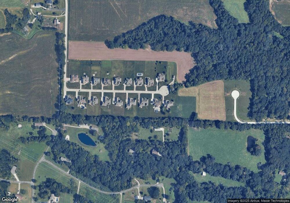
Map
Nearby Homes
- 3.59 Acres Matteson Blvd
- 7.19 Acres Matteson Blvd
- 3.6 Acres Matteson Blvd
- 765 Koch Rd
- 1315 New Charter Ln
- 1251 Lydia Ln
- 1351 New Charter Ln
- 207 Bluestem Ln
- 1104 Duxbury Ln
- 110 Cobble Rd
- 1020 Ashfield Ln
- 140 Park Ridge Dr
- 61 Brimstone Corner
- 1548 Hunters Meadow Dr
- 1551 Rosedale Dr Unit 72A
- 231 England Dr
- 990 Stonecastle Dr
- 355 Shamrock St
- 349 Shamrock St
- 272 Clodagh Ln
- 110 Stone Ridge Meadows Dr
- 114 Stone Ridge Meadows Dr
- 115 Stone Ridge Meadows Dr
- 108 Stone Ridge Meadows Dr
- 111 Stone Ridge Meadows Dr
- 113 Stone Ridge Meadows Dr
- 0Lot 14 Stone Ridge Meadows Dr
- 0Lot 4TBB Stone Ridge Meadows Dr
- 0Lot 3TBB Stone Ridge Meadows Dr
- 0Lot 2TBB Stone Ridge Meadows Dr
- 33LOTS Stone Ridge Meadows Dr
- 015 TBB Stone Ridge Meadows Dr
- 0Lot 8TBB Stone Ridge Meadows Dr
- 0Lot 7TBB Stone Ridge Meadows Dr
- 0Lot 6TBB Stone Ridge Meadows Dr
- 0Lot 5TBB Stone Ridge Meadows Dr
- 5Lot # Stone Ridge Meadows Dr Unit .84ac
- 15Lot # Stone Ridge Meadows Dr Unit .97AC
- 6Lot # Stone Ridge Meadows Dr Unit .84AC
- 3Lot # Stone Ridge Meadows Dr
Your Personal Tour Guide
Ask me questions while you tour the home.