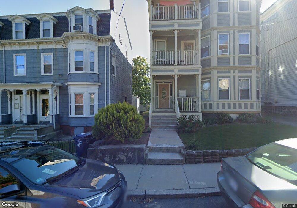
112 Thornton St Unit 1 Roxbury, MA 02119
Fort Hill NeighborhoodEstimated Value: $586,306 - $621,000
3
Beds
2
Baths
1,229
Sq Ft
$492/Sq Ft
Est. Value
About This Home
This home is located at 112 Thornton St Unit 1, Roxbury, MA 02119 and is currently estimated at $605,077, approximately $492 per square foot. 112 Thornton St Unit 1 is a home located in Suffolk County with nearby schools including City on a Hill Charter Public School and Paige Academy.
Ownership History
Date
Name
Owned For
Owner Type
Purchase Details
Closed on
Jan 23, 2008
Sold by
Kuritnik Alexander
Bought by
Hyman Syvalia
Current Estimated Value
Home Financials for this Owner
Home Financials are based on the most recent Mortgage that was taken out on this home.
Original Mortgage
$235,000
Outstanding Balance
$148,414
Interest Rate
6.17%
Mortgage Type
Purchase Money Mortgage
Estimated Equity
$456,663
Create a Home Valuation Report for This Property
The Home Valuation Report is an in-depth analysis detailing your home's value as well as a comparison with similar homes in the area
Home Values in the Area
Average Home Value in this Area
Purchase History
| Date | Buyer | Sale Price | Title Company |
|---|---|---|---|
| Hyman Syvalia | $235,000 | -- |
Source: Public Records
Mortgage History
| Date | Status | Borrower | Loan Amount |
|---|---|---|---|
| Open | Hyman Syvalia | $235,000 |
Source: Public Records
Tax History Compared to Growth
Tax History
| Year | Tax Paid | Tax Assessment Tax Assessment Total Assessment is a certain percentage of the fair market value that is determined by local assessors to be the total taxable value of land and additions on the property. | Land | Improvement |
|---|---|---|---|---|
| 2025 | $6,110 | $527,600 | $0 | $527,600 |
| 2024 | $5,390 | $494,500 | $0 | $494,500 |
| 2023 | $5,154 | $479,900 | $0 | $479,900 |
| 2022 | $4,972 | $457,000 | $0 | $457,000 |
| 2021 | $4,876 | $457,000 | $0 | $457,000 |
| 2020 | $4,595 | $435,100 | $0 | $435,100 |
| 2019 | $4,246 | $402,800 | $0 | $402,800 |
| 2018 | $3,910 | $373,100 | $0 | $373,100 |
| 2017 | $3,692 | $348,600 | $0 | $348,600 |
| 2016 | $3,551 | $322,800 | $0 | $322,800 |
| 2015 | $3,157 | $260,700 | $0 | $260,700 |
| 2014 | $3,007 | $239,000 | $0 | $239,000 |
Source: Public Records
Map
Nearby Homes
- 9-45 Vale St
- 2856 Washington St
- 8 Brinton St Unit 2
- 9 W Cedar St Unit 1
- 16 Mayfair St
- 63 Beech Glen St
- 4 Fort Ave Unit 2
- 38 Juniper St
- 51 Beech Glen St Unit 3
- 90 Munroe St
- 31 Dorr St
- 94 Walnut Ave
- 59 Fort Ave
- 37 Regent St Unit 2
- 10 Linwood St
- 151 Townsend St
- 35-37 Notre Dame St
- 26-28-30 Notre Dame St
- 49 Norfolk St
- 51 Saint James St
- 112 Thornton St Unit 3
- 112 Thornton St
- 110 Thorton Unit 3
- 114-116 Thornton St Unit 3
- 114-116 Thornton St Unit 1
- 110 Thornton St
- 110 Thornton St Unit 2,3
- 110 Thornton St Unit 2
- 114 Thornton St Unit 2
- 114 Thornton St Unit 116
- 114 Thornton St
- 108 Thornton St
- 108 Thornton St Unit 2
- 112,3 Thornton Unit 3
- 120 Thornton St
- 120 Thornton St Unit 3
- 102 Thornton St
- 2741 Washington St
- 2741 Washington St Unit 4
- 1 Ellis St Unit 3