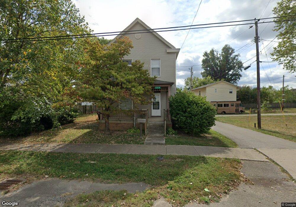
112 Union St New Richmond, OH 45157
Estimated Value: $132,970 - $174,000
3
Beds
2
Baths
1,544
Sq Ft
$99/Sq Ft
Est. Value
About This Home
This home is located at 112 Union St, New Richmond, OH 45157 and is currently estimated at $152,743, approximately $98 per square foot. 112 Union St is a home located in Clermont County with nearby schools including Locust Corner Elementary School, New Richmond Middle School, and New Richmond High School.
Ownership History
Date
Name
Owned For
Owner Type
Purchase Details
Closed on
Apr 24, 2021
Sold by
Ring Jeremy D
Bought by
Homan Frank X
Current Estimated Value
Purchase Details
Closed on
Apr 9, 2021
Sold by
Babcock Diane M and Babcock Craig L
Bought by
Ring Jeremy D
Purchase Details
Closed on
May 3, 2019
Sold by
Babcock Diane M and Babcock Craig L
Bought by
Ring Jeremy D
Home Financials for this Owner
Home Financials are based on the most recent Mortgage that was taken out on this home.
Original Mortgage
$83,763
Interest Rate
3.82%
Mortgage Type
VA
Purchase Details
Closed on
May 1, 1985
Create a Home Valuation Report for This Property
The Home Valuation Report is an in-depth analysis detailing your home's value as well as a comparison with similar homes in the area
Home Values in the Area
Average Home Value in this Area
Purchase History
| Date | Buyer | Sale Price | Title Company |
|---|---|---|---|
| Homan Frank X | $80,000 | None Available | |
| Ring Jeremy D | -- | None Available | |
| Ring Jeremy D | $82,000 | None Available | |
| -- | $37,900 | -- |
Source: Public Records
Mortgage History
| Date | Status | Borrower | Loan Amount |
|---|---|---|---|
| Previous Owner | Ring Jeremy D | $83,763 |
Source: Public Records
Tax History Compared to Growth
Tax History
| Year | Tax Paid | Tax Assessment Tax Assessment Total Assessment is a certain percentage of the fair market value that is determined by local assessors to be the total taxable value of land and additions on the property. | Land | Improvement |
|---|---|---|---|---|
| 2024 | $1,125 | $26,780 | $1,790 | $24,990 |
| 2023 | $1,125 | $26,780 | $1,790 | $24,990 |
| 2022 | $1,029 | $21,840 | $1,470 | $20,370 |
| 2021 | $1,030 | $21,840 | $1,470 | $20,370 |
| 2020 | $1,030 | $21,840 | $1,470 | $20,370 |
| 2019 | $980 | $23,280 | $1,160 | $22,120 |
| 2018 | $596 | $23,280 | $1,160 | $22,120 |
| 2017 | $595 | $23,280 | $1,160 | $22,120 |
| 2016 | $557 | $21,350 | $1,050 | $20,300 |
| 2015 | $534 | $21,350 | $1,050 | $20,300 |
| 2014 | $534 | $21,350 | $1,050 | $20,300 |
| 2013 | $907 | $20,440 | $1,050 | $19,390 |
Source: Public Records
Map
Nearby Homes
- 412 Main St
- 418 Front St
- 411 Front St
- 314 Hotel St
- AC U S Route 52
- 1377 U S Route 52
- 222 Lights Pointe Ct
- 730 Greenmound Rd
- 776 Washington St
- 125 Regatta Dr
- 248 Rivers Breeze Ct
- 246 Rivers Breeze Ct
- 110 River Heights Dr
- 208 River Heights Dr
- 113 River Heights Dr
- Sienna Plan at Riverview Bluffs
- Fairton Plan at Riverview Bluffs
- Taylor Plan at Riverview Bluffs
- Pennington Plan at Riverview Bluffs
- Aldridge Plan at Riverview Bluffs