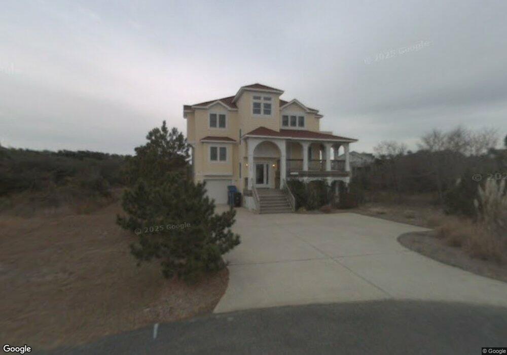
112 Vivian Ct Unit 48 Kitty Hawk, NC 27949
Estimated Value: $1,176,000 - $1,445,000
5
Beds
6
Baths
2,966
Sq Ft
$449/Sq Ft
Est. Value
About This Home
This home is located at 112 Vivian Ct Unit 48, Kitty Hawk, NC 27949 and is currently estimated at $1,332,199, approximately $449 per square foot. 112 Vivian Ct Unit 48 is a home with nearby schools including Kitty Hawk Elementary School, First Flight Middle School, and First Flight High School.
Ownership History
Date
Name
Owned For
Owner Type
Purchase Details
Closed on
Mar 25, 2009
Sold by
Mckeown Stewart N and Mckeown Mary Ann
Bought by
The William B Hannon Revocable Living Tr
Current Estimated Value
Home Financials for this Owner
Home Financials are based on the most recent Mortgage that was taken out on this home.
Original Mortgage
$417,000
Outstanding Balance
$265,296
Interest Rate
5.14%
Mortgage Type
Purchase Money Mortgage
Estimated Equity
$1,066,903
Create a Home Valuation Report for This Property
The Home Valuation Report is an in-depth analysis detailing your home's value as well as a comparison with similar homes in the area
Home Values in the Area
Average Home Value in this Area
Purchase History
| Date | Buyer | Sale Price | Title Company |
|---|---|---|---|
| The William B Hannon Revocable Living Tr | $750,000 | None Available |
Source: Public Records
Mortgage History
| Date | Status | Borrower | Loan Amount |
|---|---|---|---|
| Open | The William B Hannon Revocable Living Tr | $417,000 |
Source: Public Records
Map
Nearby Homes
- 105 Yolanda Terrace Unit 19
- 30 11th Ave W Unit Lot 63
- 125 Seabreeze Dr
- 125 Seabreeze Dr Unit Lot 10
- 45 N Dune Loop Unit Lot 55
- 102 Sea Hawk Dr E Unit Lot 19
- 131 Brandon Ct Unit Lot 35
- 126 Jay Crest Rd Unit 3
- 123 Georgetown Rd Unit 19
- 123 Georgetown Sands Rd Unit 19
- 120 Tuckahoe Dr W Unit 75
- 134 Plover Dr Unit lot A-3D
- 101 Georgetown Sands Rd Unit 47
- 114 Sea Hawk Dr W Unit Lot 29
- 343 Sea Oats Trail Unit Lot 10
- 105 Plover Dr Unit Lot 3
- 102 Settlers Ln Unit Lot 7R
- 117 Osprey Ridge Rd Unit Lot 12
- 101 Nash Rd Unit Lot 1
- 134 Four Seasons Ln Unit 81
- 112 Vivian Ct
- 114 Vivian Ct
- 109 Bias Ln E
- 108 Charles Jenkins Ln W Unit 14
- 108 Charles Jenkins Ln W
- 108 Charles Jenkins Ln W
- 108 Charles Jenkins Ln W
- 117 Bias Ln E
- 116 Vivian Ct
- 106 Charles Jenkins Ln E Unit 51
- 118 Vivian Ct
- 107 Bias Ln E
- 111 Bias Ln E Unit Lot12
- 111 Bias Ln E
- 115 Bias Ln E
- 104 Charles Jenkins Ln W
- 104 Charles Jenkins Ln W
- 108 Ocean Crest Way Unit 41
- 108 Ocean Crest Way
- 113 Bias Ln E
Your Personal Tour Guide
Ask me questions while you tour the home.