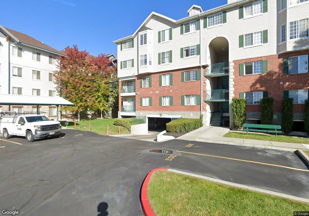
112 W 1230 N Provo, UT 84604
Riverside NeighborhoodEstimated Value: $341,631 - $403,000
3
Beds
2
Baths
1,022
Sq Ft
$359/Sq Ft
Est. Value
About This Home
This home is located at 112 W 1230 N, Provo, UT 84604 and is currently estimated at $366,908, approximately $359 per square foot. 112 W 1230 N is a home located in Utah County with nearby schools including Rock Canyon Elementary School, Centennial Middle School, and Timpview High School.
Ownership History
Date
Name
Owned For
Owner Type
Purchase Details
Closed on
Feb 4, 2022
Sold by
Kimball and Sara
Bought by
Kimball David K and Kimball Sara L
Current Estimated Value
Purchase Details
Closed on
May 14, 2015
Sold by
Moody John
Bought by
Kimball David and Kimball Sara
Purchase Details
Closed on
Aug 3, 2005
Sold by
Covert Michael W and Covert Ludwiga E
Bought by
Moody John
Home Financials for this Owner
Home Financials are based on the most recent Mortgage that was taken out on this home.
Original Mortgage
$120,200
Interest Rate
5.48%
Mortgage Type
Fannie Mae Freddie Mac
Purchase Details
Closed on
Feb 7, 2002
Sold by
Covert Michael W and Covert Ludwiga E
Bought by
Covert Michael W and Covert Ludwiga E
Home Financials for this Owner
Home Financials are based on the most recent Mortgage that was taken out on this home.
Original Mortgage
$128,000
Interest Rate
5%
Mortgage Type
Purchase Money Mortgage
Purchase Details
Closed on
Nov 13, 1998
Sold by
Bunker Joseph J
Bought by
Covert Michael W and Covert Ludwiga E
Home Financials for this Owner
Home Financials are based on the most recent Mortgage that was taken out on this home.
Original Mortgage
$124,600
Interest Rate
6.42%
Mortgage Type
FHA
Purchase Details
Closed on
Apr 11, 1997
Sold by
Burnett Mark
Bought by
Bunker Joseph J
Home Financials for this Owner
Home Financials are based on the most recent Mortgage that was taken out on this home.
Original Mortgage
$97,200
Interest Rate
7.66%
Mortgage Type
FHA
Create a Home Valuation Report for This Property
The Home Valuation Report is an in-depth analysis detailing your home's value as well as a comparison with similar homes in the area
Home Values in the Area
Average Home Value in this Area
Purchase History
| Date | Buyer | Sale Price | Title Company |
|---|---|---|---|
| Kimball David K | -- | None Listed On Document | |
| Kimball David | -- | Old Republic Title | |
| Moody John | -- | Metro National Title | |
| Covert Michael W | -- | First American Title Co | |
| Covert Michael W | -- | First American Title Co | |
| Bunker Joseph J | -- | Provo Land Title |
Source: Public Records
Mortgage History
| Date | Status | Borrower | Loan Amount |
|---|---|---|---|
| Previous Owner | Moody John | $120,200 | |
| Previous Owner | Covert Michael W | $128,000 | |
| Previous Owner | Covert Michael W | $124,600 | |
| Previous Owner | Bunker Joseph J | $97,200 |
Source: Public Records
Tax History Compared to Growth
Tax History
| Year | Tax Paid | Tax Assessment Tax Assessment Total Assessment is a certain percentage of the fair market value that is determined by local assessors to be the total taxable value of land and additions on the property. | Land | Improvement |
|---|---|---|---|---|
| 2025 | $1,793 | $181,115 | $36,600 | $292,700 |
| 2024 | $1,793 | $176,495 | $0 | $0 |
| 2023 | $1,711 | $166,045 | $0 | $0 |
| 2022 | $1,837 | $179,740 | $0 | $0 |
| 2021 | $1,544 | $263,500 | $31,600 | $231,900 |
| 2020 | $1,523 | $243,600 | $29,200 | $214,400 |
| 2019 | $1,325 | $220,500 | $26,000 | $194,500 |
| 2018 | $1,210 | $204,200 | $26,000 | $178,200 |
| 2017 | $1,032 | $95,645 | $0 | $0 |
| 2016 | $1,025 | $88,550 | $0 | $0 |
| 2015 | $957 | $83,600 | $0 | $0 |
| 2014 | $918 | $83,600 | $0 | $0 |
Source: Public Records
Map
Nearby Homes
- 98 W 1230 N Unit 225
- 1559 N Riverside Ave Unit 4
- 360 Sumac Ln
- 836 N University Ave Unit 111
- 182 E 2090 N
- 1254 N 800 W
- 186 E 2100 N
- 556 W 800 N Unit 18
- 828 N 600 W
- 810 N 600 W
- 1661 Willowbrook Dr
- 1149 N 850 W
- 920 W Columbia Ln
- 1939 N 700 W
- 1633 Woodland Dr
- 2244 N Canyon Rd Unit 305
- 2244 N Canyon Rd Unit 207
- 1685 Hickory Ln
- 1500 Jordan Ave
- 1763 Willowbrook Dr Unit 4D1
- 112 W 1230 N Unit 315
- 112 W 1230 N
- 112 W 1230 N
- 112 W 1230 N Unit 312
- 112 W 1230 N
- 112 W 1230 N
- 112 W 1230 N
- 112 W 1230 N Unit 308
- 112 W 1230 N Unit 307
- 112 W 1230 N
- 112 W 1230 N
- 112 W 1230 N
- 112 W 1230 N
- 112 W 1230 N
- 112 W 1230 N
- 112 W 1230 N
- 112 W 1230 N Unit 207
- 112 W 1230 N
- 112 W 1230 N Unit 205
- 112 W 1230 N